Tamarack Lake sits beyond Upper Echo Lake in Desolation Wilderness, near the south end of Lake Tahoe. The hike follows the rocky Echo Lakes shoreline before climbing through exposed granite and dropping toward the lake beneath Ralston Peak.
The lake makes a worthwhile turnaround point for a day hike, but hikers with more time can continue toward Ralston Lake, Cagwin Lake and beyond.
Tamarack also has a conservation story that is easy to miss from the shoreline: it was included in a Forest Service fish-removal project intended to improve habitat for Sierra Nevada yellow-legged frogs and later became part of a frog translocation effort.
Tamarack Lake Quick Facts
- Location: Desolation Wilderness near Echo Summit and South Lake Tahoe
- Starting point: Echo Lakes Trailhead
- Distance: About 7.9 miles round trip
- Elevation gain: About 935 feet
- Route type: Out and back, with optional nearby lake extensions
- Difficulty: Moderate
- Parking: Free seasonal trailhead parking; arrive early
- Permits: Required seasonally for day use, Required year-round for overnight
- Restrooms: Seasonal facilities at the trailhead
- Potable water: Not available at the trailhead
- Dogs: Keep dogs on a leash no longer than six feet
- Boat taxi: Seasonal service can shorten the hike along Echo Lakes
Where Is Tamarack Lake?
Tamarack Lake is in Desolation Wilderness southwest of Lake Tahoe and north of Highway 50. The usual hiking route begins at the Echo Lakes Trailhead near Echo Summit.
How to Get to Echo Lakes Trailhead
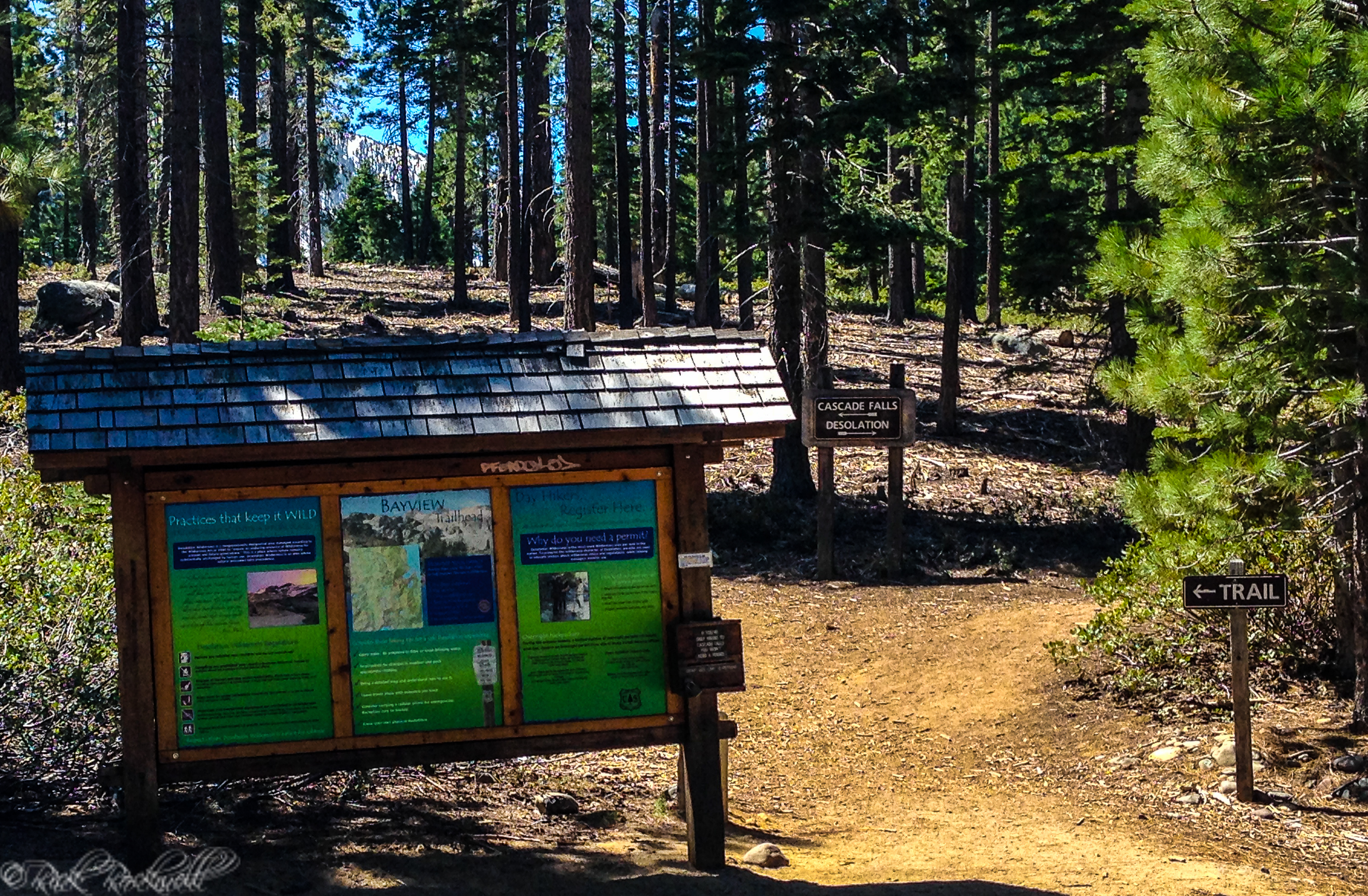
The Tamarack Lake hike begins at the Echo Lakes Trailhead near Echo Chalet.
From Highway 50 near Echo Summit, take Johnson Pass Road toward Echo Lakes and follow the road to the trailhead area. The Forest Service describes the site as seasonal, with opening and closing dates dependent on weather conditions.
Road, parking, snow, and trail conditions can change, particularly early and late in the hiking season.
Parking at Echo Lakes Trailhead
Parking is free at the Echo Lakes Trailhead, but finding a space can be one of the most difficult parts of the outing.
The trailhead is a popular gateway into Desolation Wilderness and also provides access to the Pacific Crest Trail. The Forest Service warns that the area can become extremely crowded on weekends.
I arrived early and was on the trail by 7 a.m. For the first few hours, I had long stretches of trail to myself, but I would not expect that later in the day.
Echo Lake Boat Taxi Option
Hikers who do not want to walk the entire Echo Lakes shoreline route can use the seasonal boat taxi operated by Echo Chalet.
As of July 2026, Echo Chalet lists the taxi at $25 per person one way with a four-person minimum. The service operates without a fixed schedule once the minimum is met, and its listed store, boat-ramp, and taxi hours are 9 a.m. to 5 p.m. during the operating season.
Smaller groups may pay the $100 minimum when fewer than four passengers are available.
Prices, schedules, minimum passenger requirements, and operating dates can change. Verify the service before building your hike around it.
Echo Chalet has been part of this mountain gateway since 1939, and continues to operate as a seasonal resort under a Forest Service special-use permit.
Hiking from Echo Lakes Trailhead to Tamarack Lake
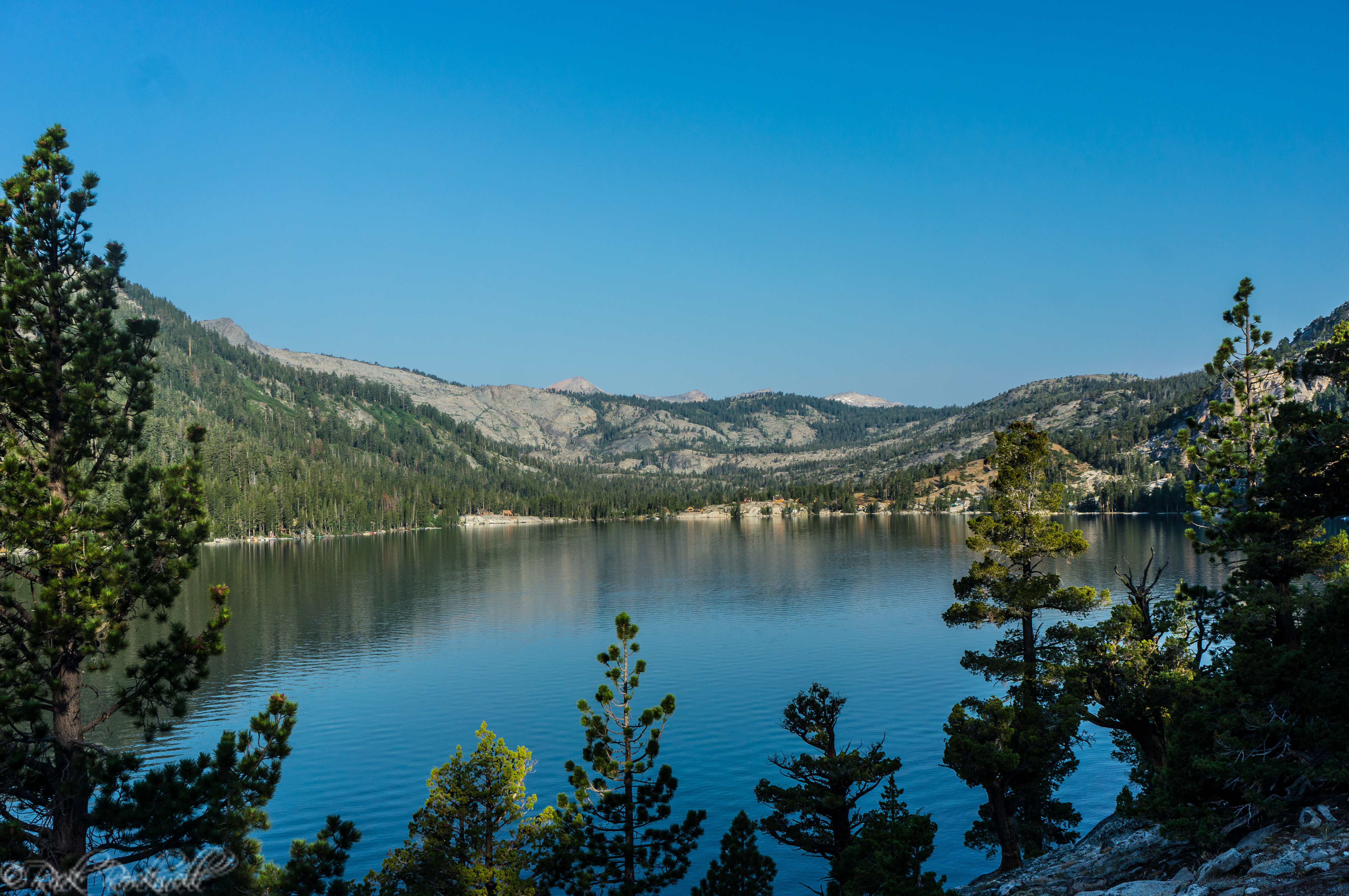
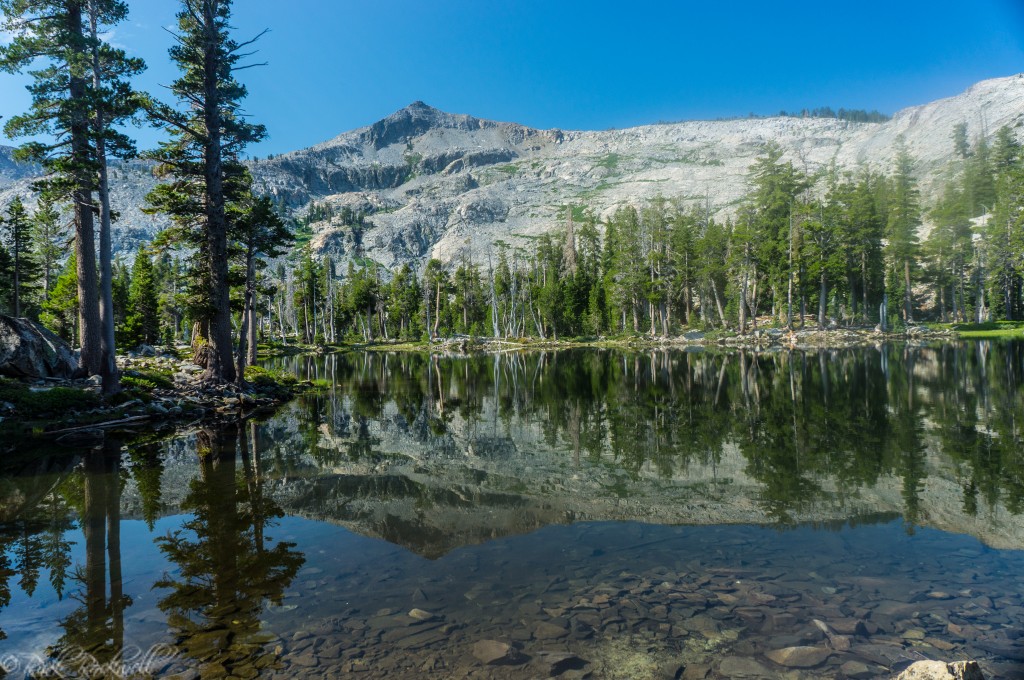
The route follows the main trail beside Lower and Upper Echo Lakes before climbing into higher and more exposed terrain.
At nearly eight miles round trip, the combination of distance, elevation, rocky footing, and sun exposure makes the outing feel more demanding than a casual walk around a mountain lake.
Distances can vary slightly depending on the exact starting point, route followed, shoreline wandering, and whether you add nearby lakes.
Route Point | Distance | What to Expect |
Echo Lakes Trailhead | Starting point | Parking, seasonal restrooms, Echo Chalet, and no potable water |
Upper Echo Lake area | About 2.5 miles | Rocky shoreline trail, cabins, and lake views |
Tamarack Lake turnoff | Beyond Upper Echo Lake | Leave the main Pacific Crest Trail corridor |
Tamarack Lake | About 3.8 miles one way | Final approach beneath Ralston Peak |
Along Lower and Upper Echo Lakes
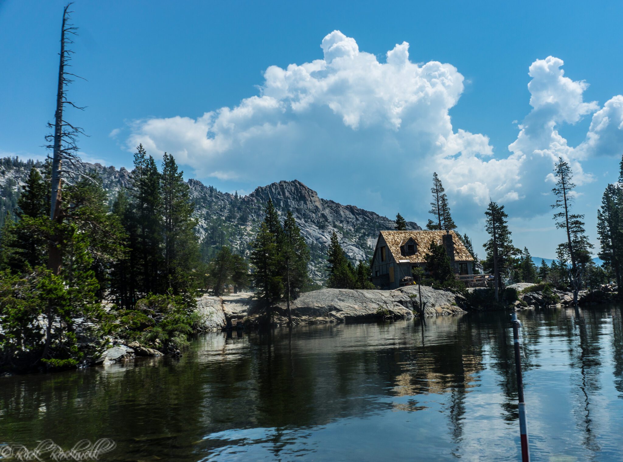
The early miles shift between water, granite, private cabins, forest, and views across Lower and Upper Echo Lakes. I took my time through this section, partly because the cabins have always fascinated me.
They make it easy to imagine spending an entire summer relaxing at Echo Lakes, although hauling supplies in and out might make that fantasy less romantic.
The cabins belong to a recreation landscape that began developing as improved roads made Sierra summer travel more practical during the early automobile era. A 1918 Sacramento Daily Union social column was already referring to people spending time at a summer home near Echo Lake.
A 1915 Auburn Daily Journal report also described trails serving Echo Lake, Desolation Valley, Lake of the Woods, and Glen Alpine.
That does not mean the modern Tamarack route follows an exact alignment dating to 1915. It does show that Echo Lakes had become part of a connected Sierra recreation network more than a century ago.
Past Upper Echo Lake, the cabins and boats begin to fall behind. The terrain becomes rougher, more exposed, and more recognizably Desolation Wilderness.
The Climb Beyond Upper Echo Lake
The hardest part of the hike for me came after leaving the Upper Echo Lake area. The trail began climbing through rocky and increasingly exposed terrain. During my mid-July hike, the combination of sun and elevation made this section more tiring than I expected.
The route reaches elevations around 7,800 feet, which can be noticeable for hikers accustomed to lower terrain. I certainly felt it.
The granite surrounding the trail is part of a much larger geological story.
Desolation Wilderness lies within the Sierra batholith, and glaciers later carved and scoured the landscape. The Forest Service says ice sheets more than 1,000 feet deep once covered portions of the western Sierra slopes and Tahoe Basin.
Their movement helped form lake basins and left behind exposed granite, polished rock, erratics, and the rugged terrain hikers see today.
You do not need to understand the geology to appreciate the hike, but it explains why the route beyond Echo Lakes feels so different from a typical forest trail.
Carry enough water from the beginning. There is no potable water at the trailhead, and water collected in the backcountry should be properly treated.
Eventually, the route leaves the main corridor and turns toward Tamarack Lake beneath Ralston Peak.
The Final Approach to Tamarack Lake
During my visit, the final approach to Tamarack Lake was less obvious than the main trail along Echo Lakes.
Parts of the route appeared worn and indistinct, so I paid close attention to the terrain and surrounding landmarks. Ralston Peak provides a useful visual reference, but hikers should carry a current map or navigation tool rather than relying on the mountain alone.
When I had trouble following the route, I took a more direct line toward Ralston Peak. I later returned toward Echo Lakes by traveling off trail in a southerly direction.
That was part of my original experience, but it is not a route recommendation.
Cross-country travel through granite terrain can be more complicated than it appears. Unless you have appropriate navigation skills and a clear reason to leave the trail, follow the established route and avoid treating my improvised path as directions.
What Tamarack Lake Is Like
Tamarack Lake feels more sheltered than many of the exposed granite basins elsewhere in Desolation Wilderness.
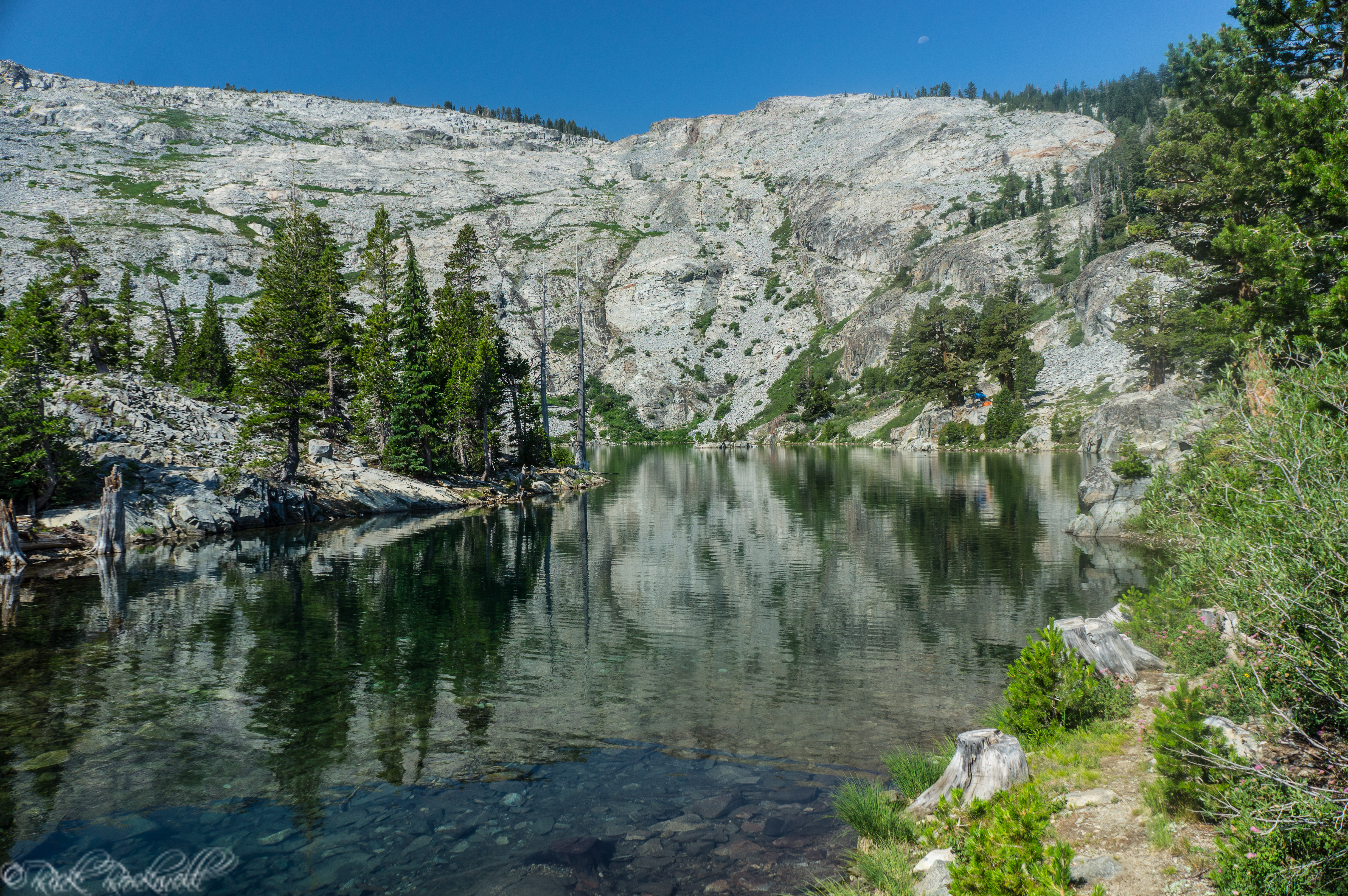
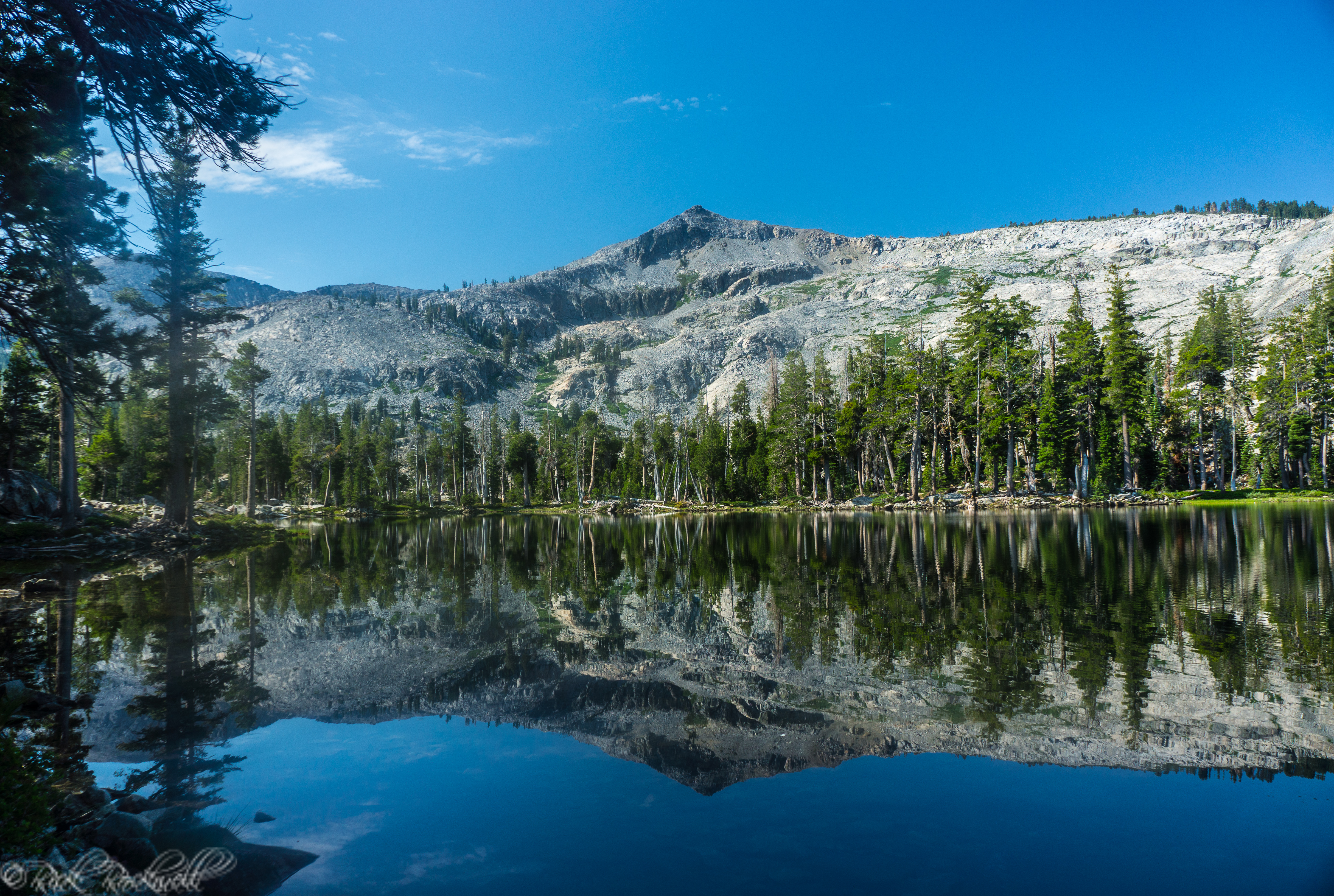
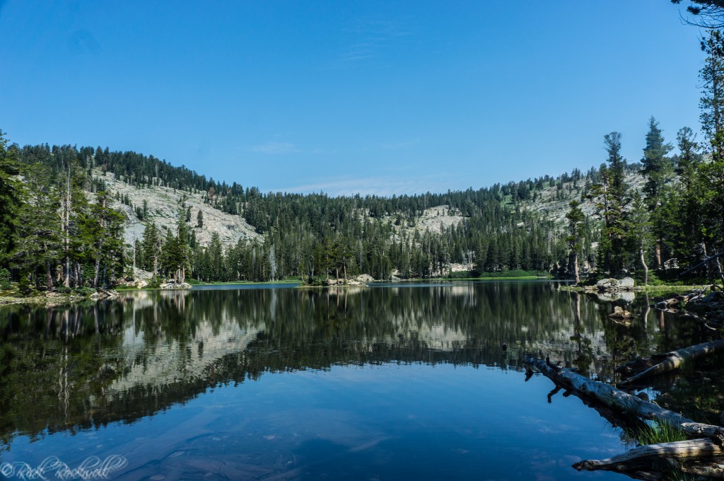
When I reached the lake in the morning, Ralston Peak and the surrounding landscape were mirrored across the calm surface. For a few moments, the setting made me forget the exposed climb that brought me there.
Almost. The mosquitoes quickly reminded me.
I encountered large numbers of mosquitoes nearly everywhere I stopped around the lake. Bug spray is not something I would leave behind during the summer hiking season.
Trees give parts of the shoreline an enclosed feeling, while Ralston Peak provides a dramatic backdrop. The western side also had a marshy character during my visit.
As I walked along the shoreline, I kept finding new angles for photographs. In calm conditions, the relationship between the lake and the mountain is Tamarack’s defining visual feature.
You can continue toward other lakes, but Tamarack works perfectly well as the main destination for a day hike.
Swimming at Tamarack Lake
Swimming may be tempting during warm weather, but Tamarack is a backcountry mountain lake rather than a developed swimming beach.
The water can be cold, the shoreline can be uneven, and conditions can change quickly. Enter the water according to your own ability and the conditions you find when you arrive.
I preferred taking time to walk the shore, photograph the lake, and enjoy the setting instead of treating Tamarack as a quick checkpoint on the way somewhere else.
Tamarack Lake’s Wildlife Restoration Story
The calm water at Tamarack Lake hides one of the most interesting parts of its recent history.
For generations, people altered High Sierra aquatic ecosystems by introducing trout into mountain lakes and streams for recreational fishing. The Forest Service notes that fishing clubs historically stocked many waters throughout Desolation Wilderness.
Those introductions eventually created conservation problems in some high-elevation lakes.
A Forest Service restoration project targeted introduced brook and rainbow trout in selected Desolation Wilderness waters to improve habitat for yellow-legged frogs. Tamarack Lake was included with Ralston, Cagwin, Lucille, Margery, Le Conte, and Jabu lakes. The project used methods including gill netting and electrofishing.
According to a 2023 presentation by Eldorado National Forest aquatic biologist Maura Santora, fish removal at Tamarack, Ralston, Cagwin, Lucille, and Margery lakes was completed in 2013.
The work continued with efforts to return frogs to parts of their former habitat.
The same presentation reports that frogs from an unnamed Desolation Wilderness waterbody were moved to Tamarack Lake and Lake Lucille. The Lake Tahoe Basin Management Unit completed that translocation effort in 2017, with the 2023 presentation describing the results as mixed.
On my first visit, I mainly saw Tamarack as a scenic hiking destination beneath Ralston Peak. The restoration work places the lake within a larger effort to address ecological changes that occurred across the High Sierra.
It also means visitors should not assume that old fishing reports accurately describe Tamarack Lake today.
Add Ralston Lake or Cagwin Lake to the Hike
Hikers with additional time and energy can extend the outing to nearby Ralston Lake or Cagwin Lake.
Ralston Lake was part of my original trip, and I recommend adding it when conditions, time, and navigation ability allow.
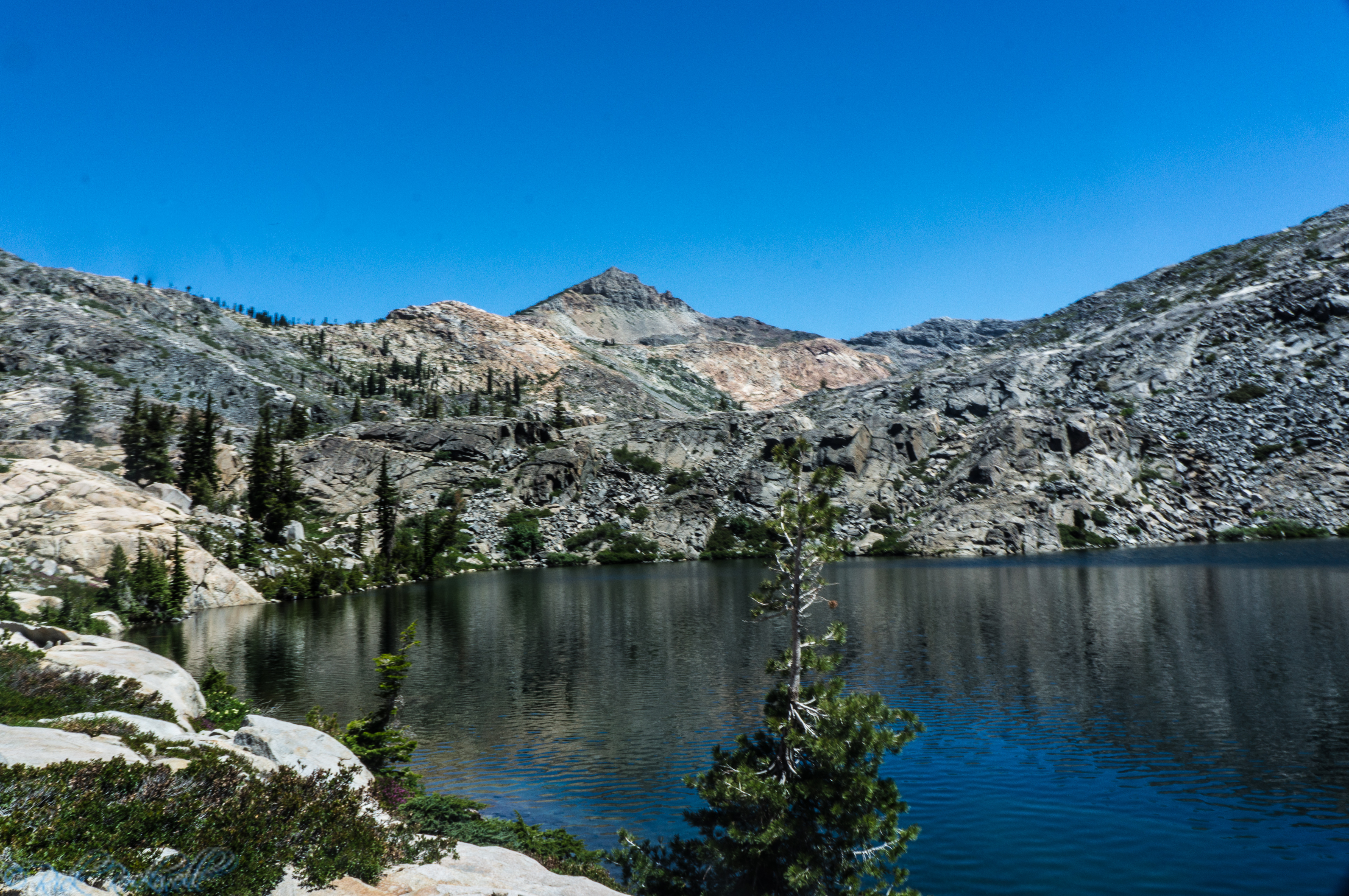
The lake sits beneath Ralston Peak and offers a noticeably different setting from Tamarack. Although the two are close enough to visit on the same outing, they do not feel like interchangeable destinations.
Cagwin Lake is another possible extension shown on the Pacific Crest Trail Association route map. Adding it requires more time and increases the day’s overall distance.
Do not let a desire to collect more lakes push the hike beyond your available time or energy. Shoreline wandering, photography, side routes, and granite terrain can add mileage quickly.
Tamarack Lake by itself is already a worthwhile destination.
Best Time to Hike to Tamarack Lake
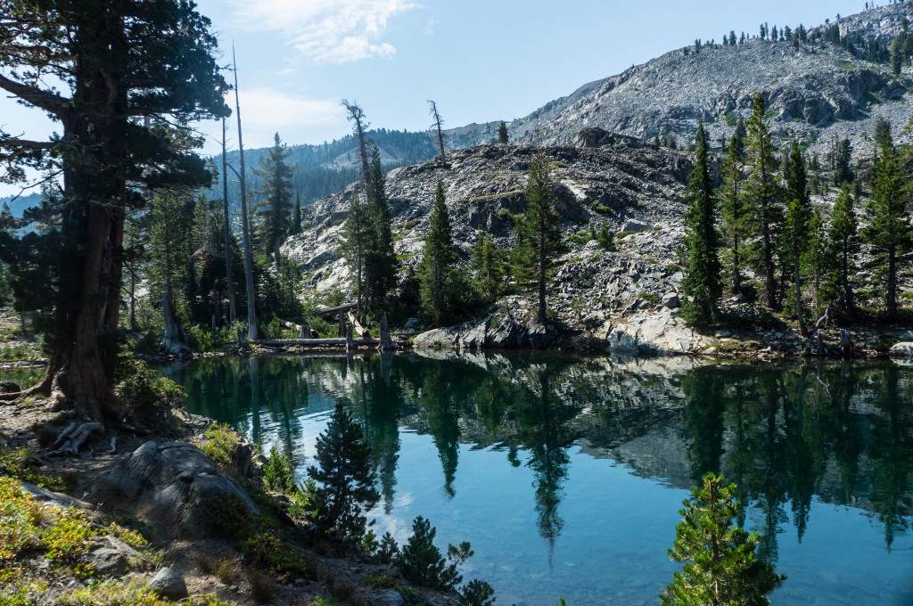
The most practical season for hiking to Tamarack Lake generally runs from summer into early fall, but conditions depend more on snow and weather than on a calendar date.
Early Summer
Early summer may bring lingering snow, wet trails, standing water, and heavy mosquitoes. The landscape can be especially green, but snow may obscure portions of the route depending on the year.
Mid to Late Summer
My visit took place in mid-July. The route was clear, but exposed sections were warm and the mosquitoes around Tamarack were relentless. Starting early helped with both heat and trailhead crowds.
Early Fall
Early fall can bring cooler temperatures and fewer insects. The tradeoffs include shorter daylight hours, colder mornings, and a greater chance of changing mountain weather.
Best Time of Day for Photos
Morning worked especially well during my visit.
The lake was calm enough to reflect Ralston Peak, and I arrived before the area became busy. Wind and clouds can never be predicted perfectly, but an early start also helps with parking and heat.
Tips for Hiking to Tamarack Lake
A few preparations can make the outing safer and more comfortable:
- Start early for better parking and cooler hiking conditions.
- Carry enough water because none is available at the trailhead.
- Bring insect repellent, especially after snowmelt.
- Use sun protection on the exposed climb beyond Echo Lakes.
- Wear sturdy footwear for rocky and uneven terrain.
- Carry reliable navigation for the less-obvious approach to Tamarack.
- Allow for the elevation if you normally hike closer to sea level.
- Confirm permit requirements and current conditions before leaving home.
Permits and Rules for Hiking to Tamarack Lake
Permit requirements for Tamarack Lake depend on whether you are making it a day hike or staying overnight near the lake.
Day Hikes to Tamarack Lake
Most visitors reach Tamarack as a day hike from Echo Lakes. Free day-use permits are generally required during the main summer season when Forest Service self-service permit boxes are available at the trailhead.
Complete the permit before leaving the Echo Lakes area and carry it with you during the hike. Check current Forest Service guidance before your trip because seasonal procedures can change.
Overnight Trips Near Tamarack Lake
If you plan to camp near Tamarack Lake or continue farther into Desolation Wilderness, you need an overnight wilderness permit year-round. Seasonal quotas apply during the busiest months, and your permit must match the destination zone where you plan to camp.
Hard-sided bear canisters are required for overnight trips. Campfires are prohibited, so overnight visitors should plan to use an approved backpacking stove when restrictions allow.
Is Tamarack Lake Worth Visiting?
Yes, especially for hikers who want a substantial Desolation Wilderness day hike without committing to a longer trip toward Lake Aloha.
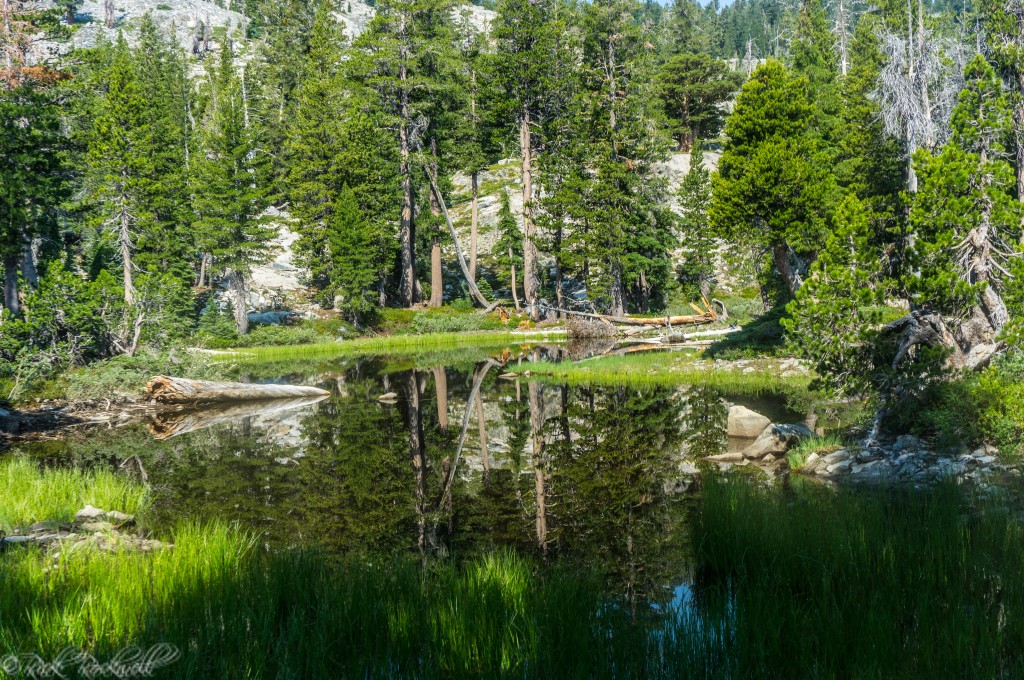
On a calm morning, Tamarack Lake can turn into a mirror for Ralston Peak. That was the scene waiting for me when I reached the lake during an early July-morning hike from Echo Lakes.
The water was still, the mountain stretched across its surface, and for a while, I had one of Desolation Wilderness’s most scenic small lakes mostly to myself. The mosquitoes had other plans for my peaceful morning. So, bring the bug spray.
The wildlife-restoration work gives the lake another layer, but my strongest memory remains much simpler: arriving early enough to see the mountain reflected across the surface. It’s not only a wonderful time for taking photos, but to also reflect on your own life.
Give Tamarack enough time to walk the shore, find your own view of Ralston Peak, and enjoy it as the destination rather than another lake to check off a list.
Tamarack Lake FAQ
Where is Tamarack Lake in Desolation Wilderness?
Tamarack Lake is southwest of Lake Tahoe in Desolation Wilderness. The common route begins at the Echo Lakes Trailhead near Echo Summit and follows the Echo Lakes corridor before turning toward Tamarack Lake.
How long is the hike to Tamarack Lake?
The Pacific Crest Trail Association lists the outing at about 7.9 miles round trip with approximately 935 feet of elevation gain. Actual mileage can vary with shoreline exploration and side trips.
Do you need a permit to hike to Tamarack Lake?
A free day-use permit is generally required seasonally when Forest Service self-service permit boxes are installed. Overnight visitors need a separate Desolation Wilderness permit year-round.
Check current Forest Service guidance before your trip because permit procedures can change.
Can you take the Echo Lake boat taxi for the Tamarack Lake hike?
Yes, when the seasonal taxi is operating. Echo Chalet currently lists one-way service at $25 per person with a four-passenger minimum and no fixed schedule. Verify current operations before your trip.
Is Ralston Lake worth adding to the hike?
I think so. Ralston Lake provides a different setting beneath Ralston Peak and pairs naturally with Tamarack for hikers who have enough time and energy for a longer outing.
Sources
Official and Research Sources
U.S. Forest Service — Desolation Wilderness
https://www.fs.usda.gov/r05/eldorado/wilderness/desolation-wilderness
U.S. Forest Service — Desolation Day-Use Permits and Parking
https://www.fs.usda.gov/r05/eldorado/wilderness/desolation-day-use-permits-parking
U.S. Forest Service — Eldorado National Forest FAQs
https://www.fs.usda.gov/r05/eldorado/about-area/faqs
U.S. Forest Service — Echo Lakes Trailhead
https://www.fs.usda.gov/r05/laketahoebasin/recreation/echo-lakes-trailhead-pct-access
Echo Chalet — Current Boat Taxi Information
https://www.echochalet.com/
U.S. Forest Service — Desolation Wilderness Permits
https://www.fs.usda.gov/r05/eldorado/permits/desolation-wilderness-permits
U.S. Forest Service — Desolation Wilderness Food and Refuse Storage Restriction
https://www.fs.usda.gov/r05/eldorado/alerts/desolation-wilderness-food-and-refuse-storage-restriction
U.S. Forest Service — Sierra Nevada Yellow-Legged Frog Habitat Restoration Project
https://www.fs.usda.gov/r05/laketahoebasin/projects/24336
U.S. Forest Service — California Recreation Residence Historic Context Study
https://www.fs.usda.gov/media/131750
Pacific Crest Trail Association — Echo Lake to Tamarack Lake or Lake Aloha
https://explore.pcta.org/trips/echo-lake-to-tamarack-lake-or-lake-aloha
Desolation Wilderness Volunteers — Trailhead Mileages
https://www.desowv.org/information/trailhead-mileages
UC Agriculture and Natural Resources — Lodgepole Pine
https://ucanr.edu/site/forest-research-and-outreach/lodgepole-pine-pinus-contorta
Maura Santora, Eldorado National Forest Aquatic Biologist — Sierra Nevada Yellow-Legged Frog in Desolation Wilderness, May 18, 2023
https://desowv.org/images/SNYLF%20in%20Deso%202023_PresentationPDF.pdf
Current Conditions and Alerts
Lake Tahoe Basin Management Unit — Alerts
https://www.fs.usda.gov/r05/laketahoebasin/alerts
Eldorado National Forest — Alerts
https://www.fs.usda.gov/r05/eldorado/alerts
Newspaper and Archive Sources
Auburn Daily Journal, June 18, 1915, page 1
https://cdnc.ucr.edu/?a=d&d=ADJ19150618.1.1
Sacramento Daily Union, “Social Events Last Week,” September 1, 1918
https://cdnc.ucr.edu/?a=d&d=SDU19180901.2.69
Original Reporting
Calexplornia — firsthand hiking notes and photography from the Echo Lakes, Tamarack Lake, and Ralston Lake trip.