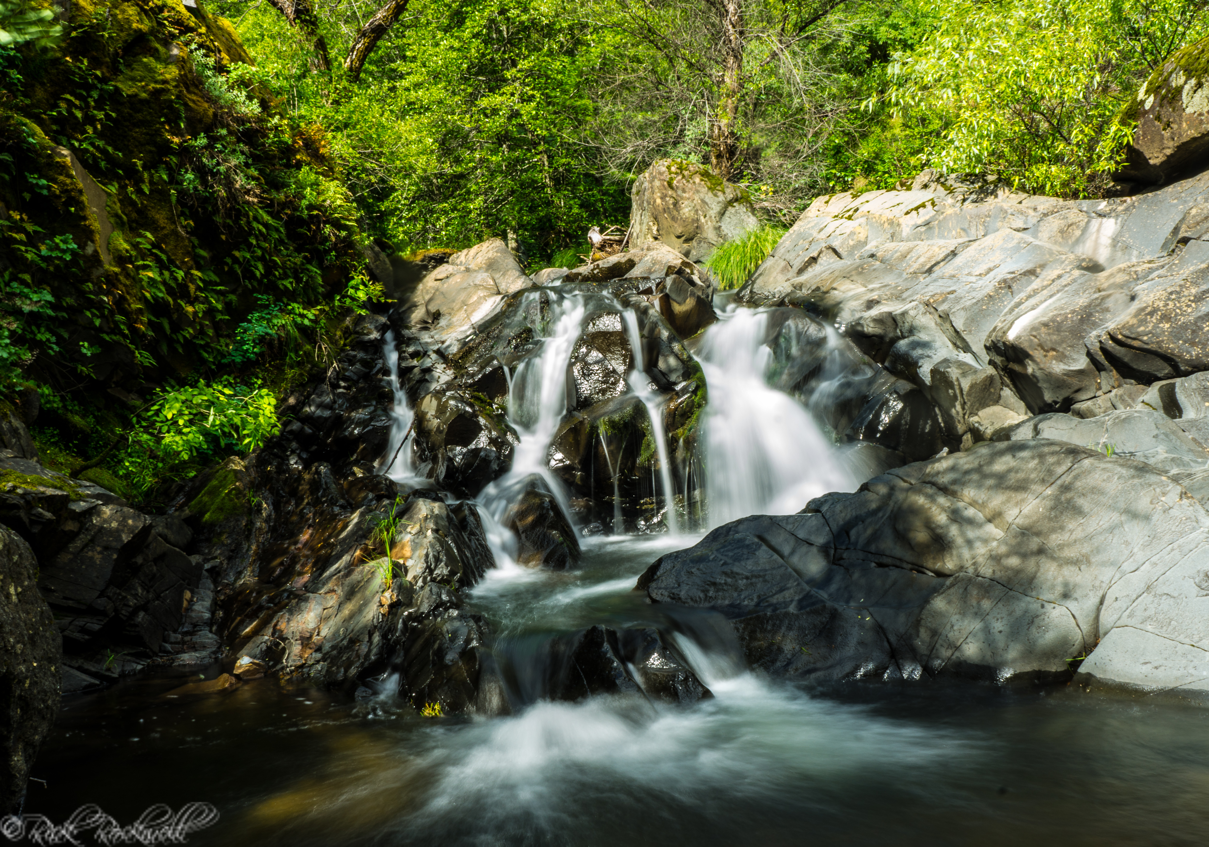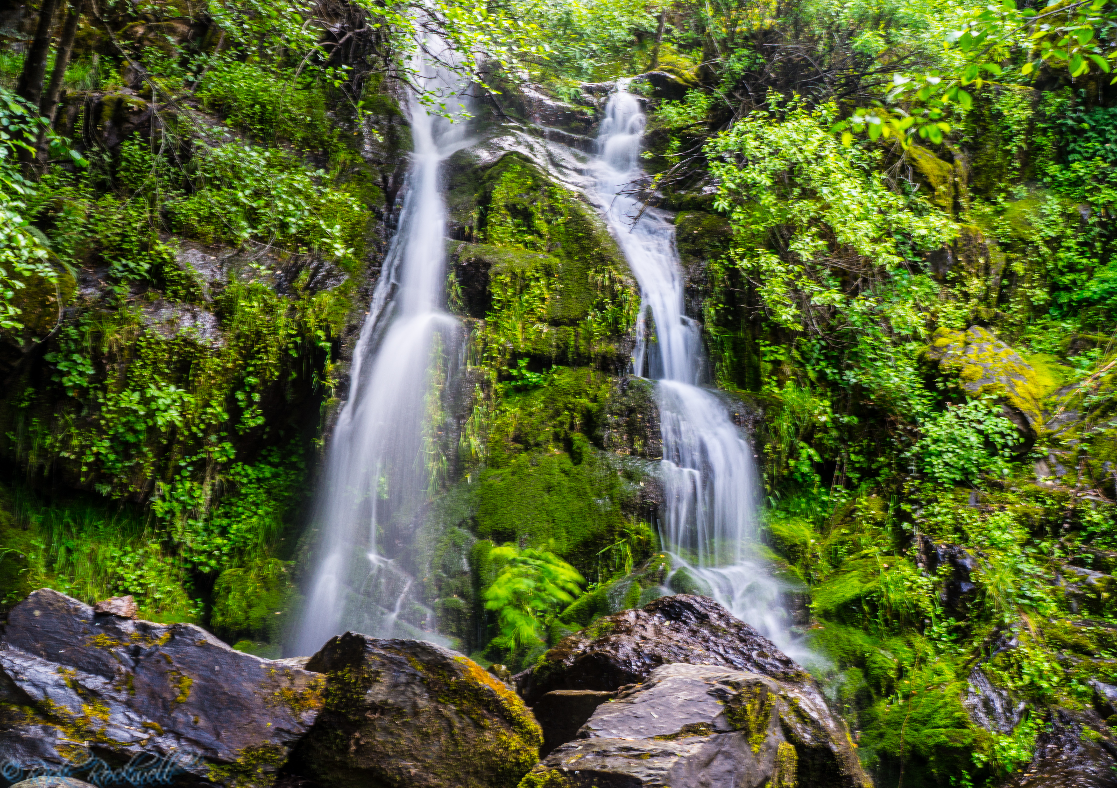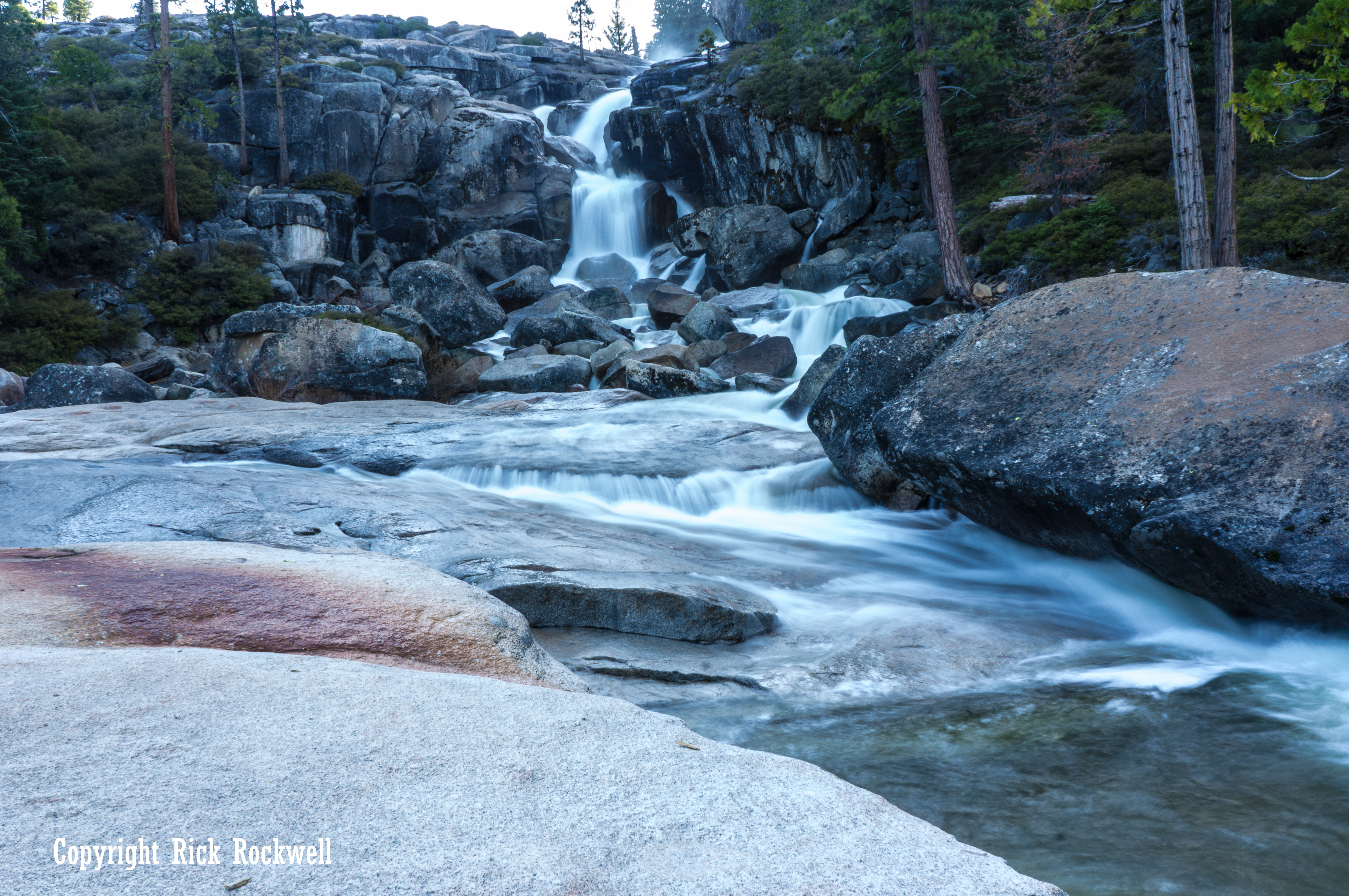
Lower portion of Bassi Falls

What to Expect on the Hike To Bassi Falls
- Short hike: roughly 1 mile round trip, if parked at the trailhead.
- Long hike: 4.1 miles round trip if parked off of Ice House Road
- Lightly defined sections of trail in various places
- Mix of dirt path and exposed granite
- Open views as you approach the falls
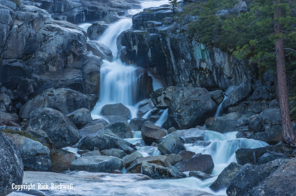
Once at the trailhead, it’s only a 1/2 mile long trail and the waterfall can be heard immediately upon exiting the car. The trail is clearly marked out in the beginning. Unfortunately, over the last 1/4 mile, there are some sections that are hard to see the trail. Do your best to stay on the trail and head in the direction that the noise of the waterfall is coming from. It should only take about 20 to 30 minutes maximum to get to the base of the waterfall.

Portion of the trail where it disappears
Hiking To The Top Of Bassi Falls And Beyond
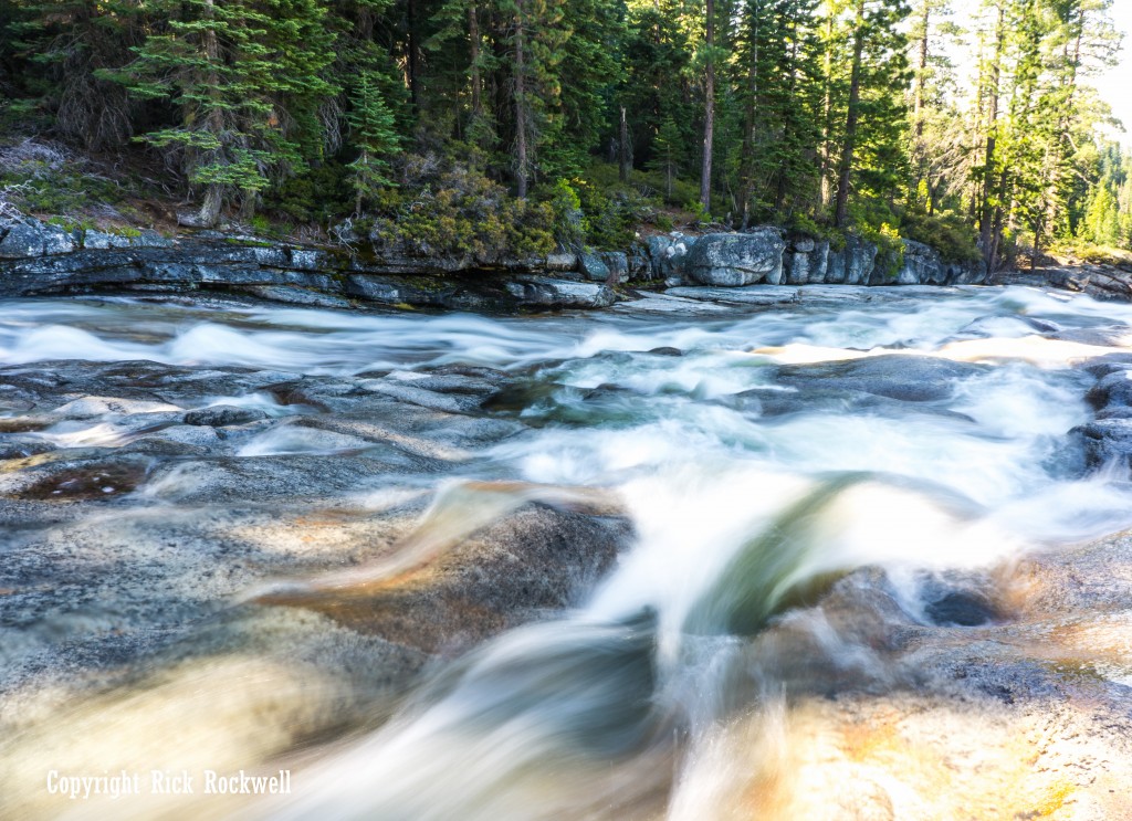
One of the benefits of visiting Bassi Falls during its peak flow is that the stream up top adds to the overall adventure. In the summer, this stream is virtually dried up. However, in the spring, and on my visit, it’s a flowing river that had some dangerous spots where the water was very aggressive. It’s highly advised not to swim in the water during peak flow.
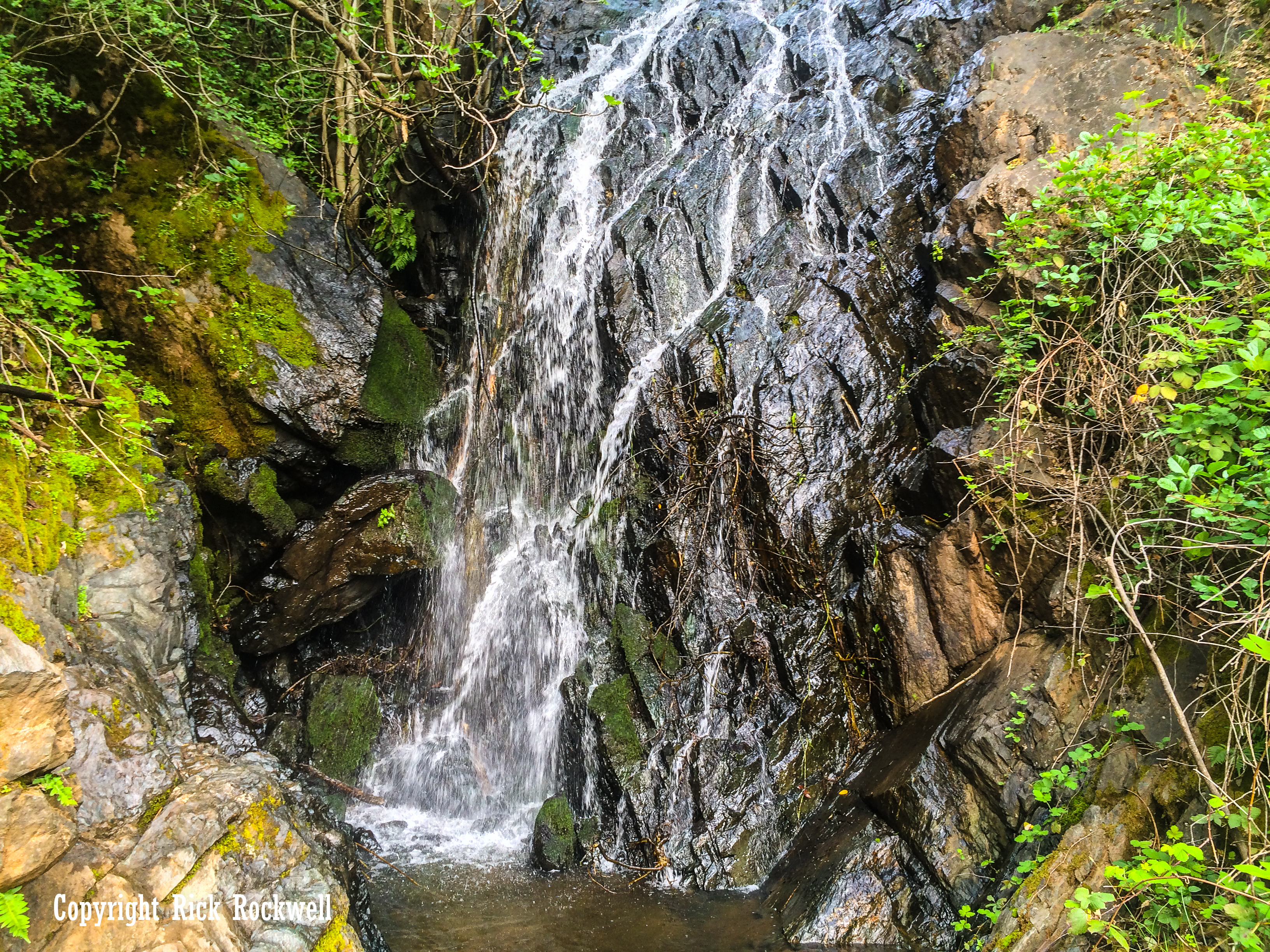
If you hike to the top of the falls and up the stream, you can extend your adventure another few miles and enjoy the landscape, rock climbing and boulder hopping. Additionally, there’s a spot up the creek more where a small waterfall can be seen during peak flow.
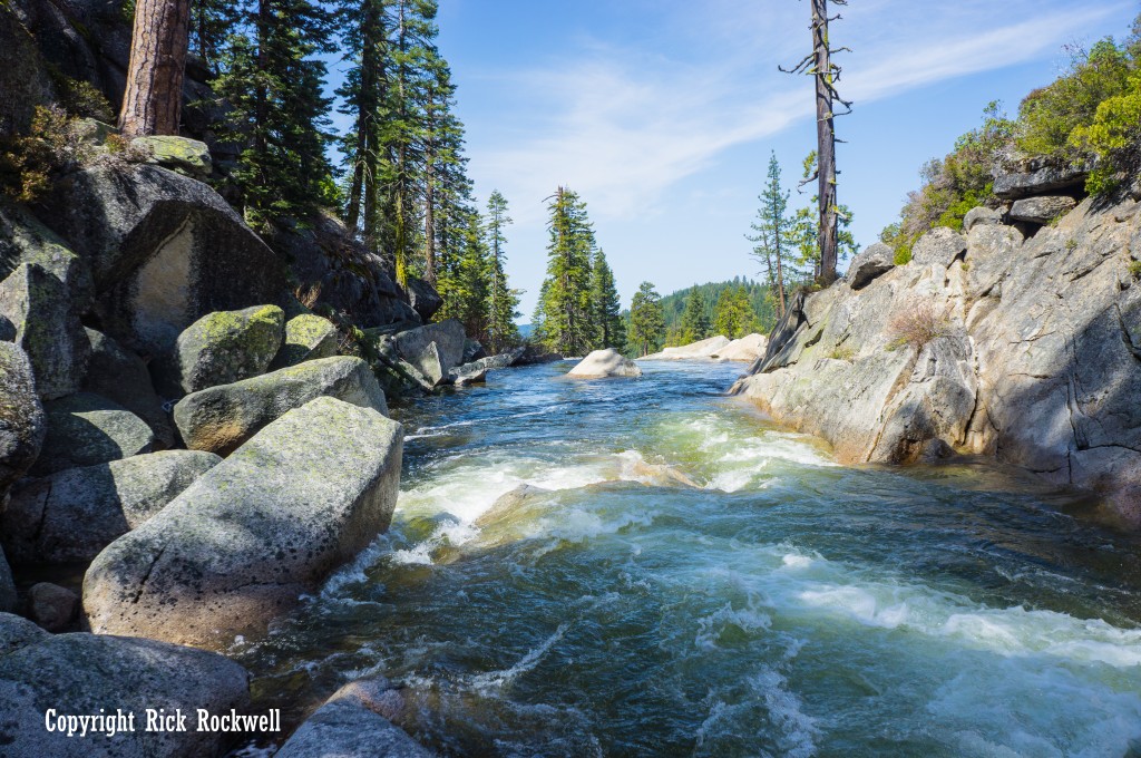
Up stream from top of Bassi Falls