Codfish Falls Trailhead: Parking, Amenities and Fees
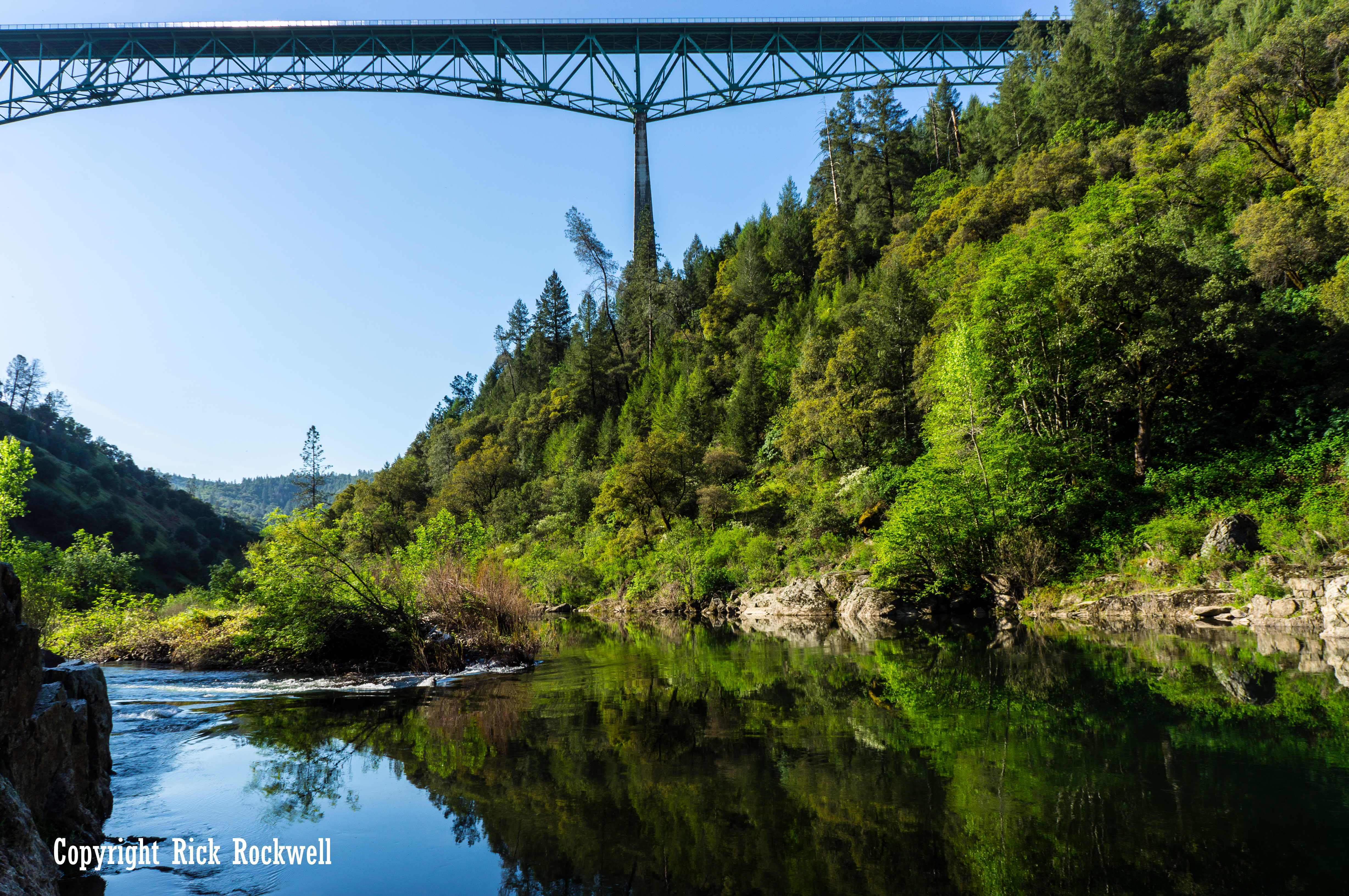
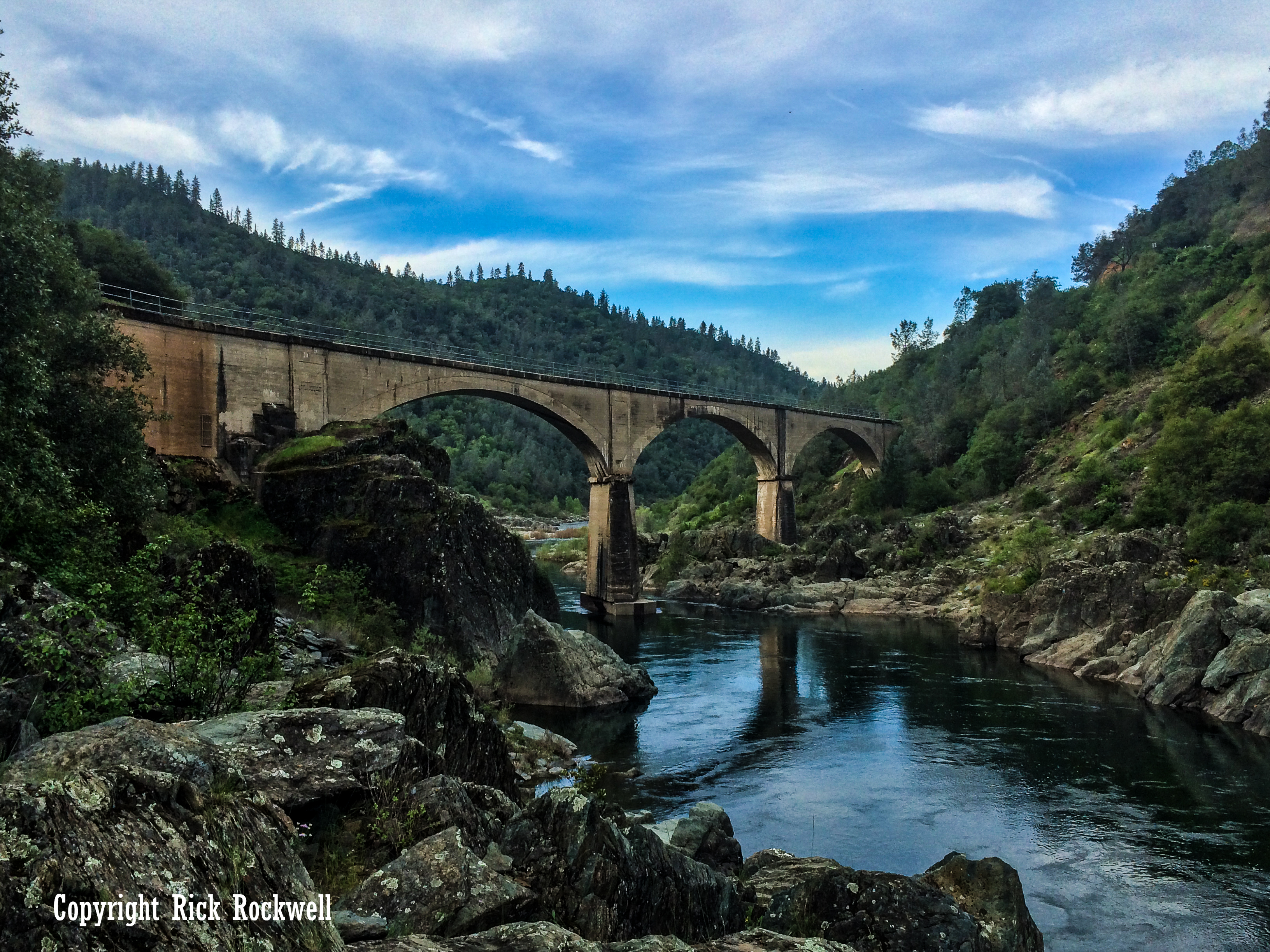
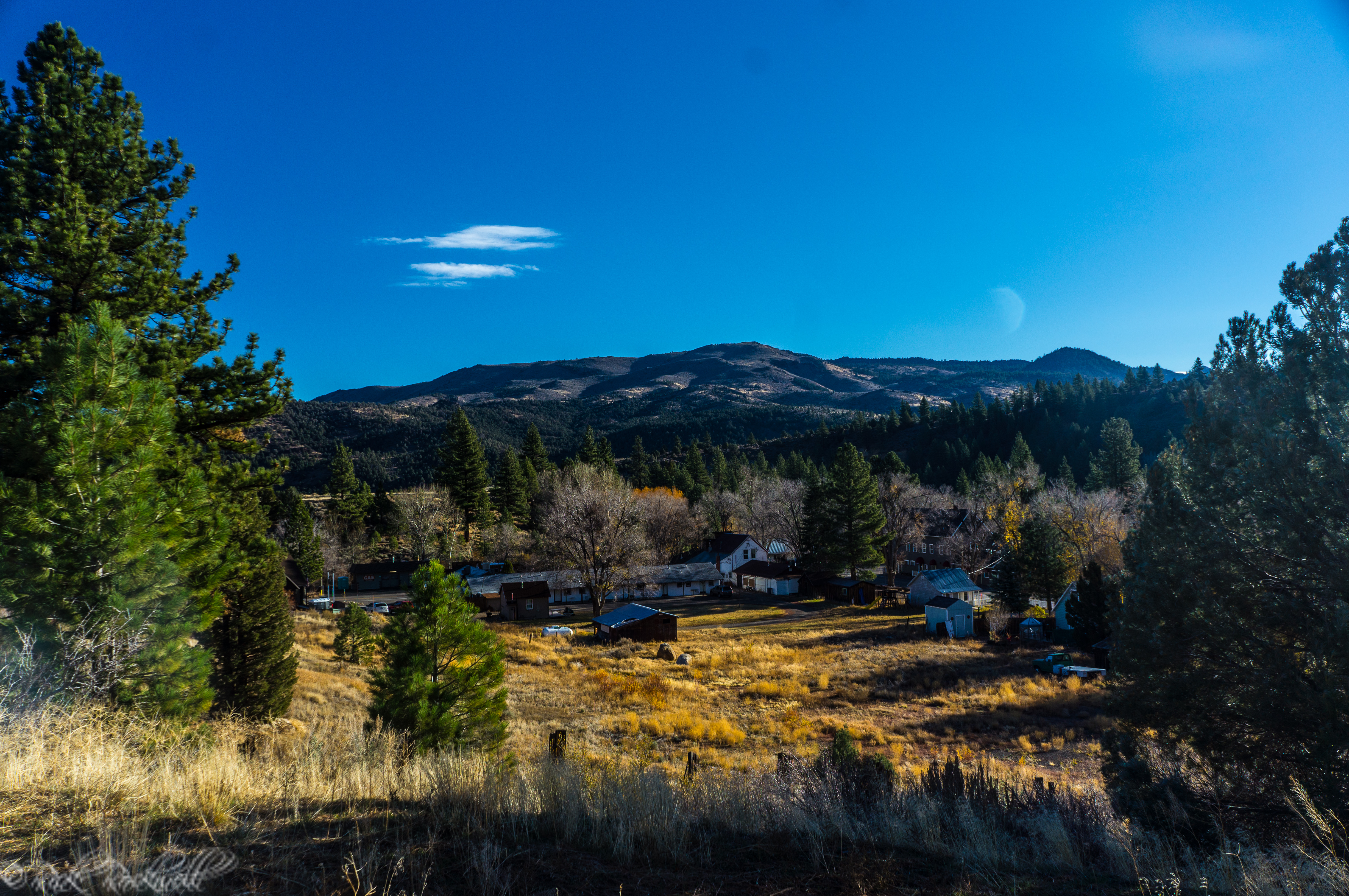
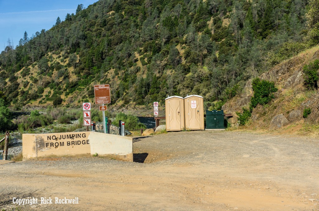
The trailhead is at the end of Ponderosa Way. You must park on the side of the road before the bridge. Also, parking is very limited and will be harder during peak season and weekends. Do not block the road, bridge or restroom area.
The trailhead requires a $10 day-use fee per vehicle. There are port-a-potties available, as well.
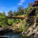
Codfish Falls Trailhead
Codfish Falls Trail Description
Codfish Falls Trail begins near Ponderosa Bridge and quickly settles into a scenic walk along the North Fork American River. The first stretch is mostly gentle, with views of the river, a few pockets of shade, and a couple of side paths that lead closer to the water.
It feels more like a quiet river-canyon walk than a steep climb, which makes it one of the more comfortable waterfall hikes in Auburn State Recreation Area.
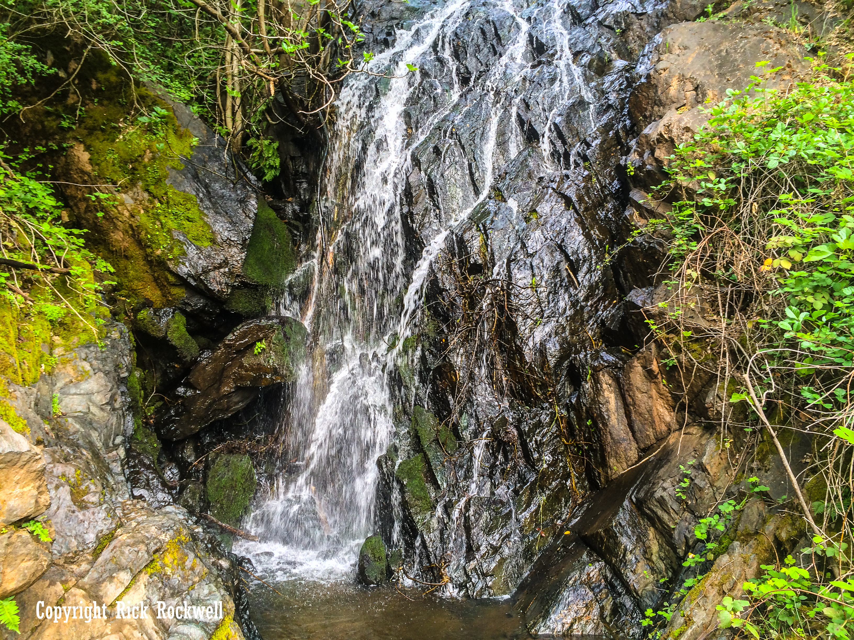
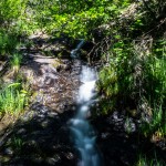
After about the first mile, the trail turns away from the river and follows Codfish Creek toward the falls. This final section gets a little narrower, rockier, and more enclosed, especially as you get closer to the waterfall. Once you get closer to the creek water, the waterfall will be on your right side.
In spring, you can hear Codfish Falls before you see it, with the creek pouring down the canyon after winter rain and snowmelt.
The trail itself, is well marked with a few signs at the beginning and along the path.
Best Time to Hike Codfish Falls Trail
Spring is the best time to hike the trail due to waterfall flow, green hillsides, wildflowers, and cooler hiking weather.
The summer will be hot, exposed and dry. The waterfall itself is significantly less than the spring. Additionally, the mornings are the best times to go during the summer as the temperatures can get to triple digits. However, this is also a good time to go swimming in the river by the bridge.
Fall season is good for cooler temperatures, but the waterfall may be low or dry, which defeats the purpose of hiking this trail.
The winter can also provide a better flow, depending on snowmelt and rain, but the road conditions will be more difficult.
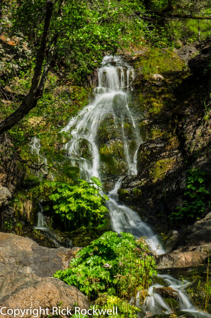
Codfish Falls
Is Codfish Falls Trail Family Friendly?
Yes, the trail is family friend with an easy rating and a 3.4-mile roundtrip distance. However, it should be noted that there are some narrow sections with steep drop-offs toward the river. So, this is not a wide path on level grounds.
Are Dogs Allowed on Codfish Falls Trail?
Yes, leashed dogs are allowed in most parts of the Auburn State Recreation Area except at Lake Clementine. In general, State Parks state that dogs must be on a leash that’s no longer than six feet.
Codfish Falls Trail: Wildlife, Wildflowers, and Scenery
Codfish Falls Trail feels especially alive in late winter and spring, when the North Fork American River canyon turns green and the route sees more color from seasonal wildflowers. As the trail follows the river and then bends toward Codfish Creek, the scenery shifts between open canyon views, shaded woodland, and damp creekside pockets where butterflies may gather near the falls.
The plant life also gives the hike a richer foothill feel, with oaks, manzanita, madrone, ponderosa pine, gray pine, and Douglas fir all adding texture along the route.
The river corridor is also a good place to slow down and watch for wildlife. Canyon Keepers notes that hikers may see dippers, also known as water ouzels, along the river, as well as merganser ducks moving through the current. Just keep an eye out for poison oak, especially in brushier sections and along narrower parts of the trail.
Gold Mining History Along the North Fork American River
Codfish Falls Trail may feel like a quiet canyon hike today, but this part of the North Fork American River sits in the heart of California Gold Country. Auburn State Recreation Area covers long stretches of the North and Middle Forks of the American River, where mining spread after the 1848 gold discovery at Coloma.
Along this trail, hikers can still see dredge tailings on the opposite side of the river. It’s a reminder of the Gold Rush ambition that spawned thousands of miners to dredge the North Fork American River.
Preservation of Codfish Falls
In 1993, the Placer Land Trust, along with Protect American River Canyons (PARC), purchased 30 acres along the North Fork of the American River just south of Weimar. This acreage became known as the Codfish Falls Trail Preserve which contains a segment of the trail and a wonderful region filled with numerous plant species and wildlife.
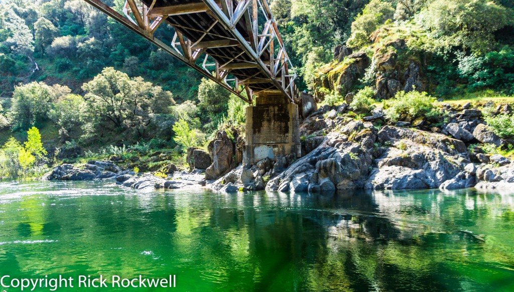
Underneath Ponderosa Way Bridge