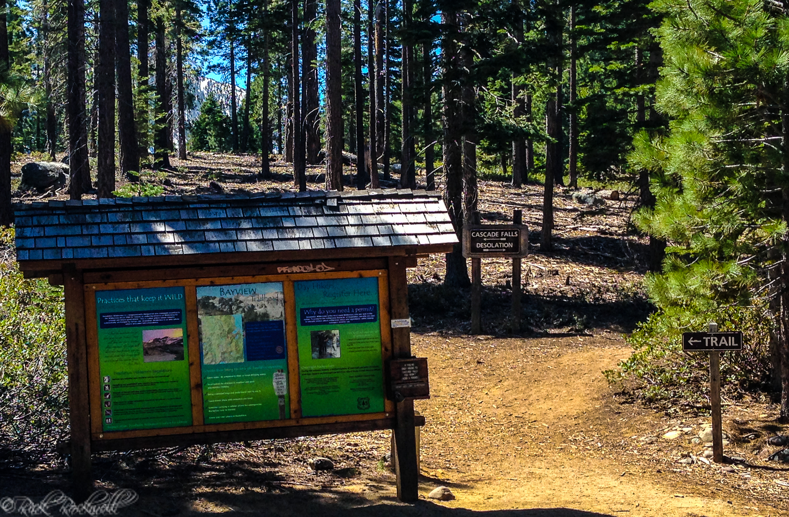

History of the Angora Lookout
From 1910-1914, the US Forest Service in California underwent dramatic changes. Coert DuBois was the man responsible for these changes as his disgust for the previous administration’s ineptness and his dedication to fire prevention led to a massive overhaul of forestry policies and practices.
Additionally, DuBois aided in the 1911 Congressional passing of “Weeks Law” and also helped motivate California’s State Legislature to appropriate money for fire prevention in 1919. The first state funded lookout was built in 1922, according to CalFire.
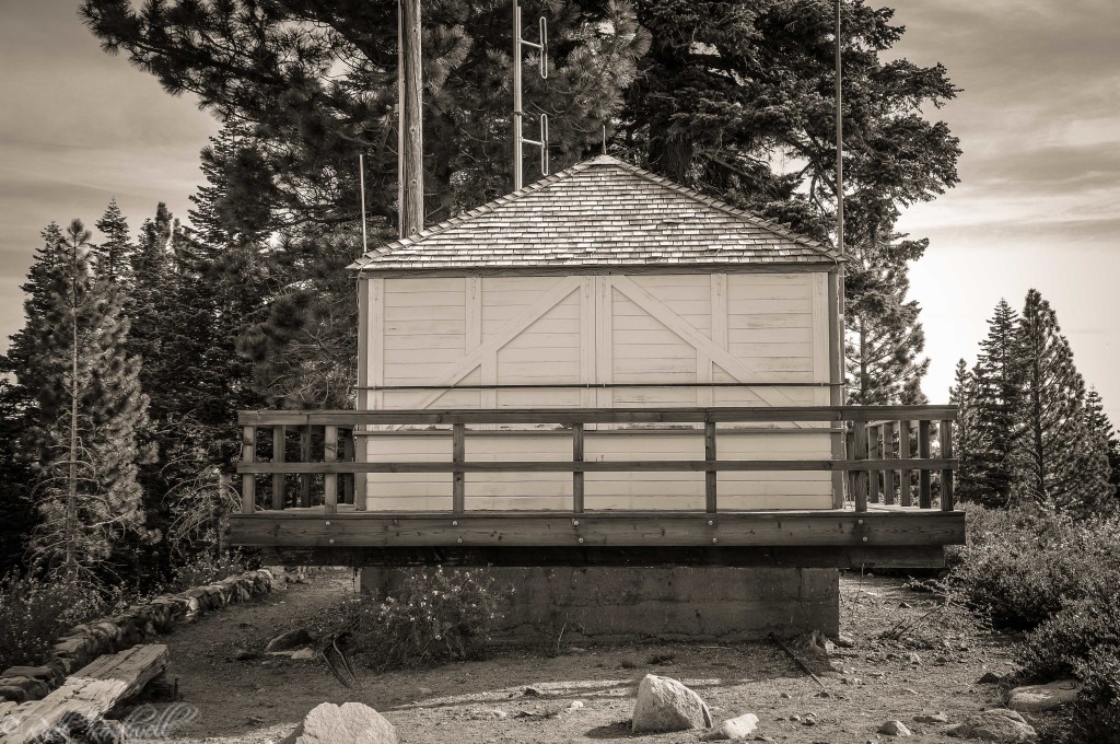
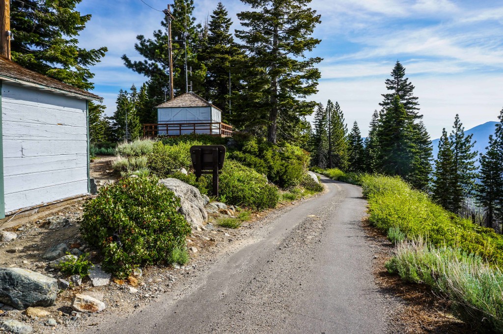
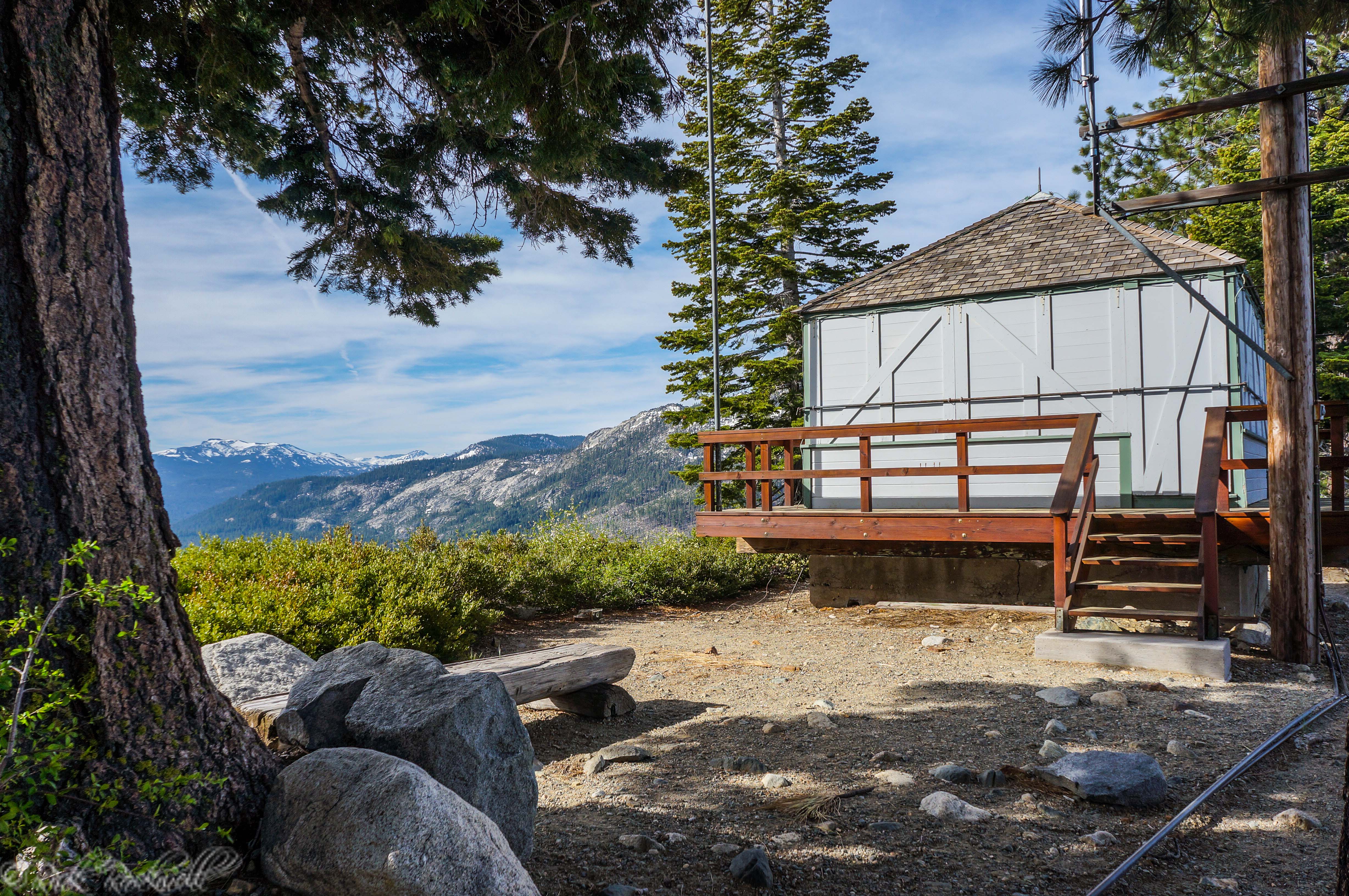
Two years later, the Angora Lookout was built on Angora Ridge in 1924. Shortly after, construction began on Angora Ridge Road, which wasn’t completed until 1929.
According to one source, the construction of the road took nearly 5 years to complete because “It was all done by hand — a pick and shovel and crowbar, a very small amount of dynamite and a very great amount of sweat.”
The lookout was a Dubois-inspired structure that some think was built in the mold of a dwelling 1D, which Dubois included in a 1917 Improvement Circular. These 1D’s were believed to cost about $112 in labor plus materials, according to Foresthistory.org.
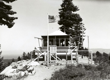
Angora Fire Lookout in 1941 Source: National Archives