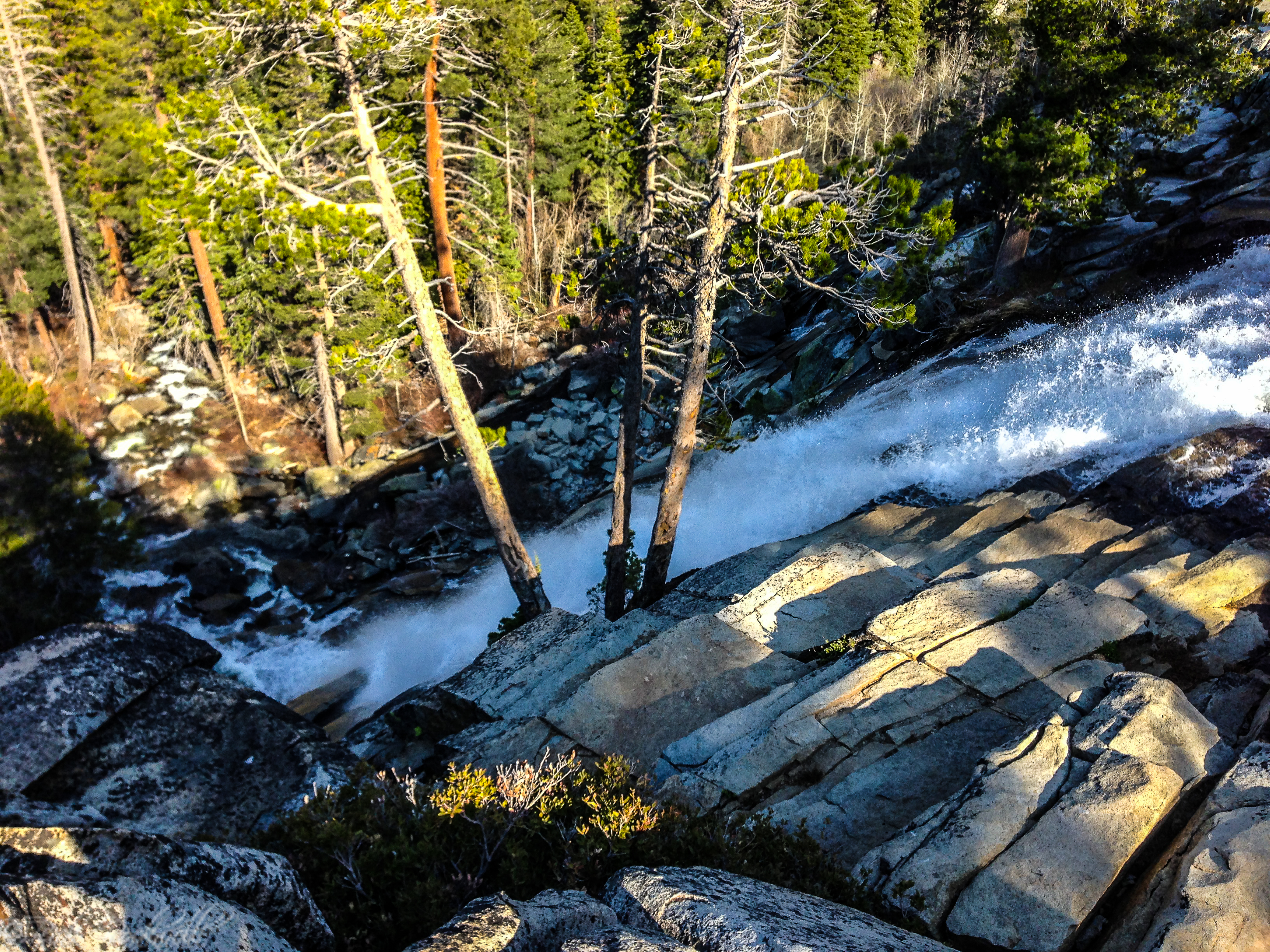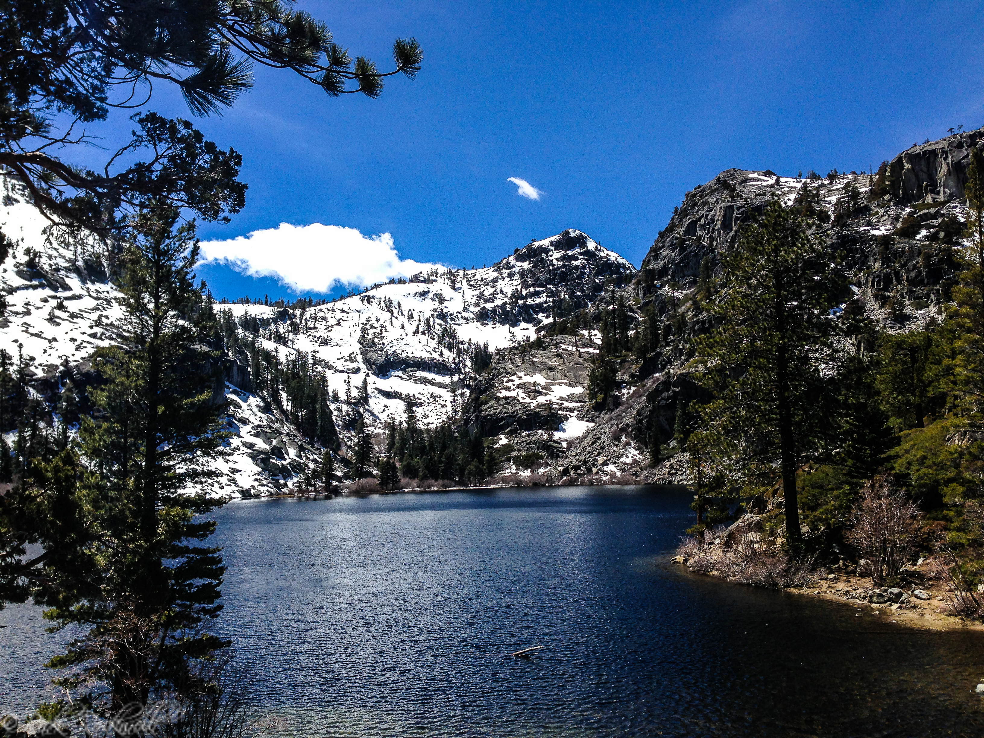
What to Expect on the Hike
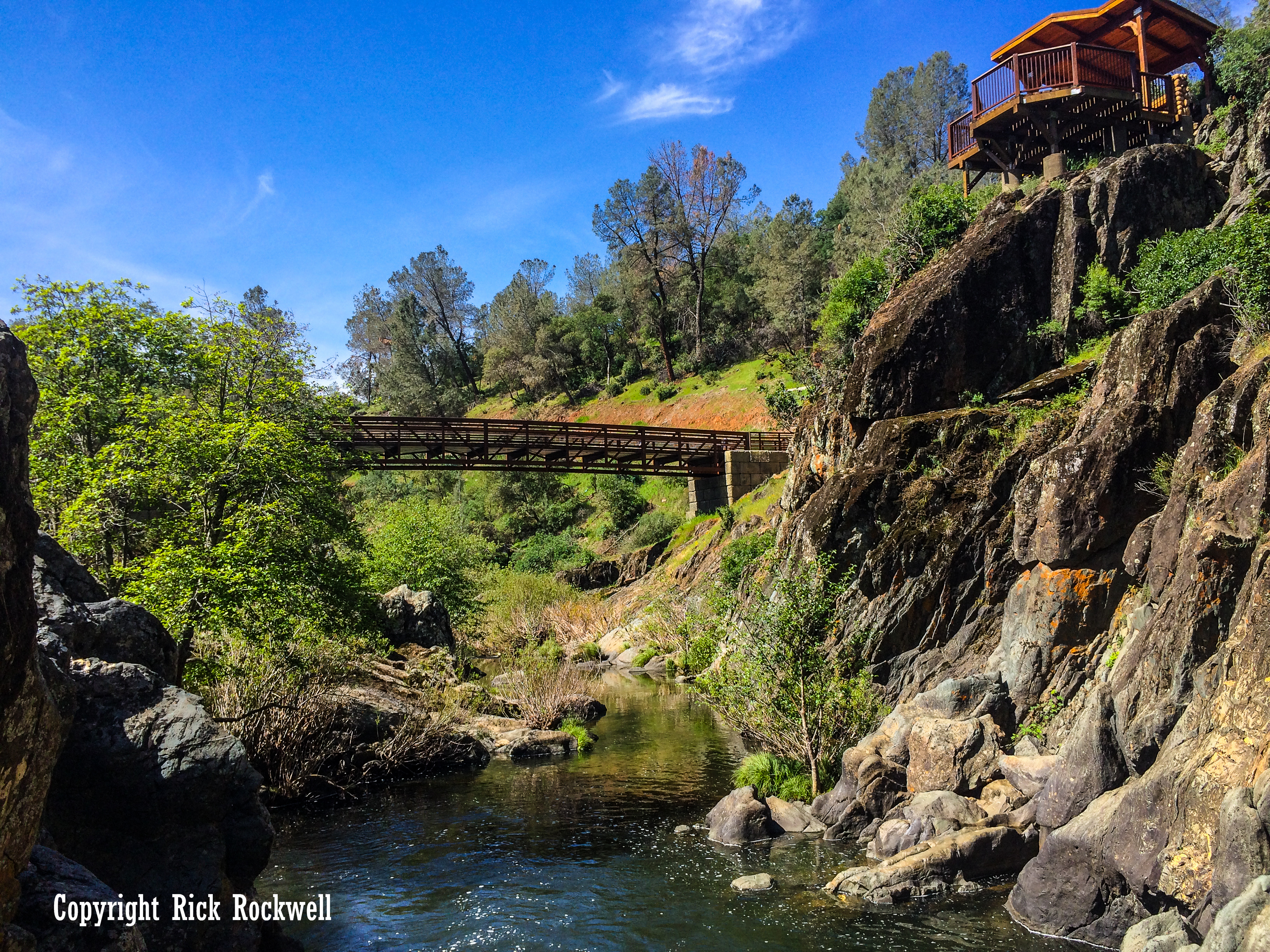
The route follows an old paved forest road uphill from the gate. Early on, you begin to get views of Crystal Bay, and as you gain elevation, the scenery opens up more and more. After passing a water tower, a split appears where a narrower interpretive trail branches off from the road. Both options lead toward the lookout area.
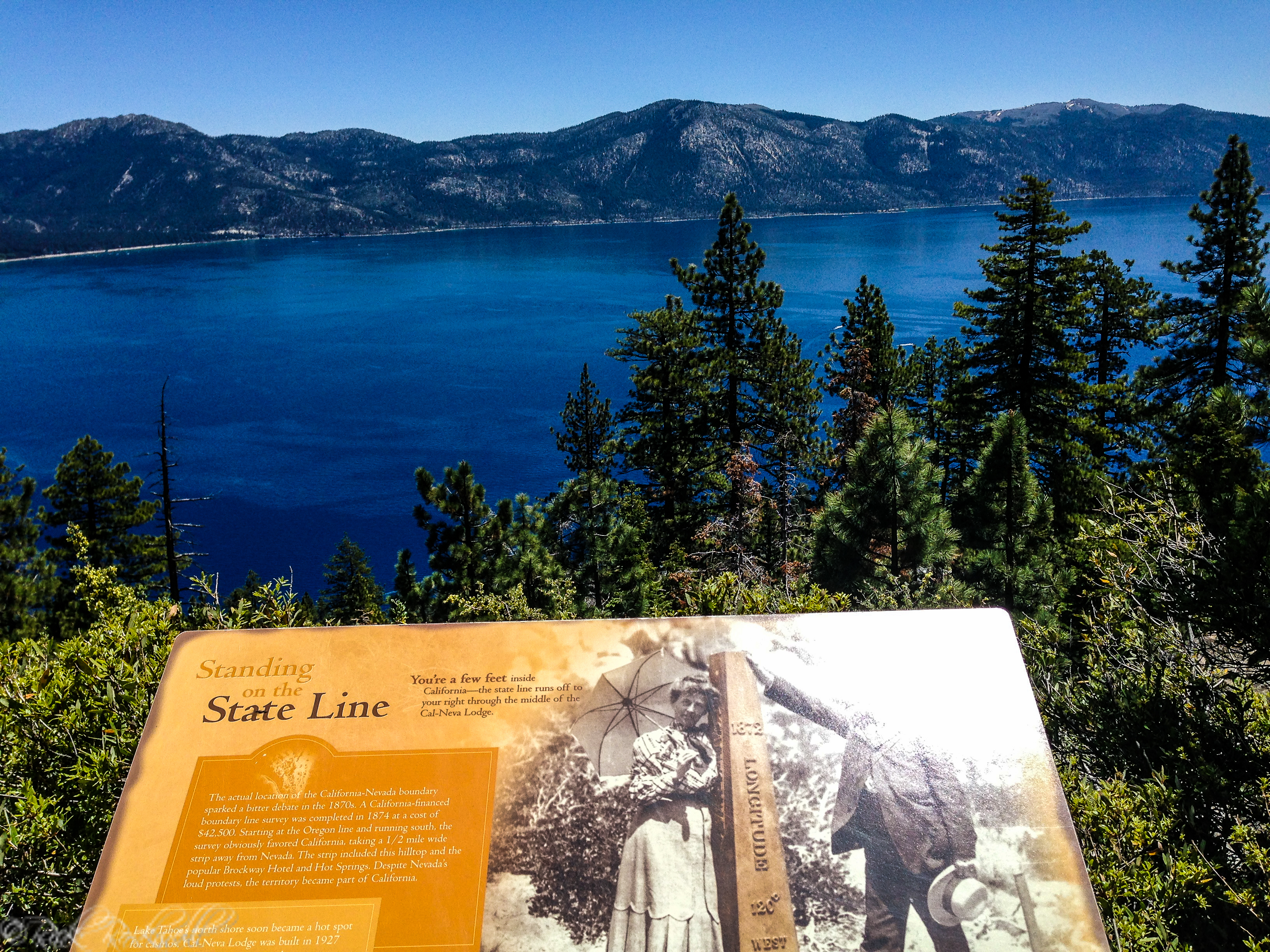
Along the way, interpretive placards explain the history of the area, and there is also a carved wooden bench where hikers can stop and take in the views. A placard marks the actual Nevada-California state line, adding a fun detail that makes the short hike feel a little more memorable.
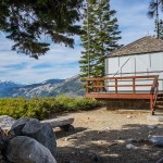
At the top, visitors can use free telescopes and explore a short self-guided nature trail that explains North Shore history. Those details help the lookout feel like more than just a quick photo stop.
Views From Stateline Lookout
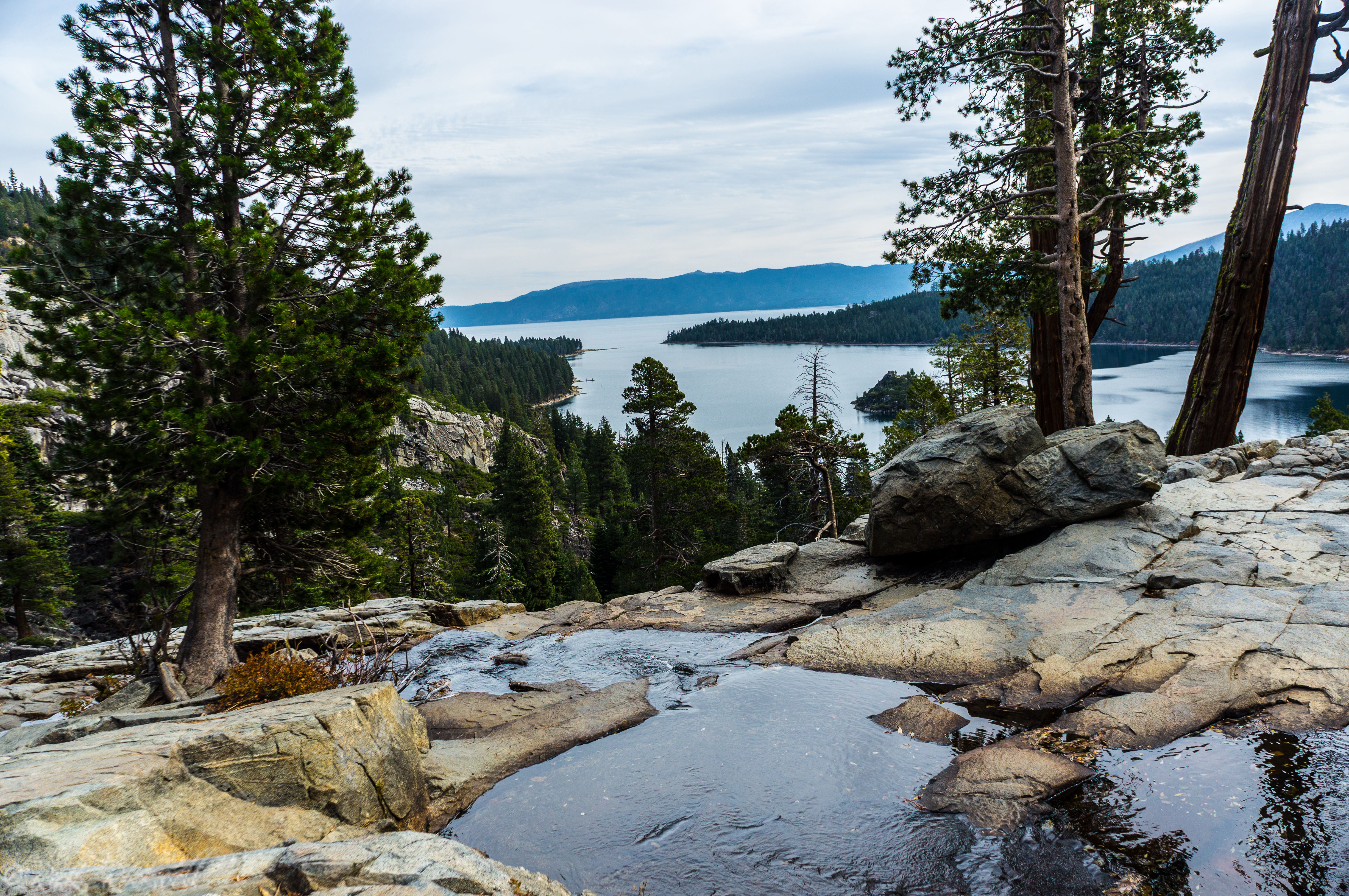
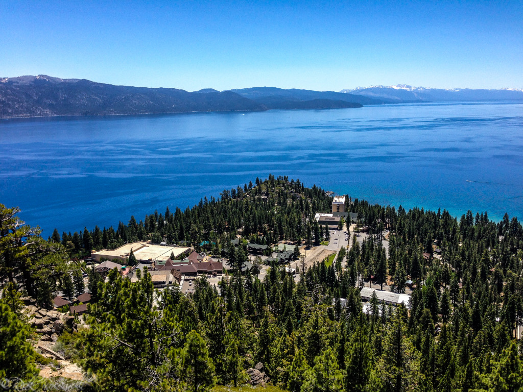
The best reason to do Stateline Lookout Trail is the view. The lookout offers some of the best views in North Lake Tahoe, with sightlines over Crystal Bay, Stateline Point, Agate Bay, and Kings Beach.
One especially interesting view from the trail is toward Stateline Point and the Cal Neva property, long associated with Frank Sinatra, Tahoe celebrity lore and a California urban legend or two as some believe that location is a notoriously haunted place. That gives the stop a little extra character beyond the scenery alone.
The summit area also works well for lingering. Instead of simply tagging a viewpoint and heading back down, visitors can take in the panorama, read interpretive material, and use the picnic tables at the top.
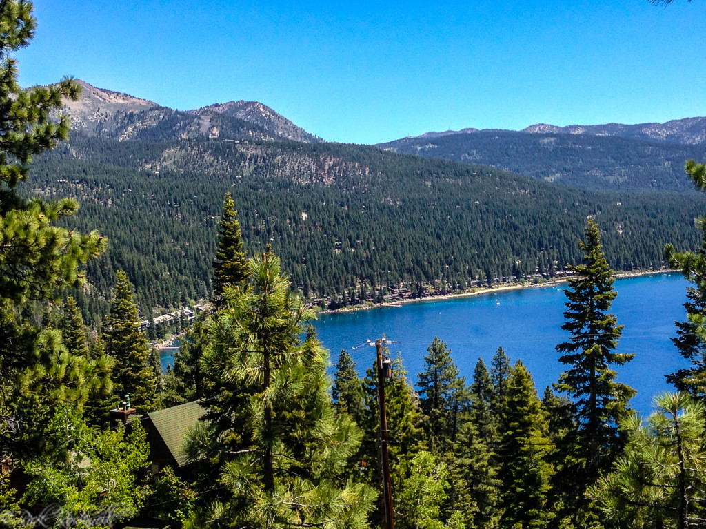
Crystal Bay
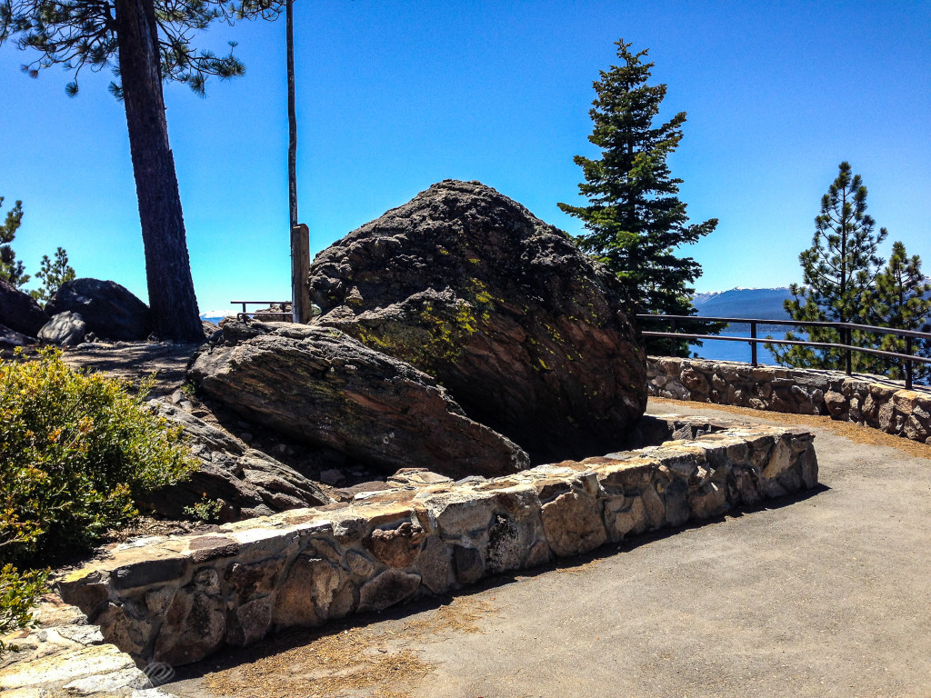
The top of Stateline Lookout Trail
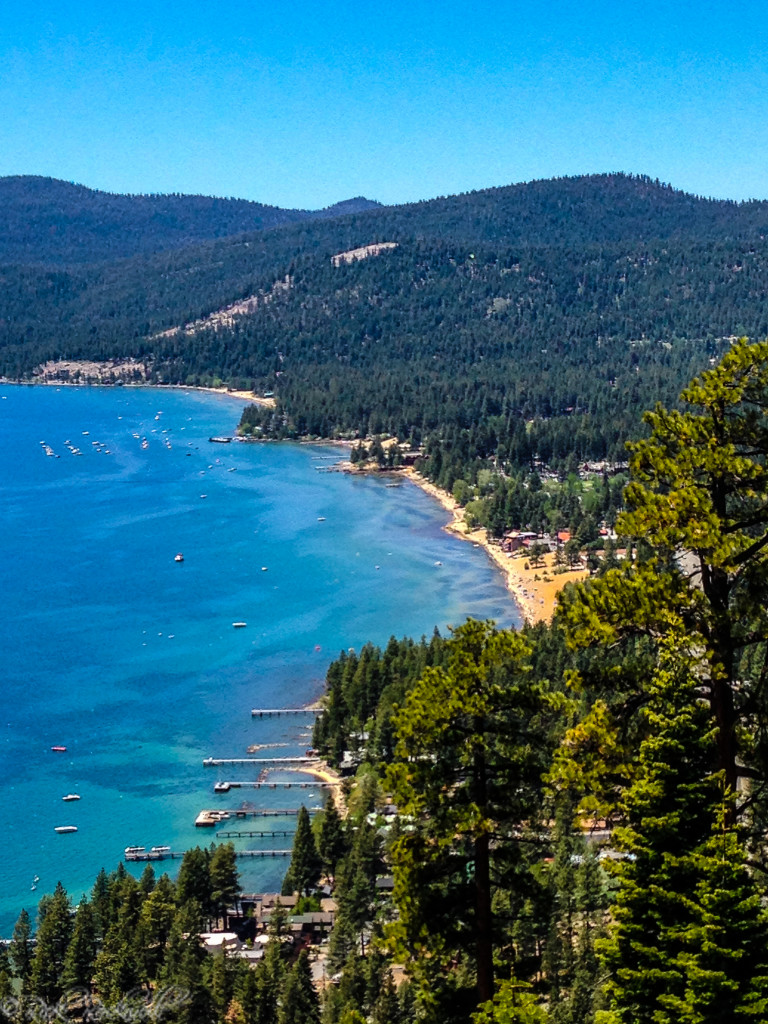
Agate Bay and Kings Beach