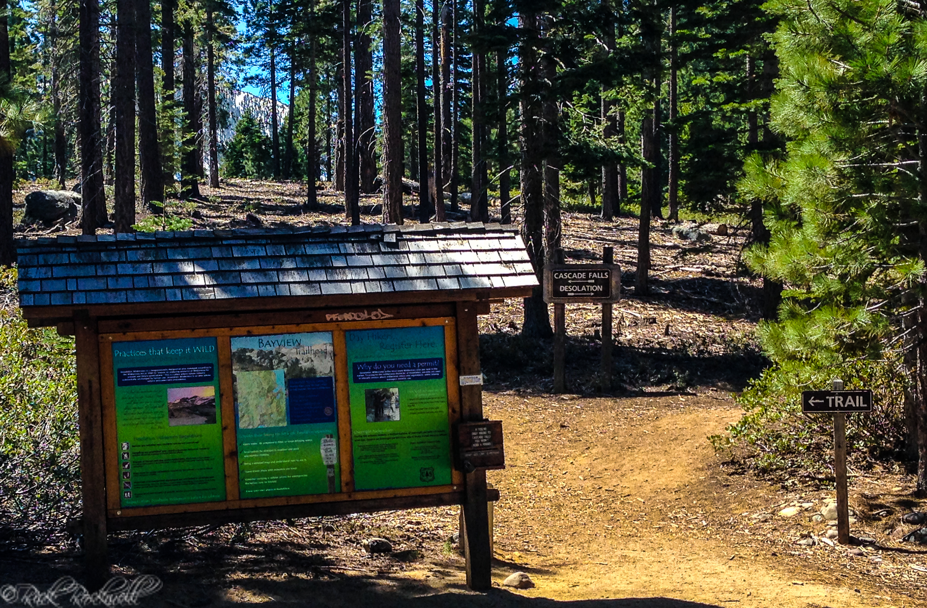
Where the Trail Starts
The hike begins at the Eagle Falls Picnic Area and Trailhead on Highway 89 near Emerald Bay. This is the trailhead hikers use for Upper Eagle Falls, Eagle Lake, and the deeper Desolation Wilderness routes beyond.
It is important not to confuse this trailhead with the Lower Eagle Falls access near the Emerald Bay Visitor Center. They are related experiences, but not the same starting point.
The trailhead is convenient by Tahoe standards, which is part of why it sees so much use. That convenience also means it can get crowded quickly, especially in peak season.
What the Hike to Eagle Lake Is Like
The hike starts with a steady climb. The trail begins gaining elevation almost right away, and that early effort is part of what gives the hike its character. It might be a short distance to Upper Eagle Falls and Eagle Lake, but the trail packs quite a punch.
The first section includes rocky steps, uneven trail, and a steady uphill rhythm. It is scenic, but it asks for attention and effort. This is not a paved interpretive walk. It feels like a real Sierra trail from the start.
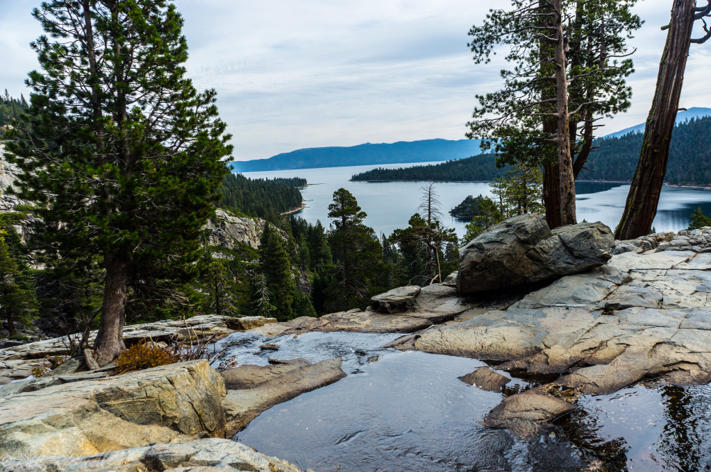
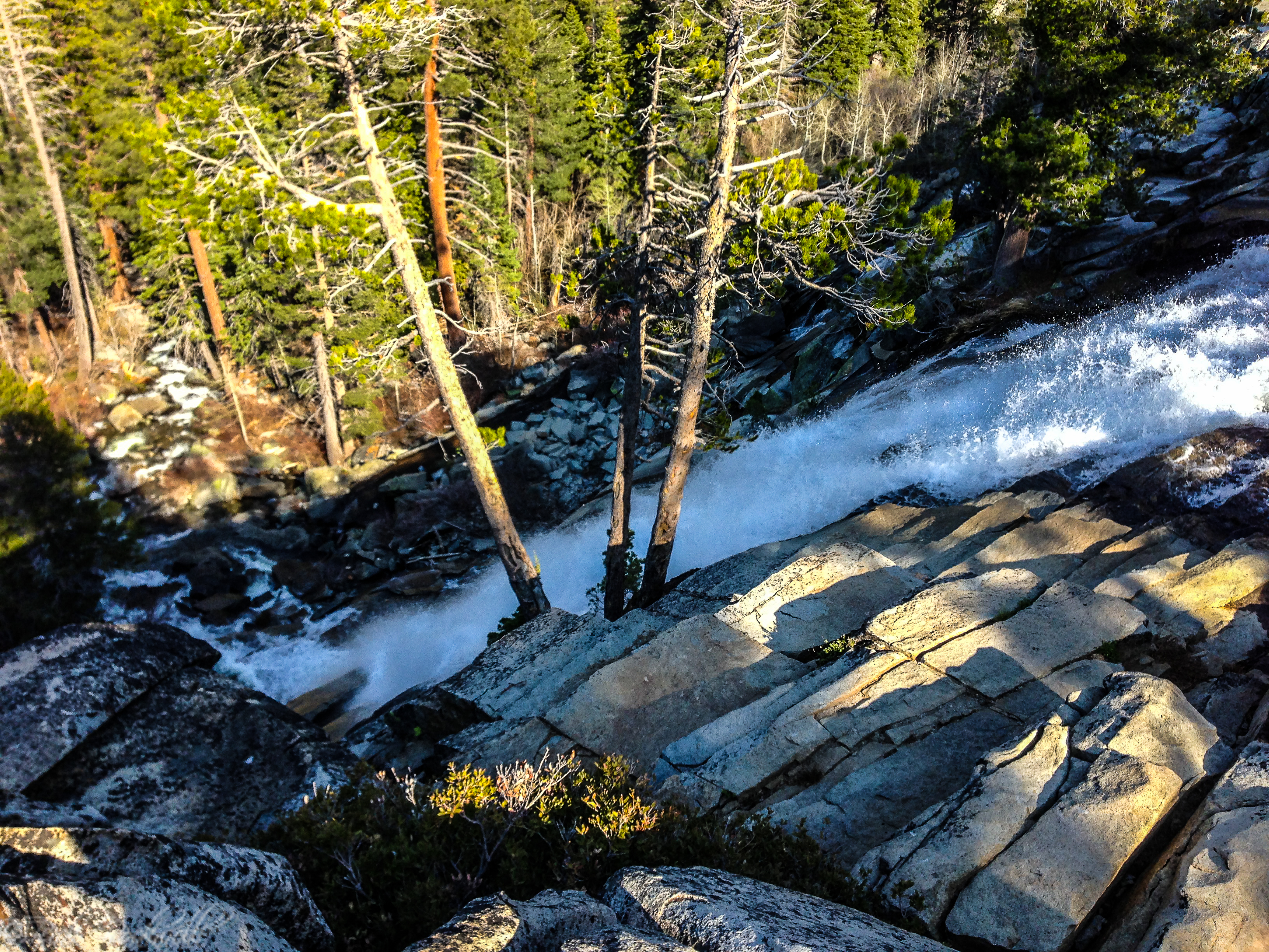
One of the early highlights is the Upper Eagle Falls area along Eagle Creek. This is where many hikers stop for photos and a short break before continuing. The creek moving through granite, along with the sound and energy of the water, gives the trail an early reward that helps balance the initial climb.
I’ve stopped here throughout the various seasons, and each trip provided a different experience both visually and physically.
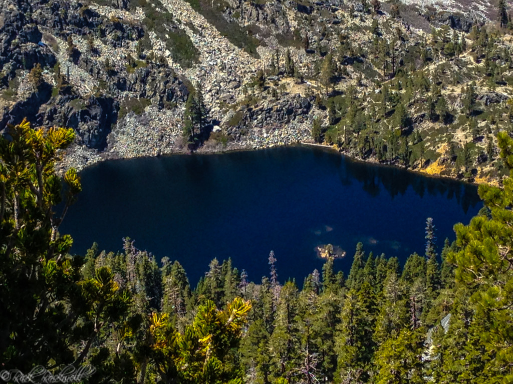
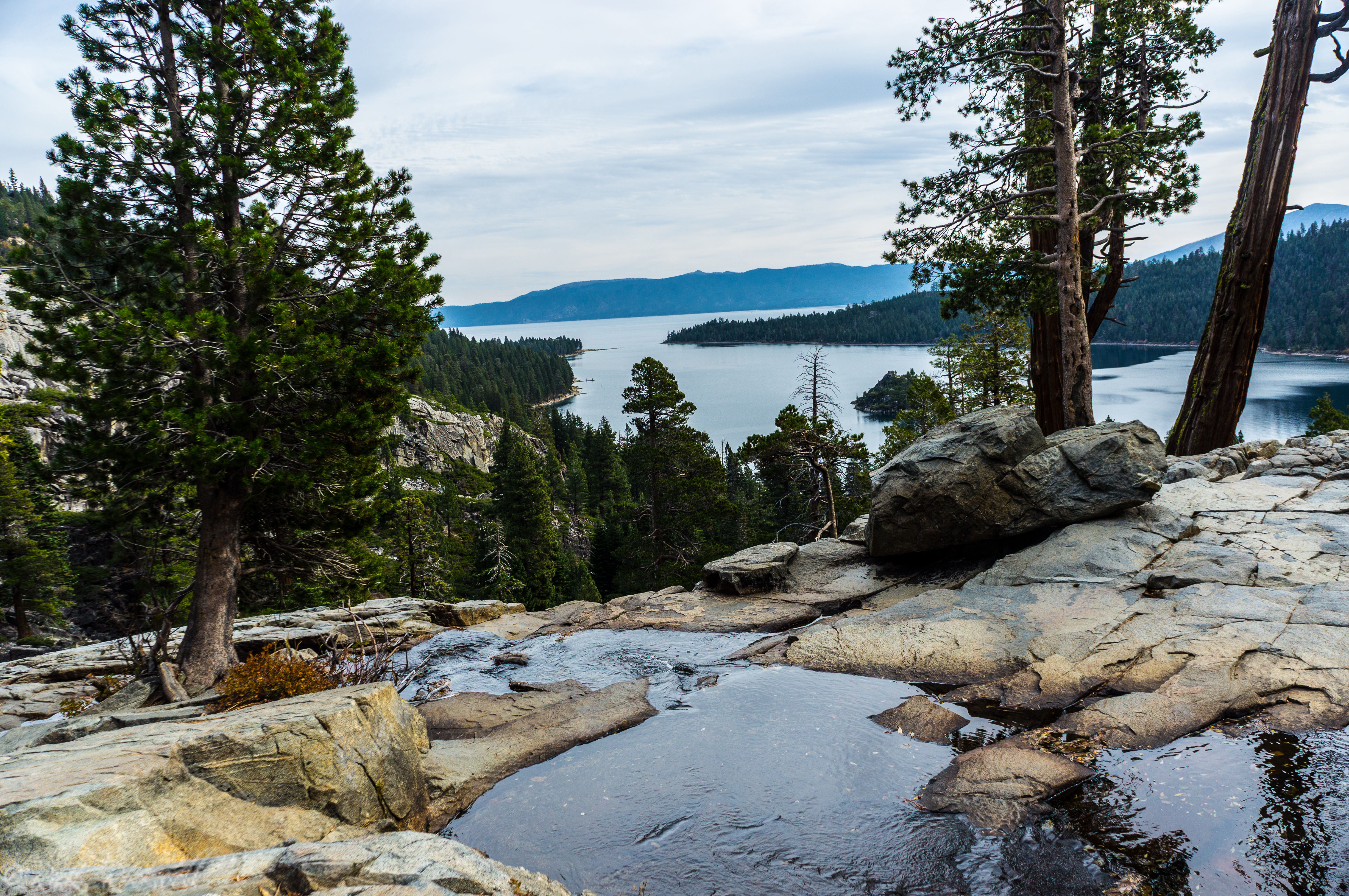
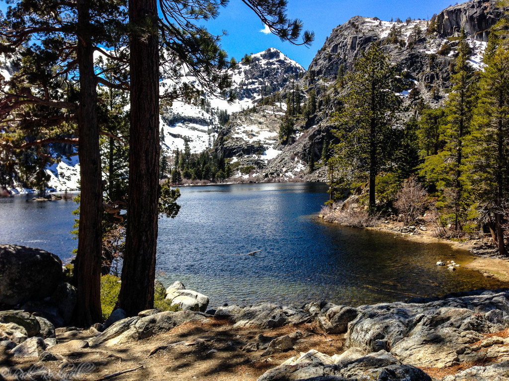
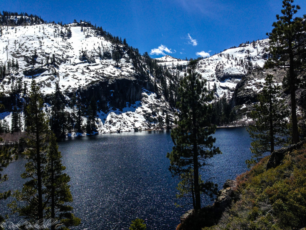
Beyond the falls, the route continues through classic Tahoe high-country terrain. Granite becomes more prominent, the forest opens in places, and the trail starts to feel like it is leaving the highway and civilization behind. By the time you reach Eagle Lake, the setting feels more alpine and secluded than the trailhead below.
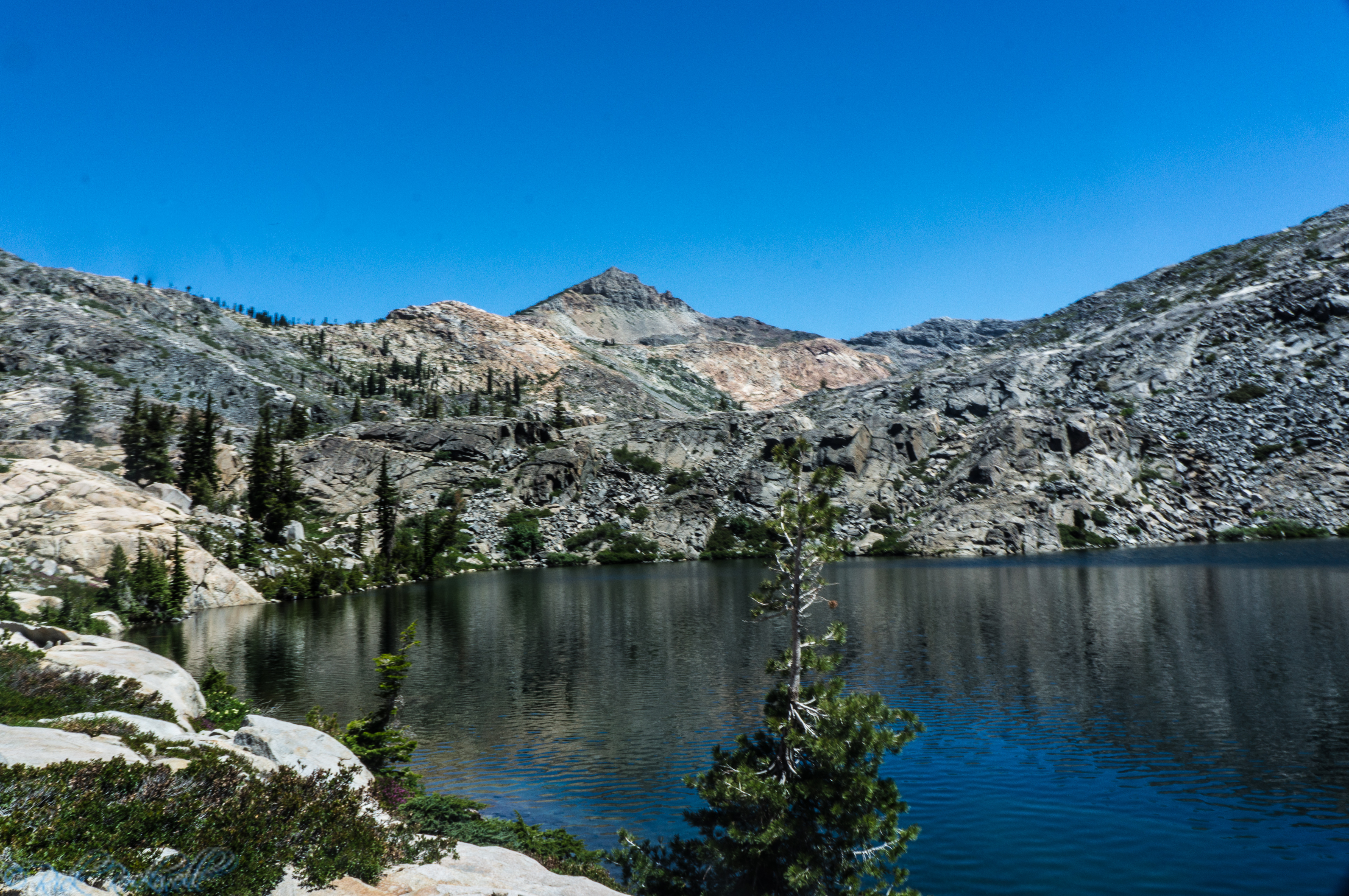
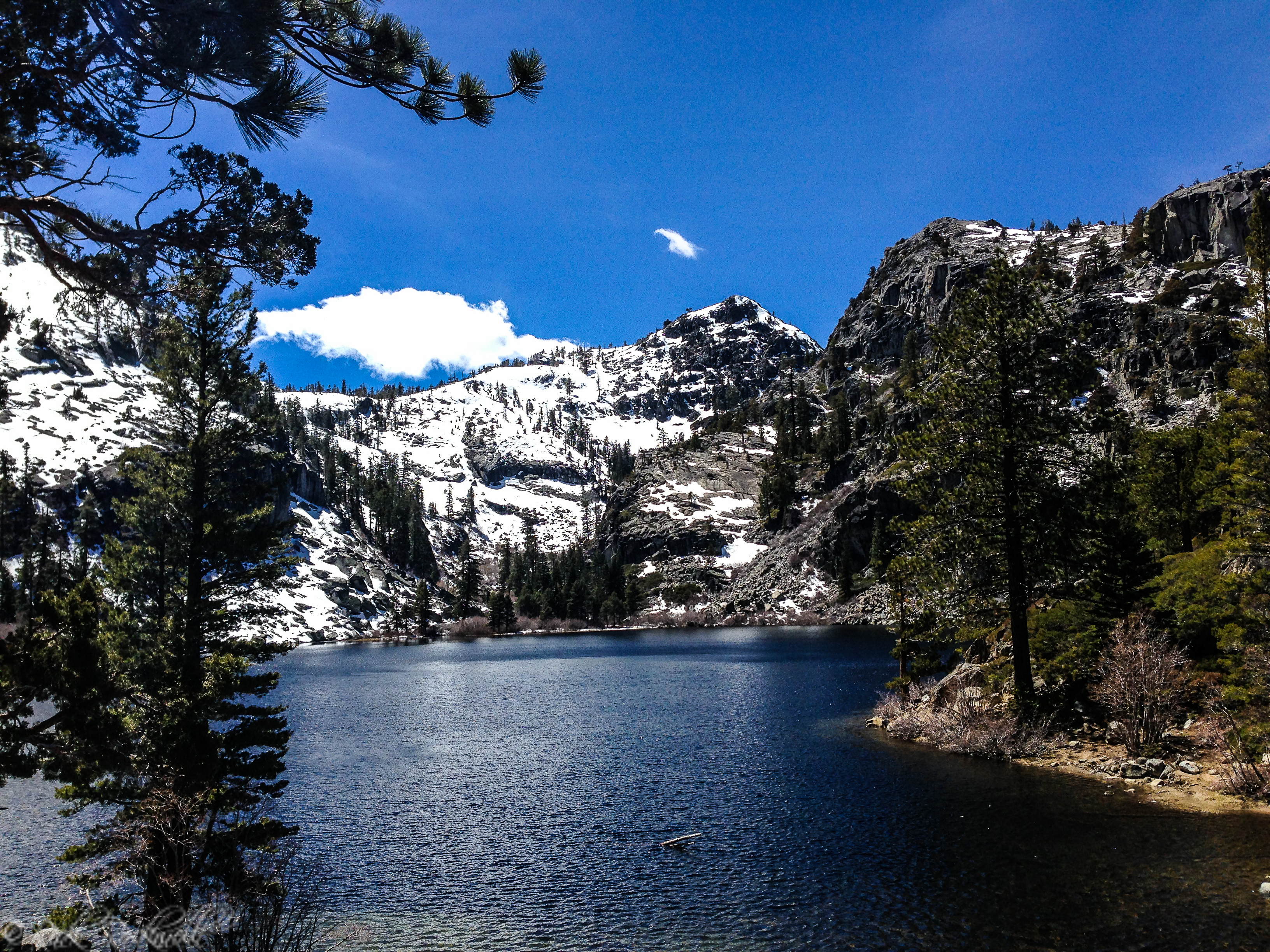
Eagle Lake is a satisfying endpoint for most visitors. It has the kind of mountain-lake atmosphere that makes the effort feel worthwhile: granite shoreline, cold clear water, and a setting that feels rugged without requiring a massive wilderness push.
And, if you are fortunate enough to visit Eagle Lake when nobody else is around, it feels like you are cheating at life by getting this beautiful location all to yourself. Take that opportunity to have a picnic, swim, and photograph the scenery.
Eagle Lake with snowy mountains in background
How Difficult Is Eagle Falls Trail?
The best way to describe the hike to Eagle Lake is moderate. It’s short enough for many active visitors, but steep and uneven enough that you would be foolish to think it takes little effort.
The early climb is what catches many first-time hikers off guard. On paper, the mileage looks easy. On the ground, the combination of rock, grade, and stairs makes it feel more demanding than a casual lakefront stroll. That does not make it extreme, but it does mean visitors should come prepared for a real hike.
For advanced hikers, Eagle Lake may feel like a shorter outing. For families, beginners, or visitors adjusting to elevation, the same trail can feel more challenging.
Parking, Permits, and Trailhead Logistics
- Parking fee: $5 per vehicle per day at Eagle Falls Trailhead.
- Overnight permit waiver: The parking fee is waived for valid Desolation Wilderness overnight permit holders when the waiver is obtained with the permit.
- Restrooms: Restrooms are available at the trailhead.
- Picnic tables: The site includes picnic tables for day-use visitors.
- Potable water: No potable water is available, so bring your own drinking water.
- Permits: Permits are required for visits to Desolation Wilderness; day-use permits are typically self-issued at trailheads, while overnight permits require reservation and a fee.
- Campfires: Campfires are not allowed at the trailhead site.
- Seasonal access: The trailhead is typically open mid-May through mid-October, depending on weather and snow conditions.
- Crowds: Can be extremely crowded on weekends during peak months.
Best Time to Hike Eagle Falls Trail
Late spring through early fall is usually the main hiking season, though the exact timing can shift depending on snow and trailhead access. In spring and early summer, the upper falls are often at their most impressive, which adds even more drama and payoff to the hike.
Summer offers the most predictable access, but also the biggest crowds. That can be especially noticeable in the Emerald Bay corridor, where parking and trailhead congestion are common.
Early fall can be a very pleasant time to hike if you are willing to trade stronger waterfall flow for slightly calmer conditions. In any season, weekdays are often a better choice than peak weekends.
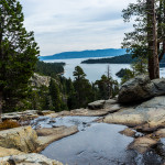
Looking around Eagle Lake