Things to Do at Sugar Pine Reservoir
Sugar Pine Reservoir is less about packed itineraries or major attractions, and more about simple Sierra recreation like: paddling, fishing, camping, and relaxing by the water.
Boating
Boating is allowed at Sugar Pine Reservoir, and the recreation area includes a public boat ramp on the southern shore with a concrete ramp and floating dock. The lake is kept low-key by a 10 mph boating speed limit,
Kayaking and Paddleboarding
Sugar Pine Reservoir is one of the region’s more beginner-friendly lakes for kayaking and paddleboarding. The calm water environment, due to less boats and wind exposure, is ideal for paddling.
Fishing
Since the 1980s, fishing remains one of the reservoir’s biggest draws. The lake is regularly stocked with rainbow trout and brown trout. Additionally, there are designated shoreline access points to fish from.
Swimming
Swimming is allowed at Sugar Pine Reservoir. However, do not confuse it with other developed beach lakes where there are lifeguards and a number of designated swimming areas. While swimming is popular here, make sure to keep an eye out for other visitors sharing in the lake’s water activities.
Hiking Around The Reservoir
The main trail around Sugar Pine Reservoir is the Joshua M. Hardt Memorial Trail. It’s listed as an easy 3.5-mile loop that circles the lake and connects key access points including Sugar Pine Dam, the boat ramp parking area, and Manzanita Day Use Area.
The trail is designed for hikers and bikers, but not for equestrians or motorized usage.
Picnicking and Relaxing
As highlighted above, this peaceful and quiet reservoir is an ideal location for picnicking, spending an afternoon near the water, posting up with a good book, or taking photos of the landscape.
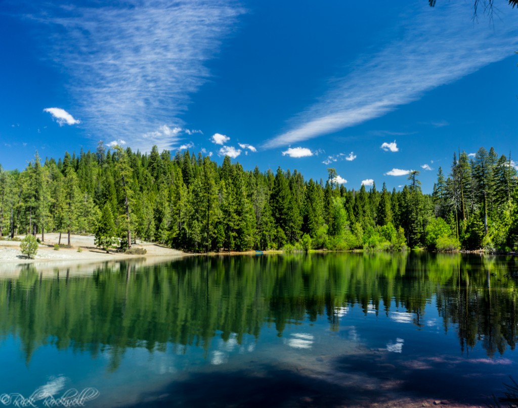
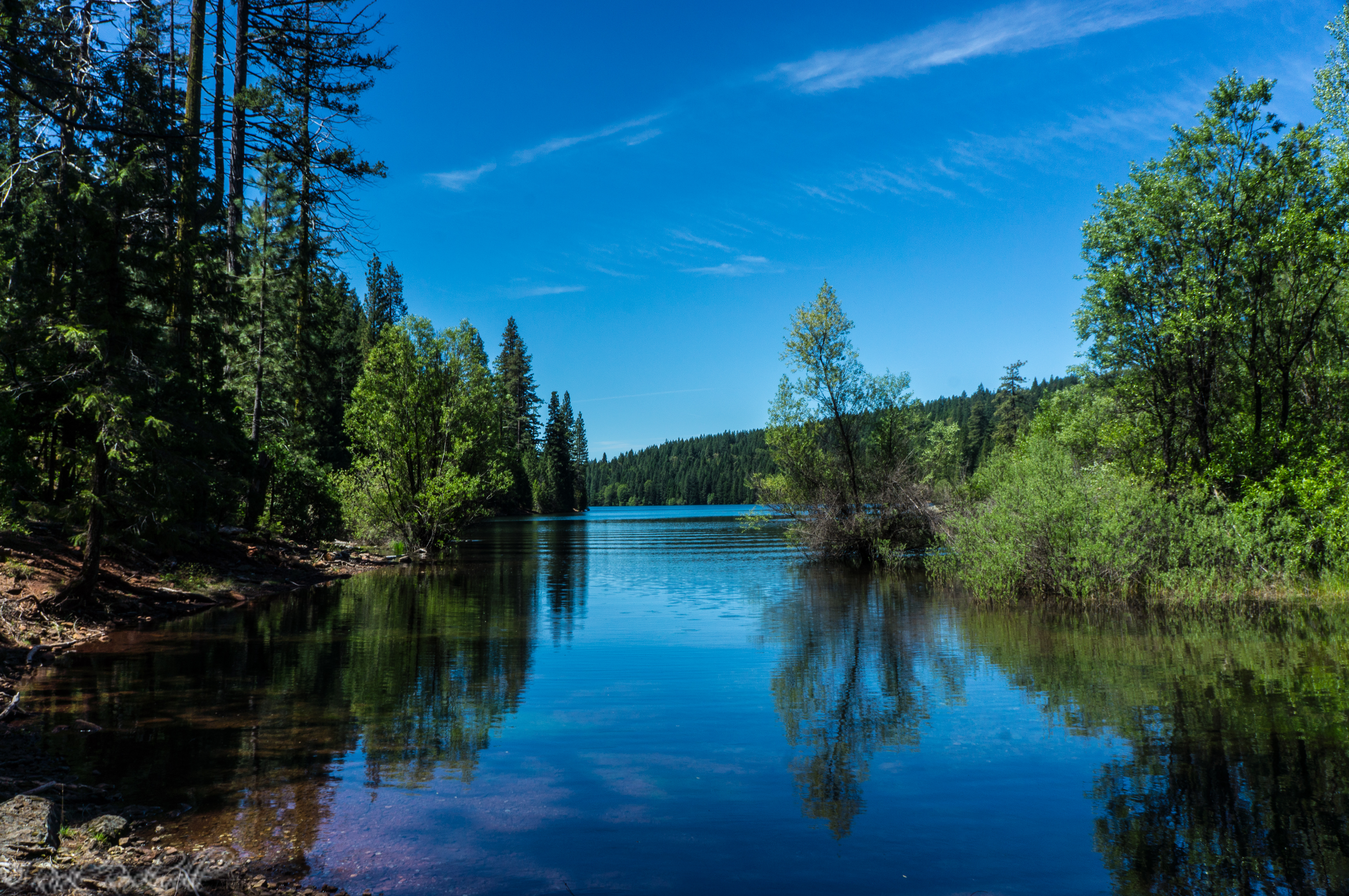
Sugar Pine Reservoir
Camping at Sugar Pine Campground
Camping at Sugar Pine Reservoir embodies this lake’s tranquil environment. Unlike larger campgrounds and crowds, the reservoir’s campsites are tucked within the trees, shaded, forested, low-key, and family friendly. Each campsite feels like you have your own portion of the forest.
Giant Gap Campground
Giant Gap Campground sits on the north/northwest shore of Sugar Pine Reservoir an is one of the main family camping areas.
Giant Gap Campground features:
- Single, double, and triple campsites
- Forested setting overlooking the reservoir
- Access to fishing, kayaking, swimming, and boating
- Nearby hiking and OHV staging access
- Fire rings, picnic tables, and vault toilets
- Trailer dump station available
- Extra vehicle fees apply
Giant Gap Campground charges $24 for single sites, $48 for double sites, $72 for triple sites, $6 for using dump station, and a $5 extra vehicle fee per night.
Shirttail Creek Campground
Shirttail Creek Campground sits near a small creek feeding Sugar Pine Reservoir and carries a slightly more wooded and secluded atmosphere than the other camping options. It’s an ideal campsite for solo or family camping trips.
Shirttail Creek features:
- Roughly 30 campsites
- Single, double, and triple site options
- Creekside and forested setting
- Access to the reservoir and nearby trails
- Fire rings and picnic tables
- Vault toilets and trailer dump station access
- Good mix of tent and smaller RV camping
Shirttail Creek Campground charges $24 for single sites, $48 for double sites, $72 for triple sites, $6 for using dump station, and a $5 extra vehicle fee per night.
Forbes Creek Group Campground
Located near the southeast shore of the reservoir, Forbes Creek Group Campground is the dedicated group camping area at Sugar Pine Reservoir and is designed for larger gatherings rather than individual family sites. The campground includes two reservable group areas: Madrone and Rocky Ridge.
This is the best Sugar Pine Reservoir camping option for reunions, multi-family camping trips, youth groups, or larger outdoor gatherings.
Forbes Creek features:
- Two group sites: Madrone and Rocky Ridge
- Up to 50 people and 18 vehicles per site
- Central cooking and picnic areas
- Large campfire circles
- Multiple picnic tables
- RVs, trailers, and tents allowed
- Trail access connecting to the reservoir and nearby boat ramp
The Forbes Creek Campground charges $132 per site, per night.
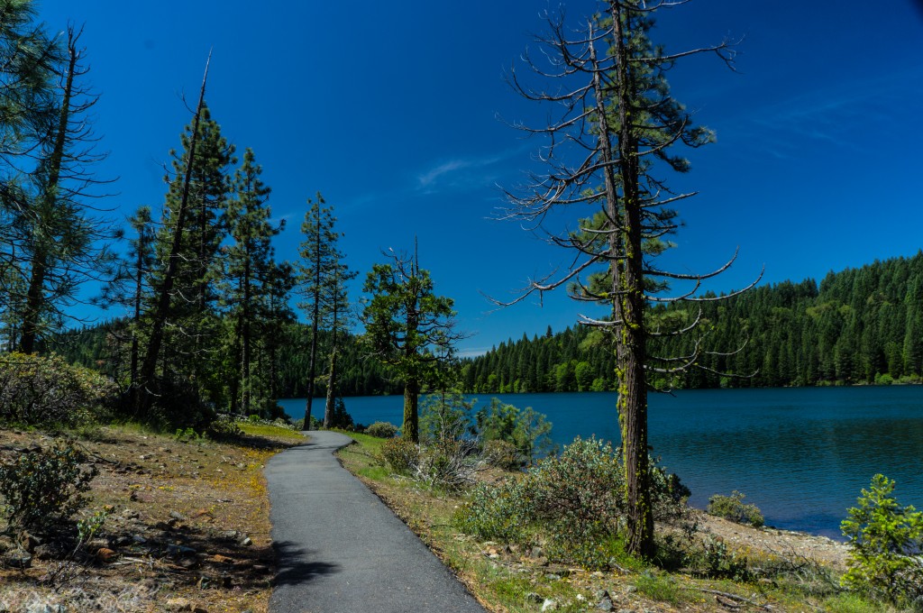
Sugar Pine Reservoir hiking and walking trail
Things to Do Near Sugar Pine Reservoir
One of the advantages of visiting Sugar Pine Reservoir is how easily it connects with other Foresthill Divide destinations and Sierra recreation areas.
Foresthill Bridge
One of the tallest bridges in California, Foresthill Bridge spans the North Fork American River and remains one of the defining landmarks of this region.
Auburn State Recreation Area
Auburn State Recreation Area offers canyon hiking, river access, mountain biking, rafting, camping, and some of the best outdoor recreation in the foothills.
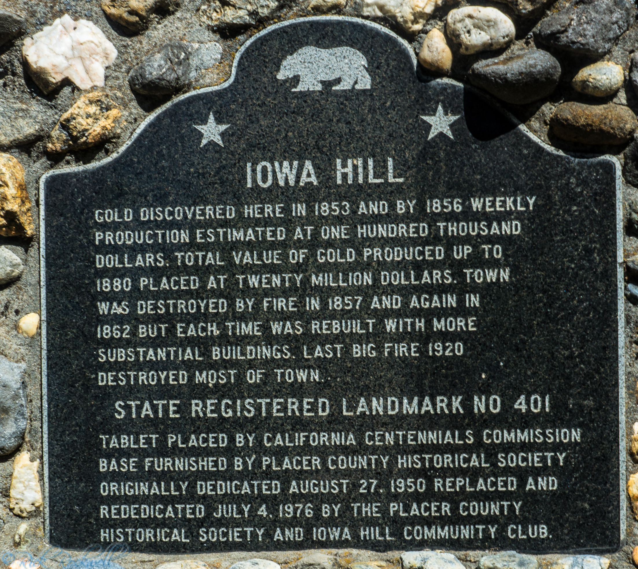
Iowa Hill
Iowa Hill is a remote Gold Rush community that still preserves much of its historic mining-town atmosphere.
Iowa Hill Bridges
The Iowa Hill bridges showcase both historic and modern engineering used to maintain access through the rugged canyon terrain.
Saint Joseph Catholic Church Bell
The St. Joseph’s Catholic Church Bell is a historic Foresthill landmark on Foresthill Road, making it a quick Gold Rush-era stop.
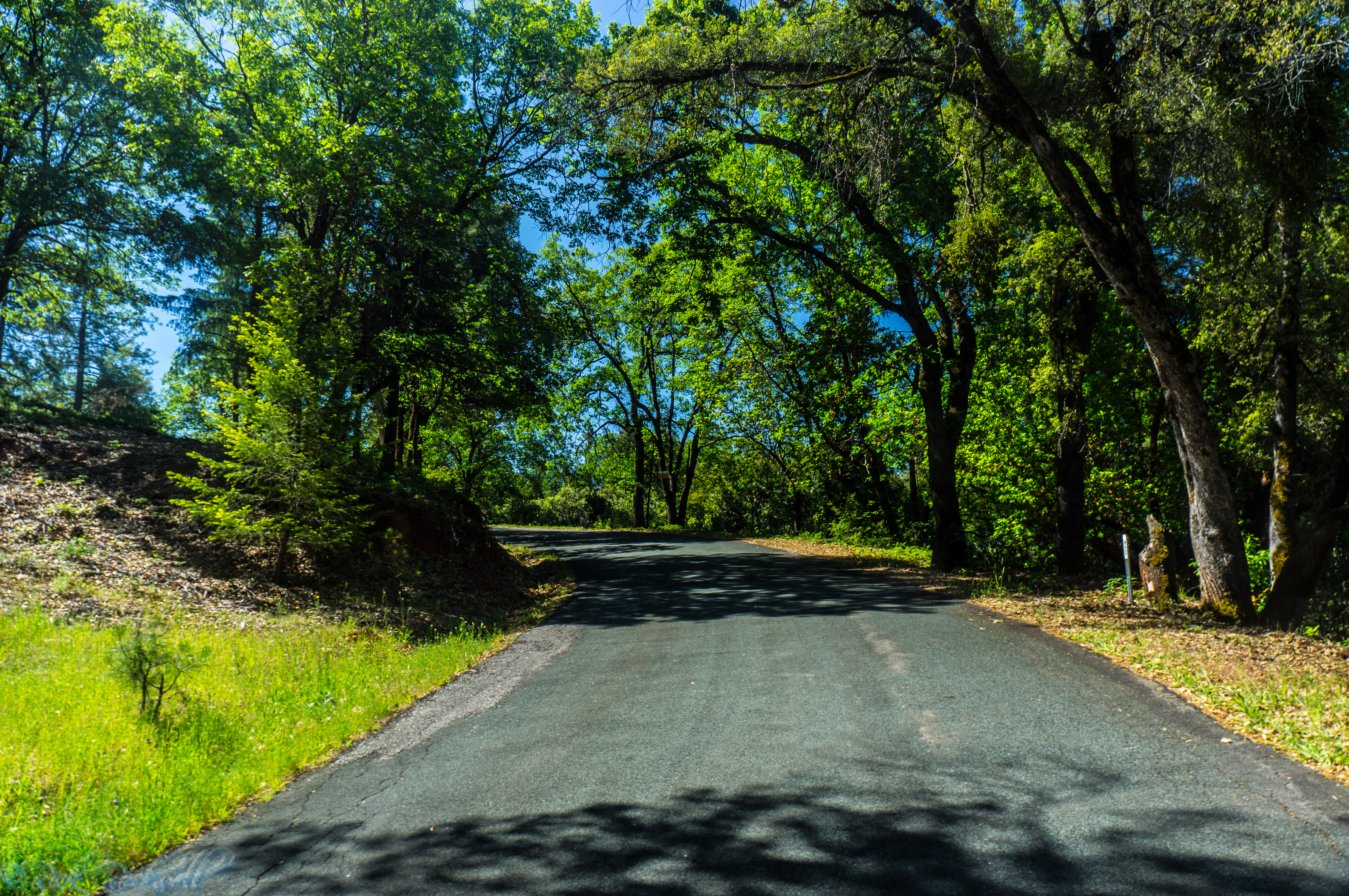
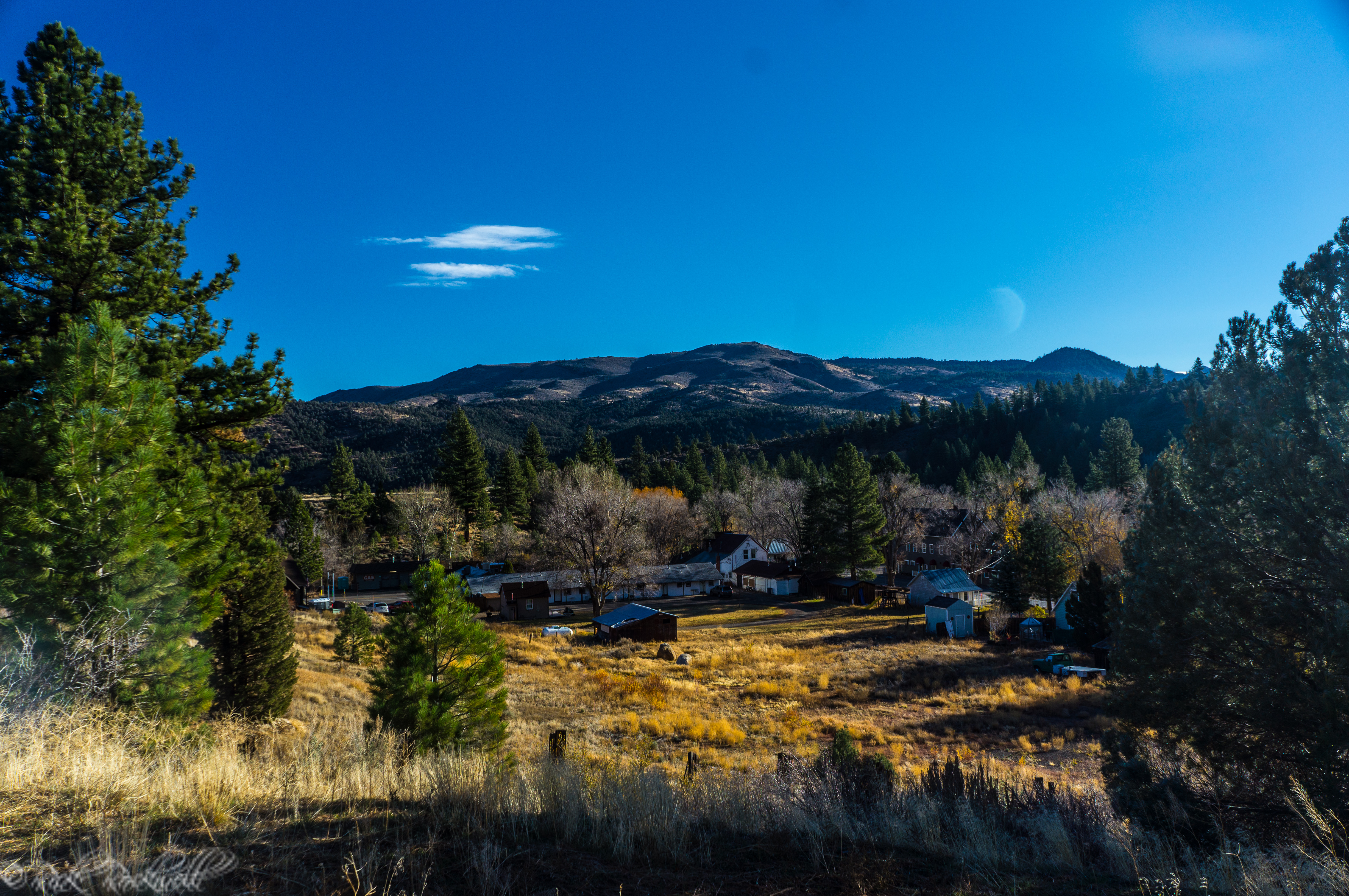
Foresthill
Foresthill serves as the main gateway community for Sugar Pine Reservoir and the broader Foresthill Divide region.
Yankee Jims
Yankee Jims is a historic mining community near Foresthill that reflects the Gold Rush roots of the Foresthill Divide.
Yankee Jims Bridge
Yankee Jims Bridge is the historic one-lane suspension bridge over the North Fork American River, though access is currently restricted during the bridge replacement project and Yankee Jims Road is closed between Gillis Hill Road and Shirttail Canyon Road.
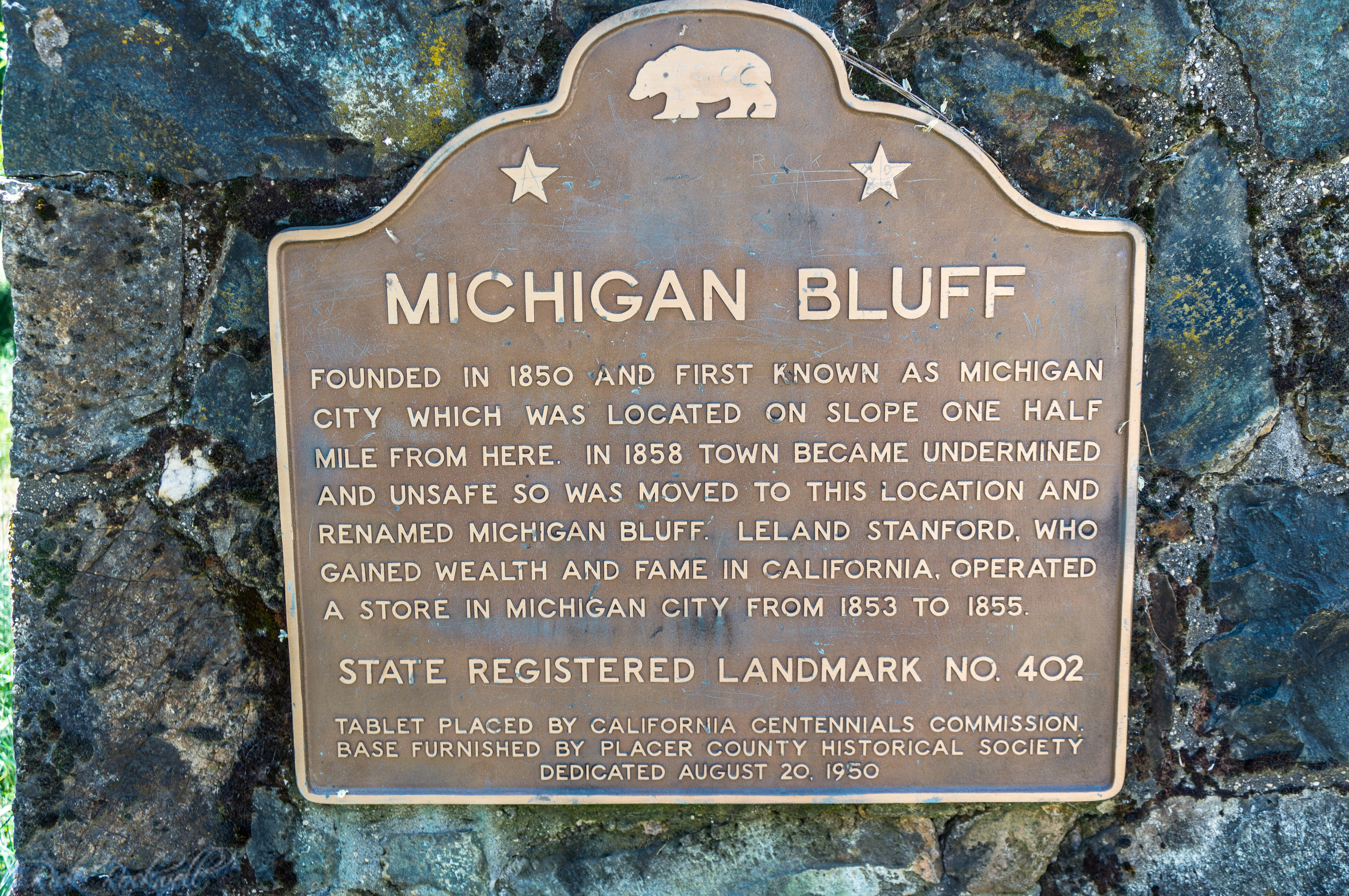
Michigan Bluff
Michigan Bluff is a historic Foresthill Divide mining town that was once one of Placer County’s most prosperous Gold Rush-era camps.
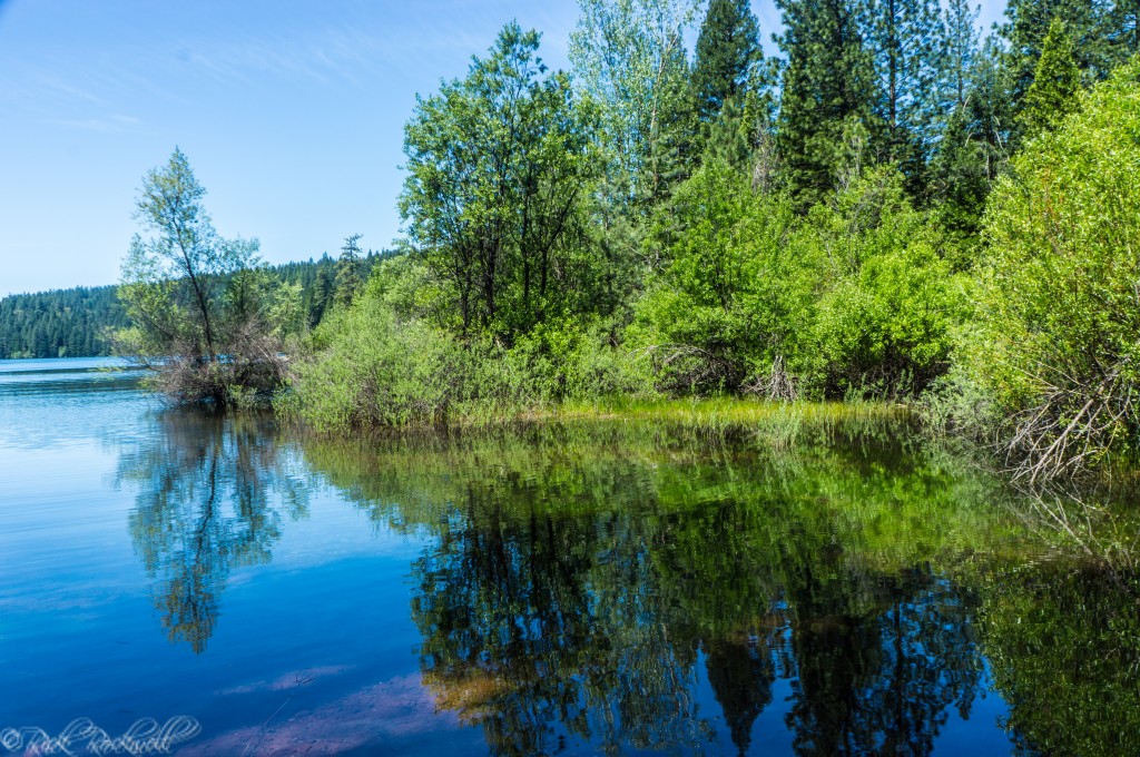
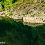
Sugar Pine Reservoir shoreline
The History of Sugar Pine Reservoir and Dam
Sugar Pine Reservoir may feel like a natural Sierra lake today, but it is actually a modern reservoir created by Sugar Pine Dam across Shirttail Creek.
The dam was built as part of the Central Valley Project’s American River Division, Folsom-Auburn Unit, giving the lake both a recreation identity and a working role in regional water infrastructure.
Unlike famous California reservoirs built around massive statewide projects, Sugar Pine’s importance has always been more regional and practical.
The reservoir became an important water-storage source for communities within the Divide, while also evolving into a recreation destination for camping, fishing, kayaking, and quiet Sierra getaways.
A February 1980 reference in the Press-Tribune of Roseville places Sugar Pine Dam in the middle of California’s late-20th-century water expansion era, when Sierra reservoirs were still being developed to support growing foothill communities and long-term drought planning.
Federal planning documents later described the project as one intended to “improve the reliability and flexibility of water supplies for existing and future customers in the Foresthill Divide area.”
Any Sugar Pine Reservoir Ghost Stories or Urban Legends?
As far as my research can tell, Sugar Pine Reservoir does not have any associated ghost stories or urban legends. Additionally, it’s not one of these California lakes with an underwater town.
However, the broader Foresthill Divide carries deep Gold Rush ghost stories and urban legends that are explored in other articles. The perfect example of this is Yankee Jim Robinson and his legendary tale of gold, crime, hanging, and modern-day haunting.
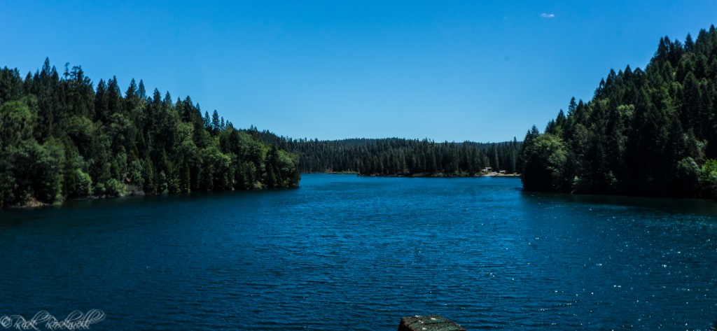
Sugar Pine Reservoir view from the dam