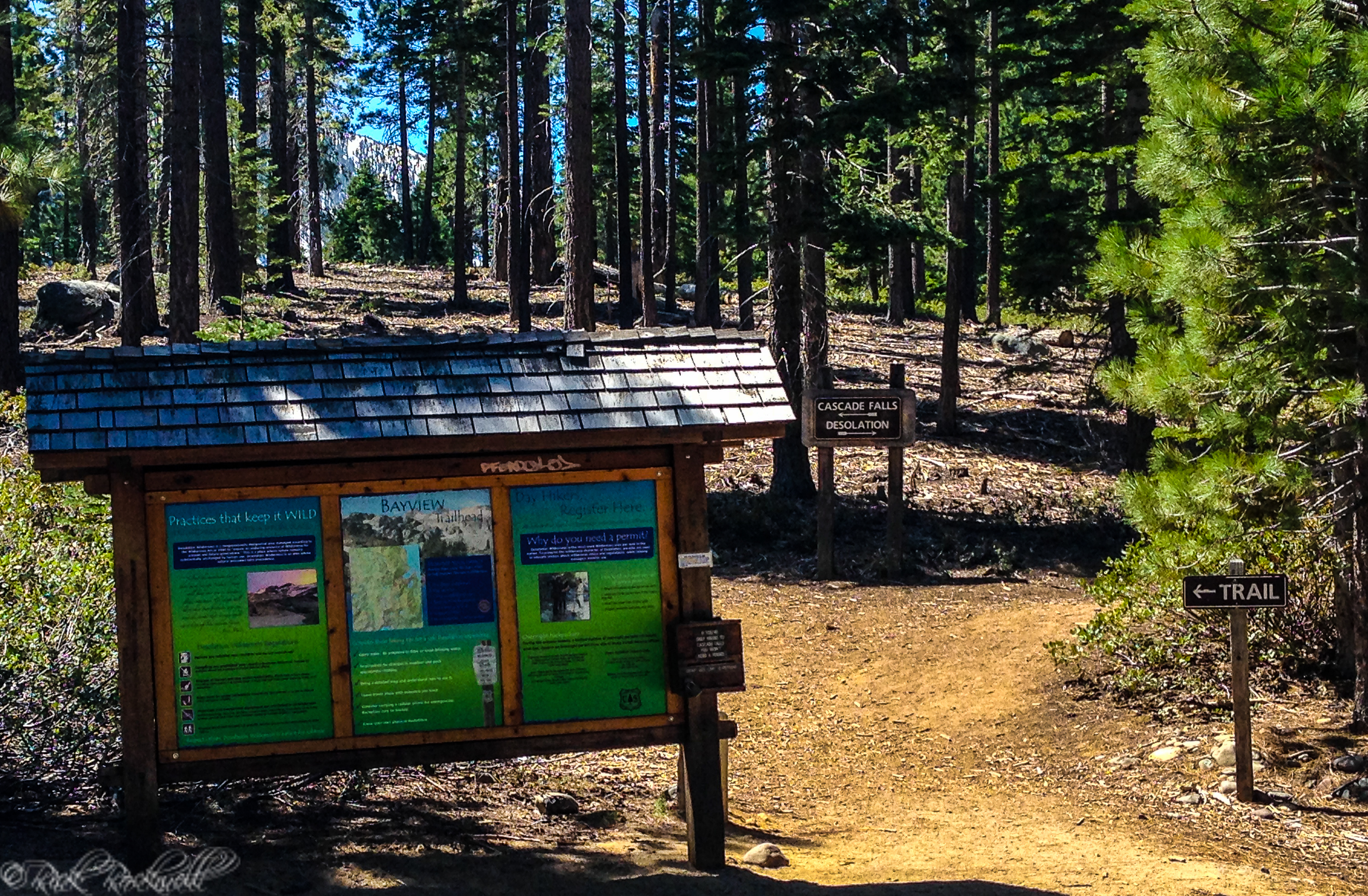
Twin Lakes Trailhead: Amenities, Fees and Rules
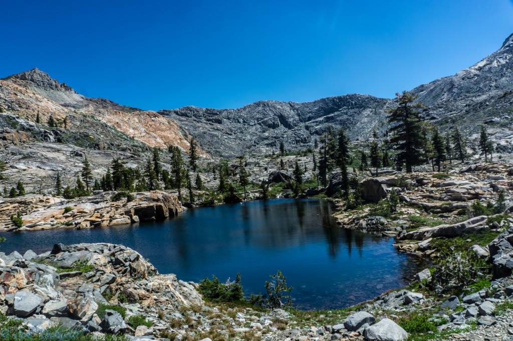
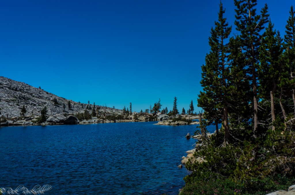
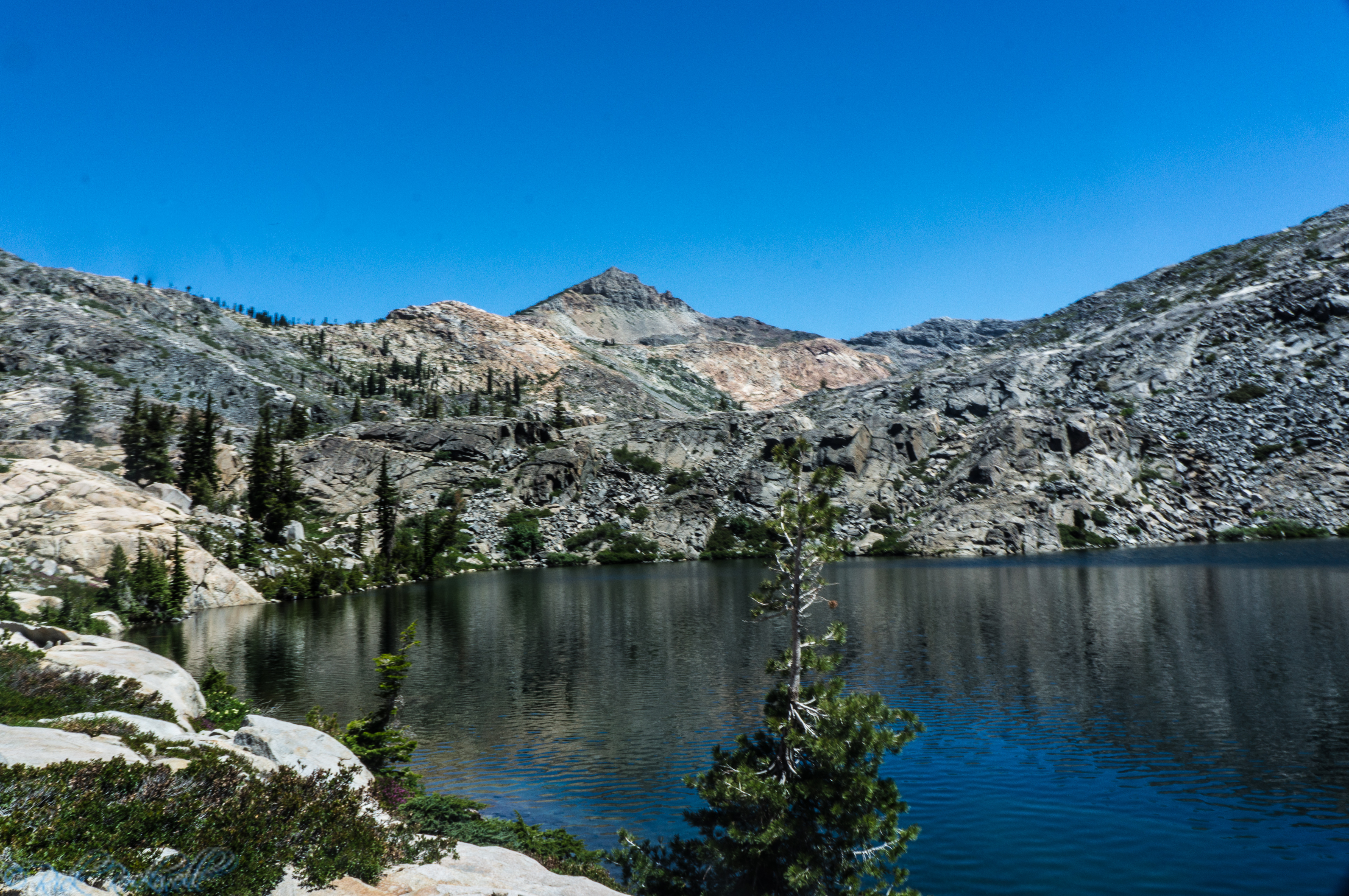
The Twin Lakes Trailhead shares an identical name with the trail along with the Upper and Lower Twin Lakes along this hike. To use this trailhead, a $10 fee is required for parking. However, if you own an overnight Desolation Wilderness permit, then the fees are waived.
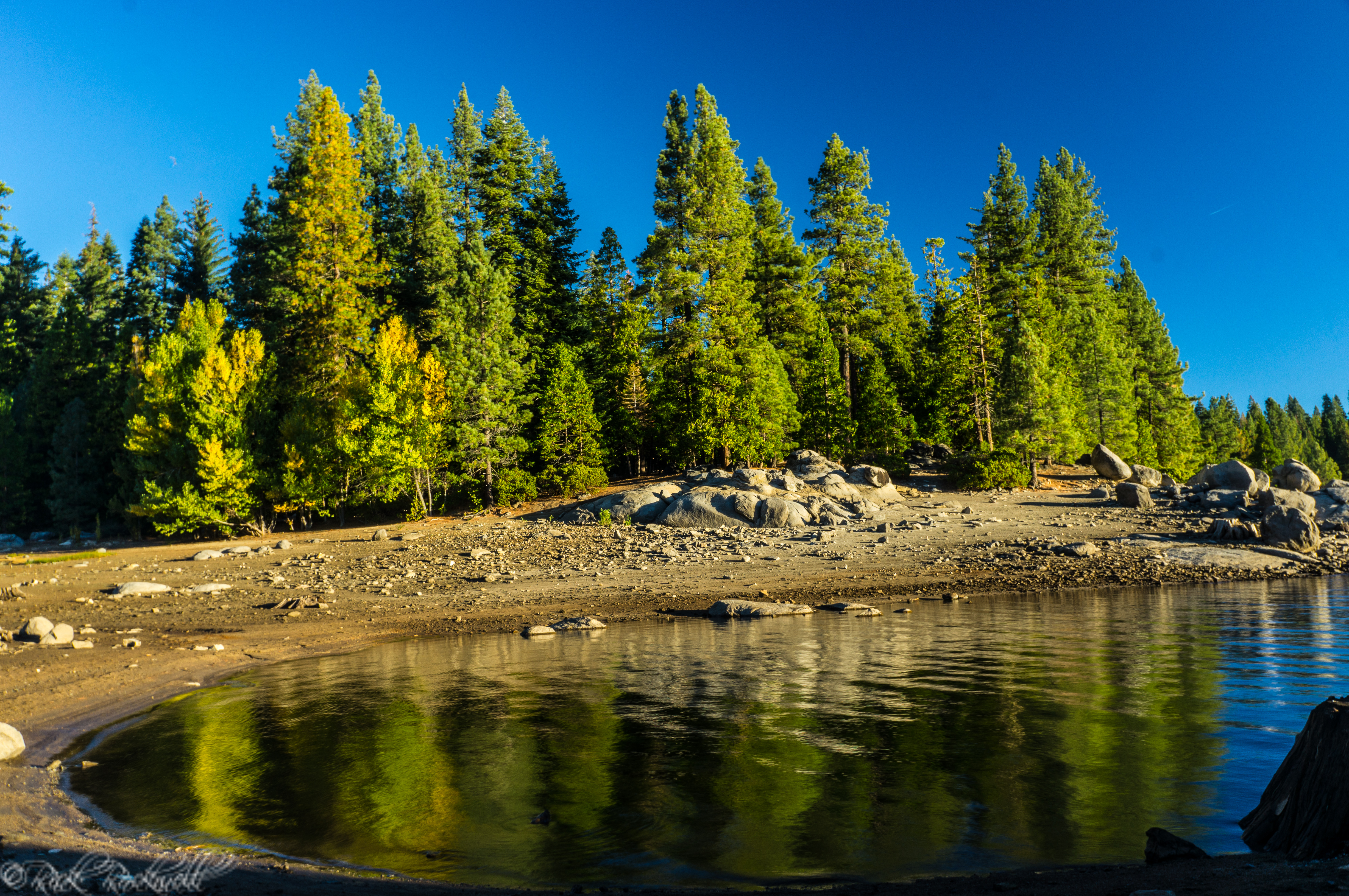
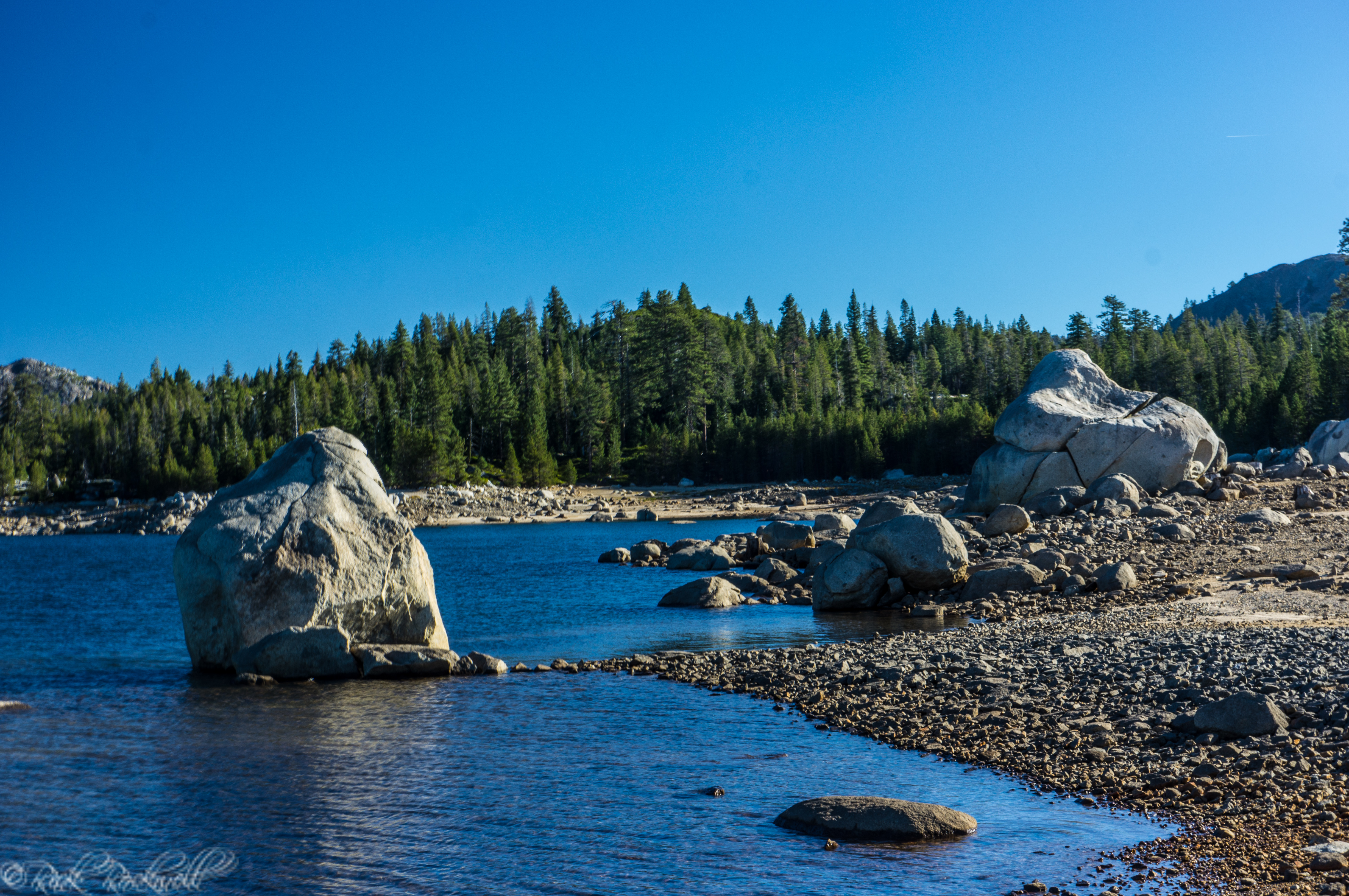
In addition to parking, the Trailhead also offers: vault toilets and wilderness permits. If you want picnic tables, grills, fire rings and other amenities, then you will have to visit the Wrights Lake campgrounds.
Permits: Do You Need One?
Yes, if you are entering Desolation Wilderness, you need a wilderness permit. The Twin Lakes Trail requires that anyone entering Desolation Wilderness fill out a day-use permit. There are no fees associated with this permit.
However, if you plan on camping overnight in Desolation Wilderness, then you will need to fill out an overnight permit prior to arrival. Overnight permits are required year-round and have limited availability from Memorial Day through the end of September.
Rules and Restrictions to Know Before You Go
Twin Lakes Trail is for day use only unless you have a valid overnight Desolation Wilderness permit. Additionally, campfires are not allowed on this trail, at the trailhead or anywhere in Desolation Wilderness. If you are using an on/off gas camp stove or lantern, you need a California campfire permit.
The Twin Lakes Trail is a non-motorized and non-mechanized trail. That means only hiking and horseback are allowed.
Always check for closures to the Trailhead and Wrights Lake Road, which both occur during the winter months. To access this Trailhead or trail in the winter, you will need to be a skilled snowshoer.
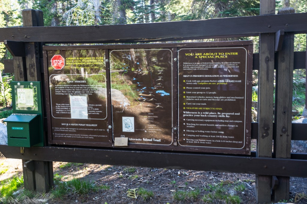
Trail sign, Map display, Permit box