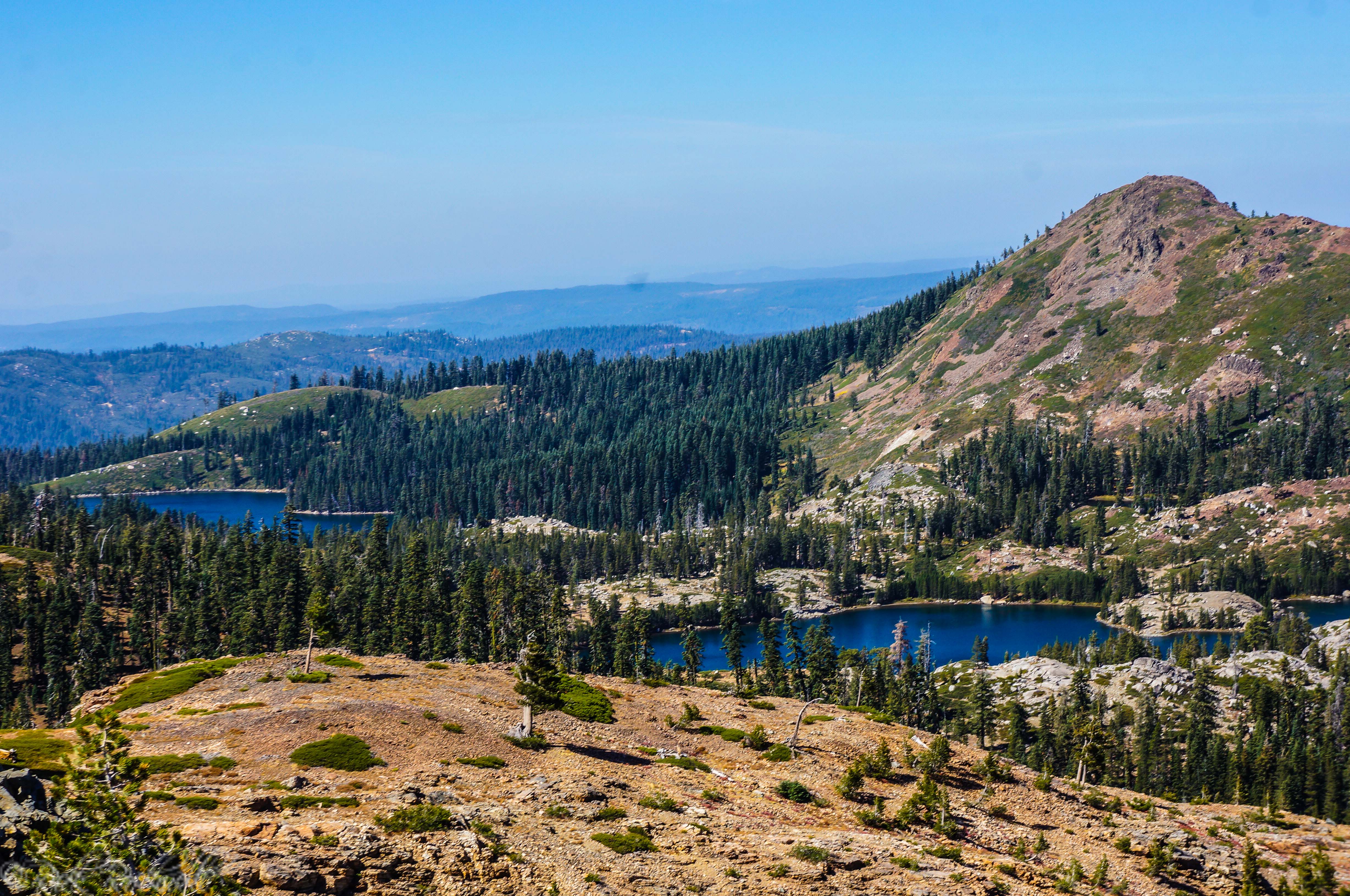
Tag: Yankee Jims Road
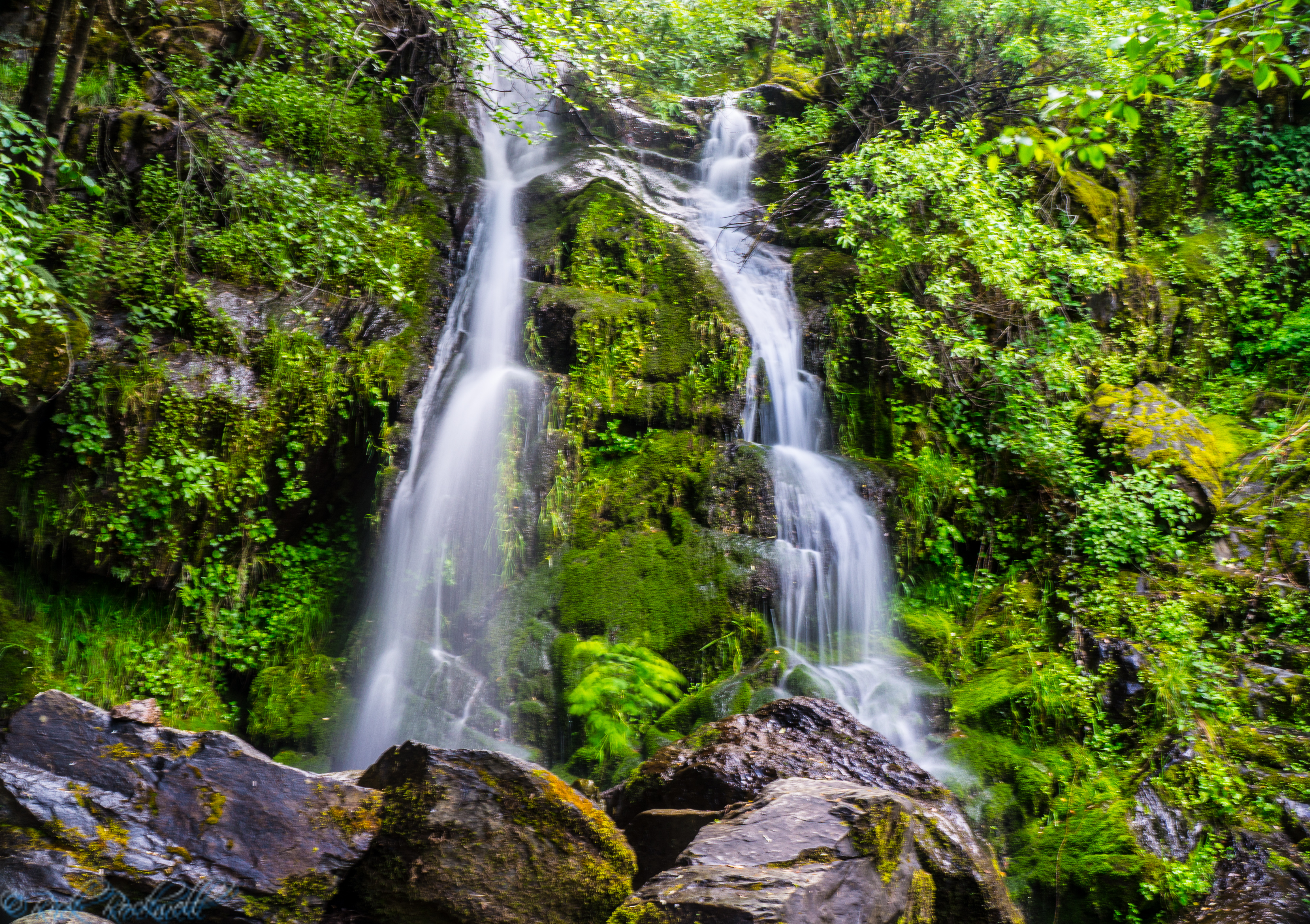
Bunch Canyon Falls: A Rugged Gold Rush Waterfall Near Colfax, California
Bunch Canyon Falls is not the biggest Auburn waterfall in Placer County, and it is definitely not the easiest one to reach. But that is also what makes it memorable. Hiding in the steep canyon country near Colfax, California, this small waterfall sits in the rugged Auburn State Recreation Area landscape around Yankee Jims Road,...
Devils Falls Near Yankee Jims: A Roadside Waterfall With a Name Straight Out of Gold Country
Devils Falls sits along one of Placer County’s old canyon routes, where Yankee Jims Road drops into the North Fork American River country, of the Auburn State Recreation Area, between Colfax and the old Yankee Jims area. The waterfall is not famous, heavily signed, or built around a formal trailhead. Its appeal has...
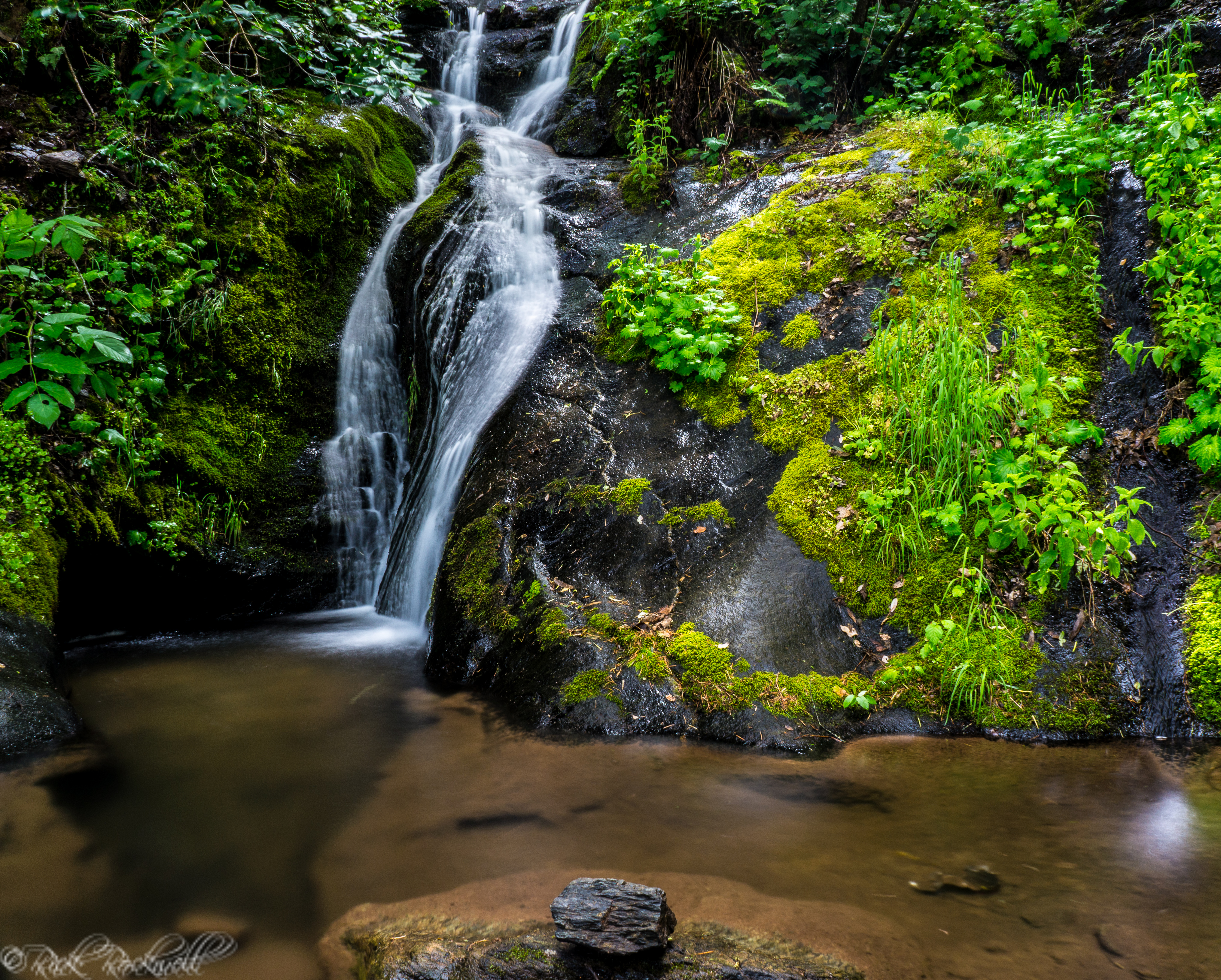
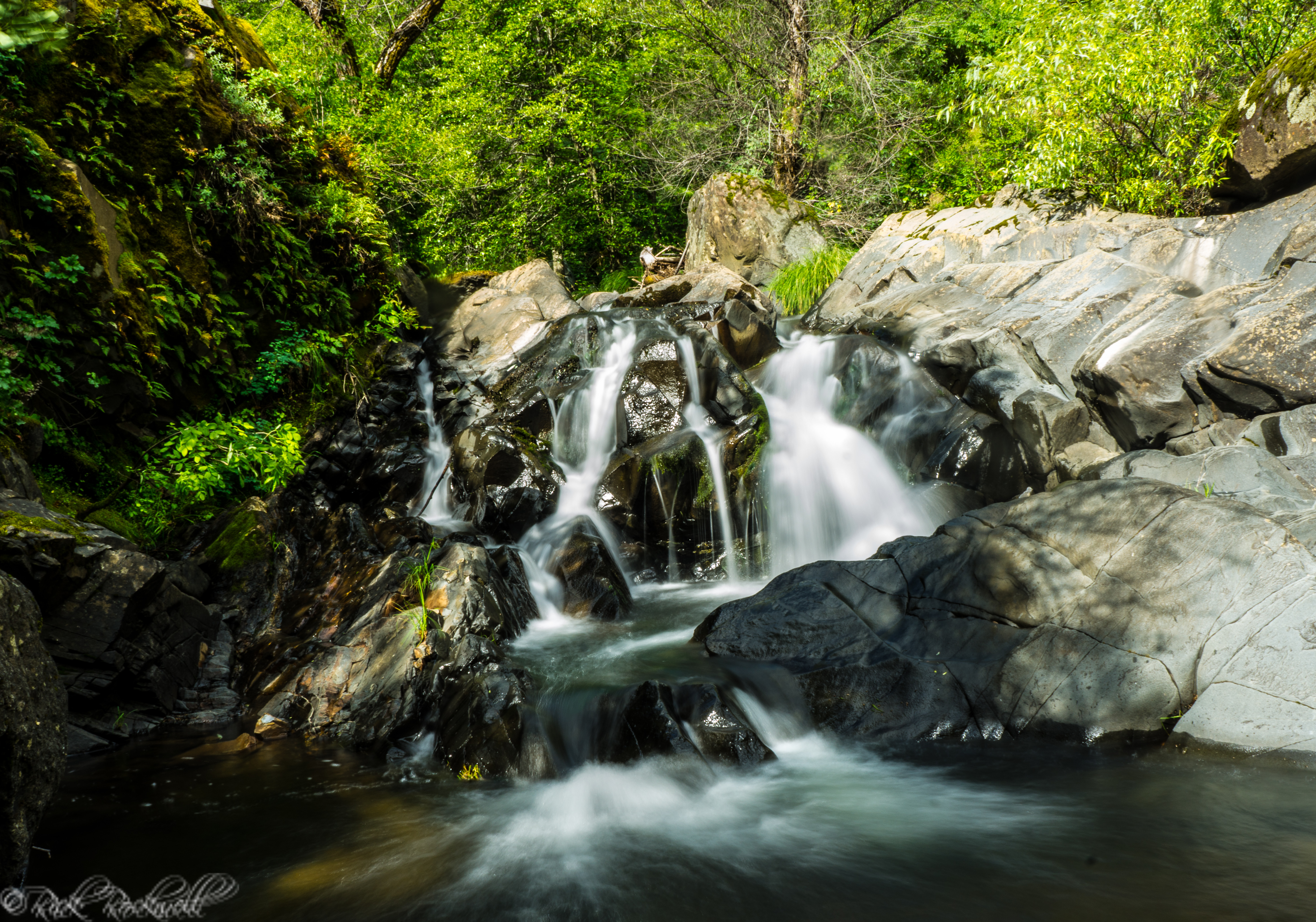
Mexican Gulch Waterfall: A Hidden Roadside Cascade Near Yankee Jims
Mexican Gulch Waterfall feels like the kind of place you find by accident while chasing old roads and urban legends through Gold Country. One minute you’re winding through dry, rugged canyon country near Colfax, Yankee Jims and the American River; the next, the road reveals a pocket of shade, wet rock, moss, and falling water …...
Yankee Jims Bridge: A Walk Through Placer County History
At first glance, Yankee Jims Bridge looks like a quiet backcountry crossing suspended above the North Fork American River in the Auburn State Recreation Area. But this narrow bridge in Placer County stands on a route with roots deep in California’s Gold Rush era, when the nearby mining camp of Yankee Jim’s helped turn the …...