Is There An Official Trail To Bunch Canyon Falls?
No. Bunch Canyon Falls does not have an official trail. In fact, finding where to pull over and park along Yankee Jims Road is a challenge in itself.
Prior to the 2.6-mile spot for road-side parking, there’s a sign stating Auburn State Recreation Area. This will help prepare you to keep a lookout for the parking area that’s coming up on the right side.
It’s perpendicular to the road and if you go too far into the parking area, you will go over the side and down at least 900 feet to the creek. In fact, after you park, you can look down to the creek and see old cars that have met this fate.
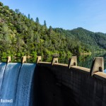
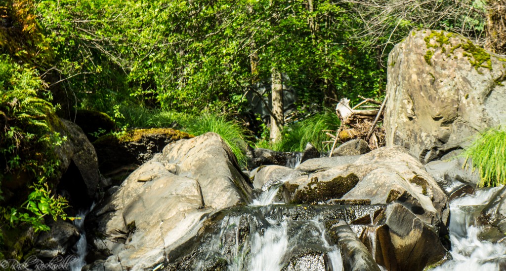
Bunch Canyon Falls
How Hard Is the Hike to Bunch Canyon Falls?
The hike to Bunch Canyon Falls is short, but difficult. That combination is important to know before heading out there. Once you park, walk roughly 50-75 feet north or south on YJR to find a safe passage down to the creek. There are no defined trails. You will have to forge your own path. The 1000-foot trek down is filled with dirt, bushes, trees, loose rocks and patches of poison oak. I recommend this only for advanced hikers.
The difficulty of this hike comes from the steepness, lack of trail, loose footing, and brushy canyon terrain. The descent can feel sketchy, and the climb back up is even harder since it’s all uphill.
That is the part many hikers underestimate. It is easy to look down into the canyon and think the falls are close enough for a quick stop, but off-trail canyon hiking can turn a short distance into a difficult and slow scramble.
This is best suited for experienced hikers who are comfortable with route-finding, steep terrain, and turning around when conditions are unsafe.
This hike is not recommended for families, kids, casual tourists, flip-flops, dogs, or anyone uncomfortable with off-trail scrambling. Even experienced hikers should avoid it after heavy rain, during high runoff, in extreme heat, or when the road corridor is closed.
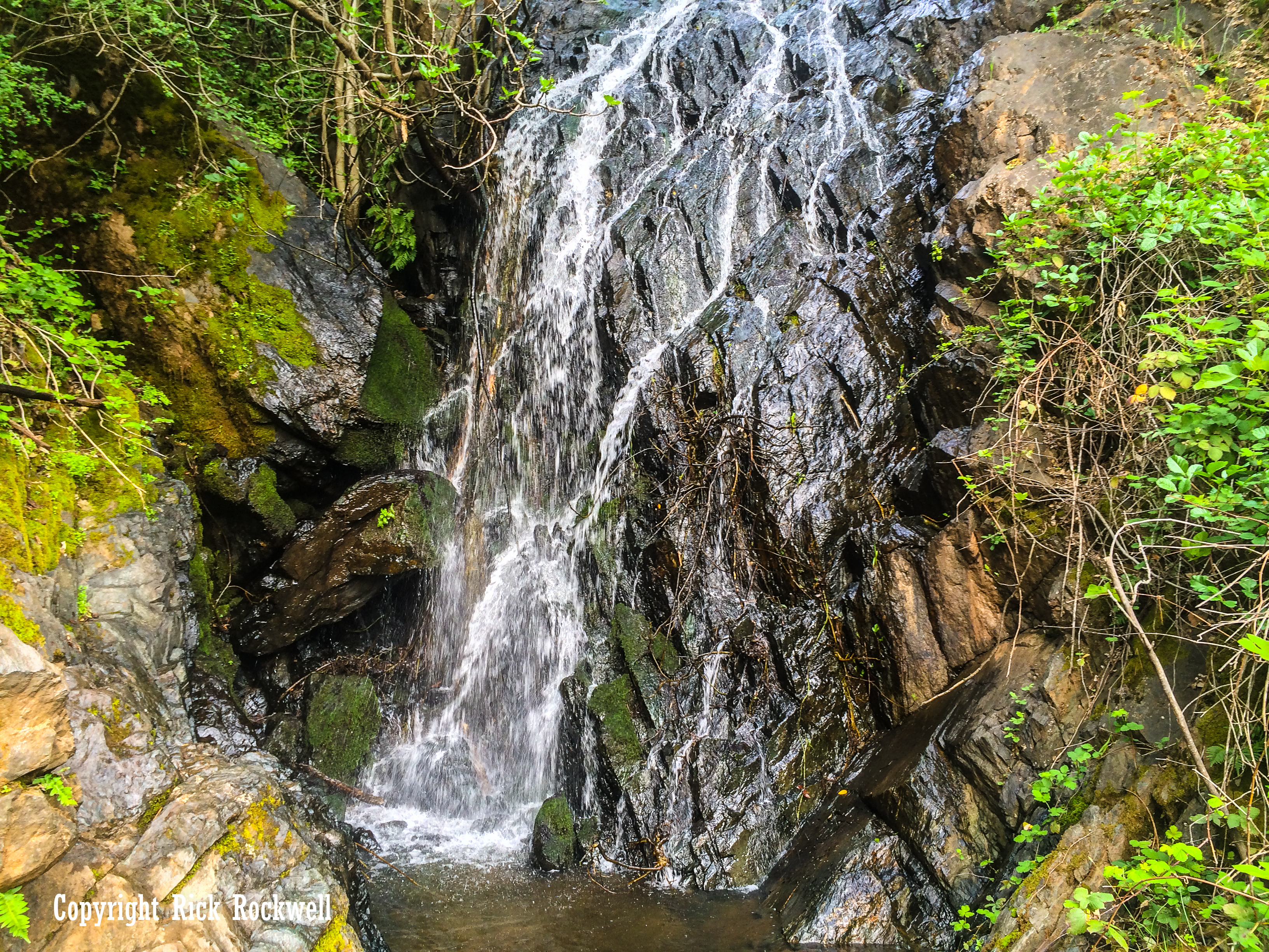
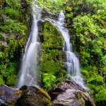
What You’ll See at Bunch Canyon Falls
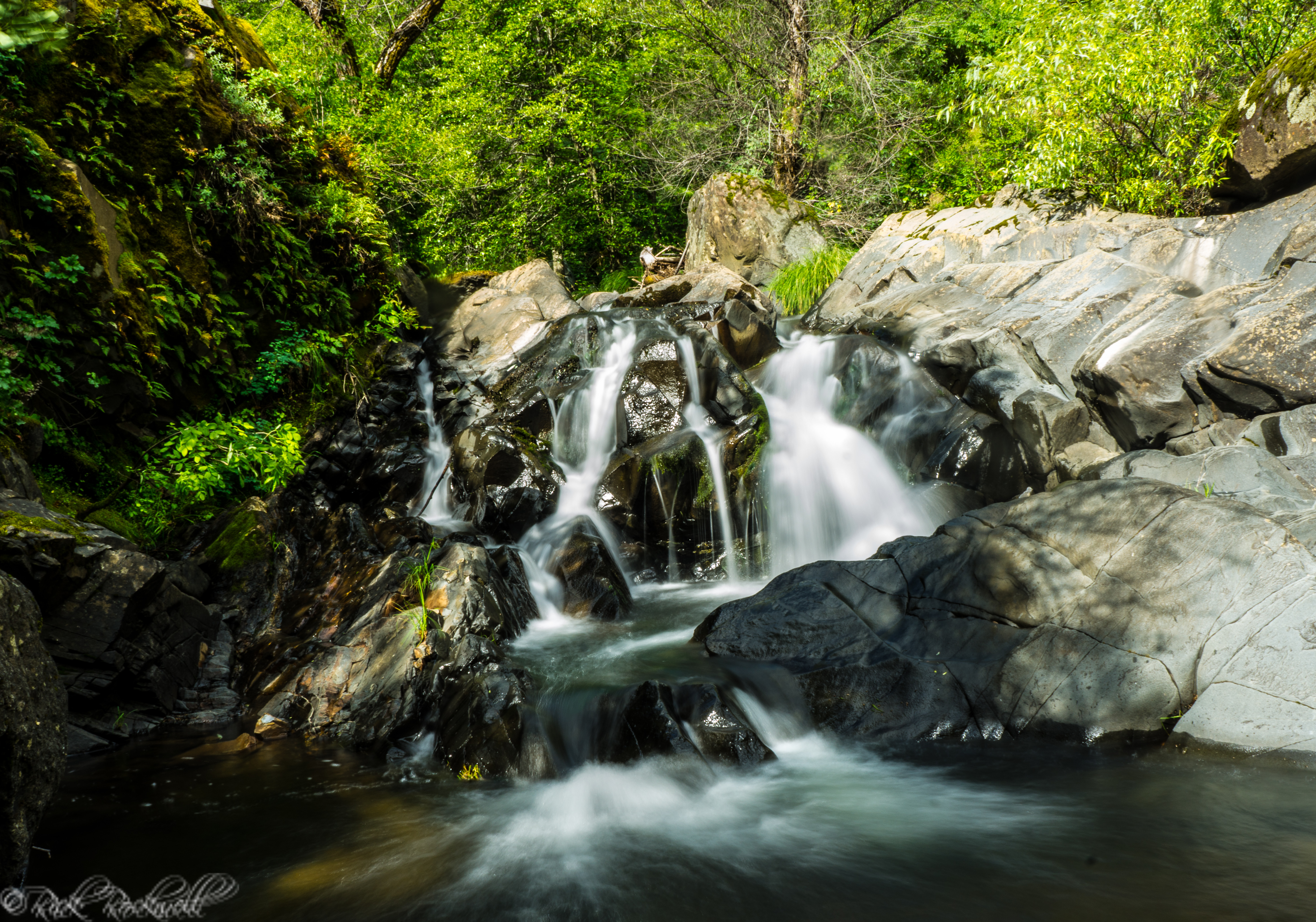
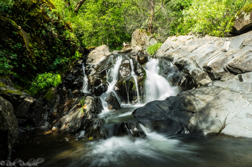
Although all the gold is most likely gone from this creek and canyon, the creek and waterfall are still small treasures for us adventurers, and history buffs, to enjoy.
Bunch Canyon waterfall is a sweet little waterfall that packs quite the adventure just to get down to it. Depending on the water flow, you can set up your tripod on large stones in the middle of the creek, roughly 6-10 feet south of the cascade. The waterfall is at least 15 feet high. Additionally, unlike any other waterfall I’ve been to, there are older cars found north and south side of the waterfall.
Best Time to Visit Bunch Canyon Falls
The best time to visit Bunch Canyon Falls is usually spring, especially after a wet winter or a recent period of rain. That is when small seasonal waterfalls in Placer County are most likely to be flowing well.
Early spring can bring better water, greener hillsides, and cooler hiking conditions. Late spring may still be good in wet years, but poison oak and brush can become more noticeable. Summer is usually less ideal because the waterfall may have reduced flow, the canyon can be hot, and the climb back up can feel much harder.
Roughly 20 feet north of waterfall is a car that went off YJR
Safety Tips Before Visiting Bunch Canyon Falls
Bunch Canyon Falls requires more caution than a typical short waterfall hike. Before going, keep these safety tips in mind:
- Check official Yankee Jims Road closure updates before leaving.
- Do not enter closed construction zones or blocked road corridors.
- Avoid the hike during rain, storms, high runoff, or icy conditions.
- Wear sturdy hiking shoes with good traction.
- Wear long pants because poison oak is common in foothill canyons.
- Bring more water than you think you need, even though the route is short.
- Do not rely on cell service.
- Avoid hiking alone.
- Turn around if the descent feels unsafe.
- Do not treat the old vehicle wreckage or canyon debris as something to climb on or explore.
- Leave no trash and avoid disturbing historic or archaeological materials.
The most important advice is simple: do not let the short distance fool you. A steep off-trail route can be more dangerous than a much longer maintained trail.
The Mystery Behind the Bunch Canyon Name
The origin of the name “Bunch Canyon” has been lost in time, but the name is established today through Bunch Creek, Bunch Canyon, and modern references to the Yankee Jims Road corridor.
It’s possible that the area got its name from the early miners who found gold along Bunch Creek. That discovery prompted a camp to spring up overnight. Historical sources state that the camp was located about one half mile south of Colfax, was first named Alder Grove and then later changed to Illinoistown.
As the town grew, it became an important supply point in the Placer County gold fields. Then the railroad changed everything. In the mid-1860s, the Central Pacific Railroad pushed east from Sacramento toward the Sierra, bringing new traffic, business, and attention to the area.
A new railroad town soon developed nearby and took the name Colfax after Schuyler Colfax, who visited the region in 1865 while serving as Speaker of the House. He later became Vice President of the United States from 1869 to 1873. Over time, Colfax became the dominant community, while Illinoistown faded into the older history of the area.
Another possibility is that the name “Bunch” came from a person, family, mining claim, or landowner associated with the canyon. Gold Country place names often grew out of local personalities, claims, camps, ranches, and geographic features. However, no verified source found so far ties a specific Bunch individual to Bunch Canyon or Bunch Creek.
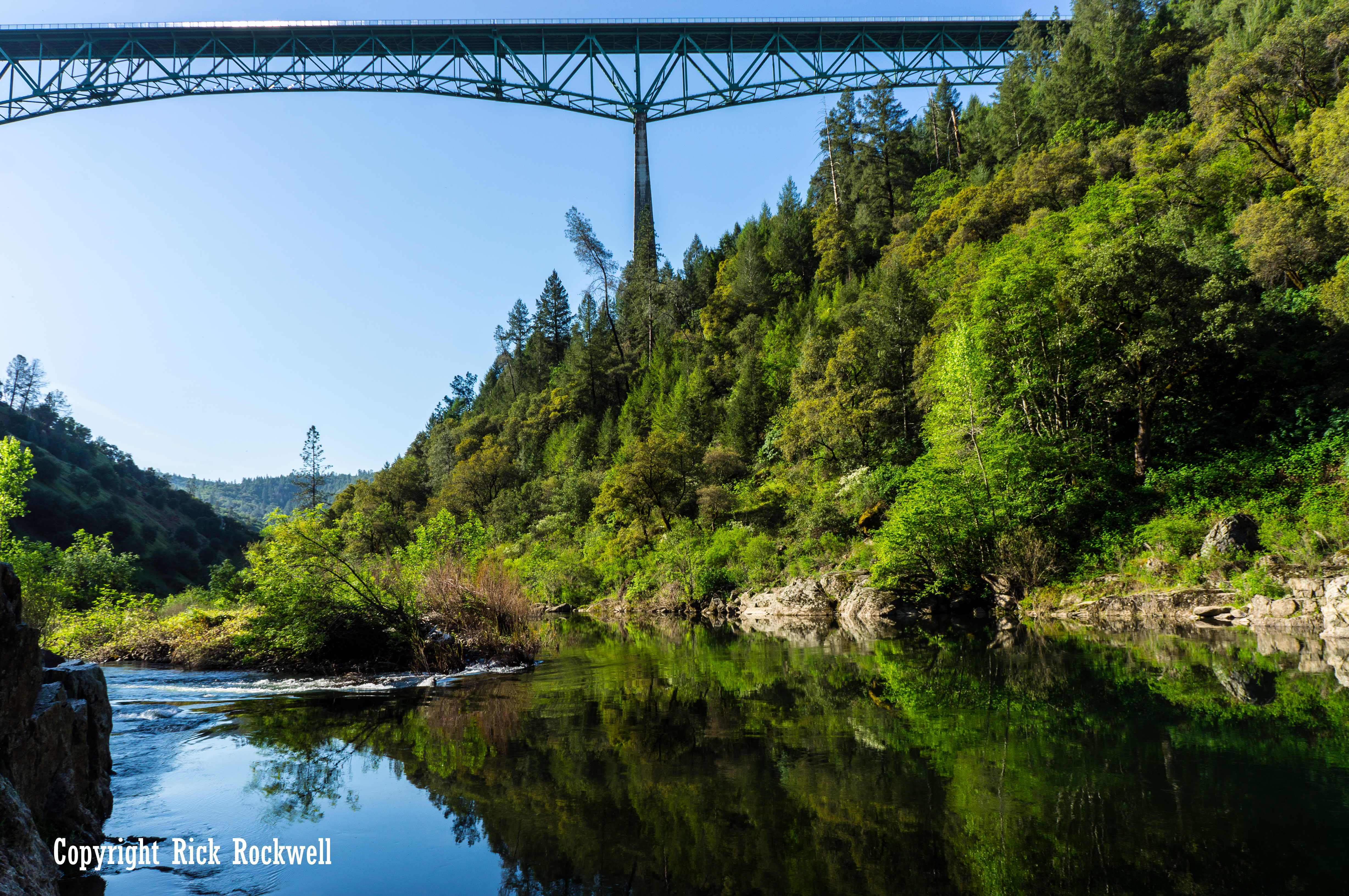
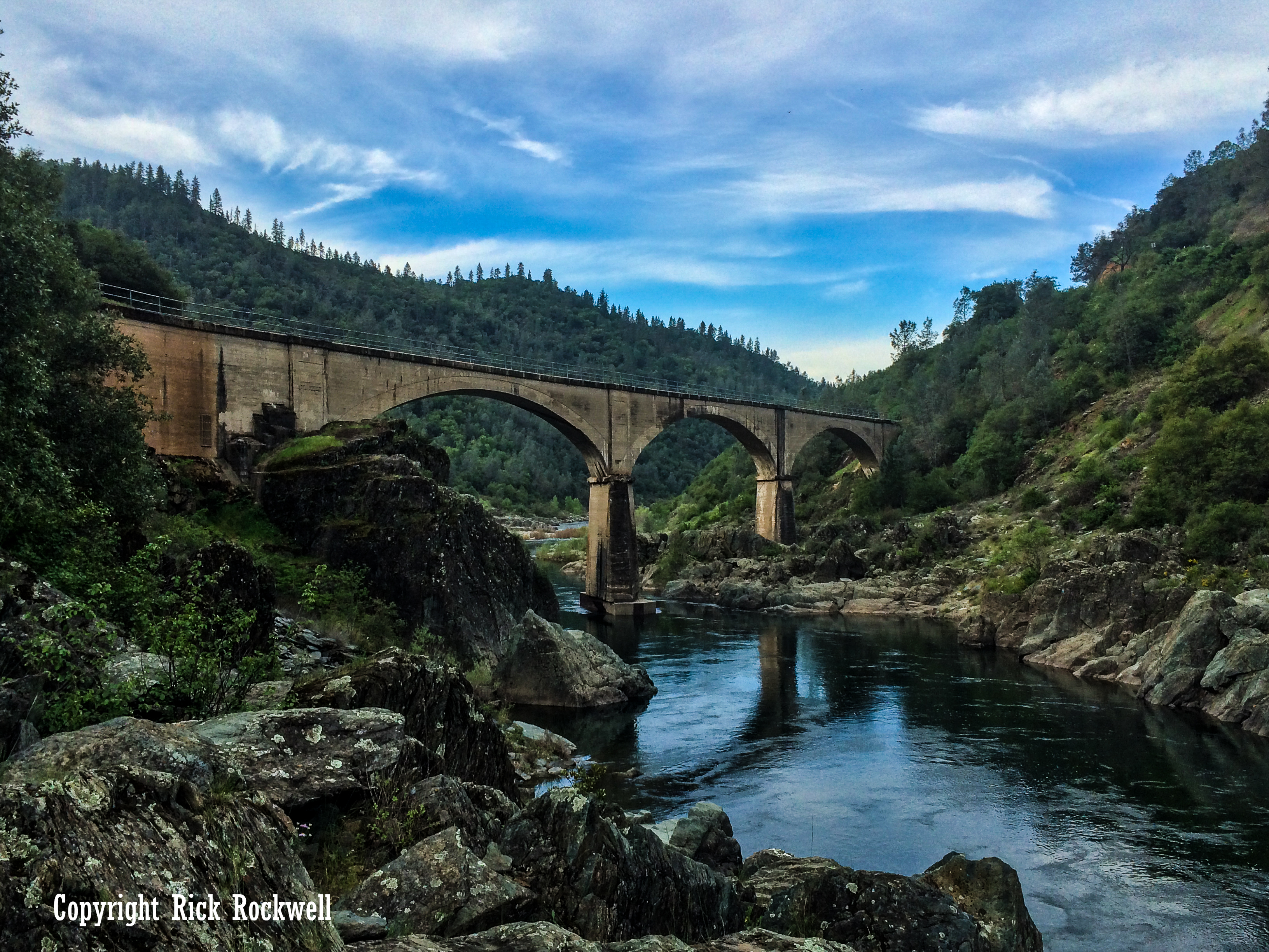
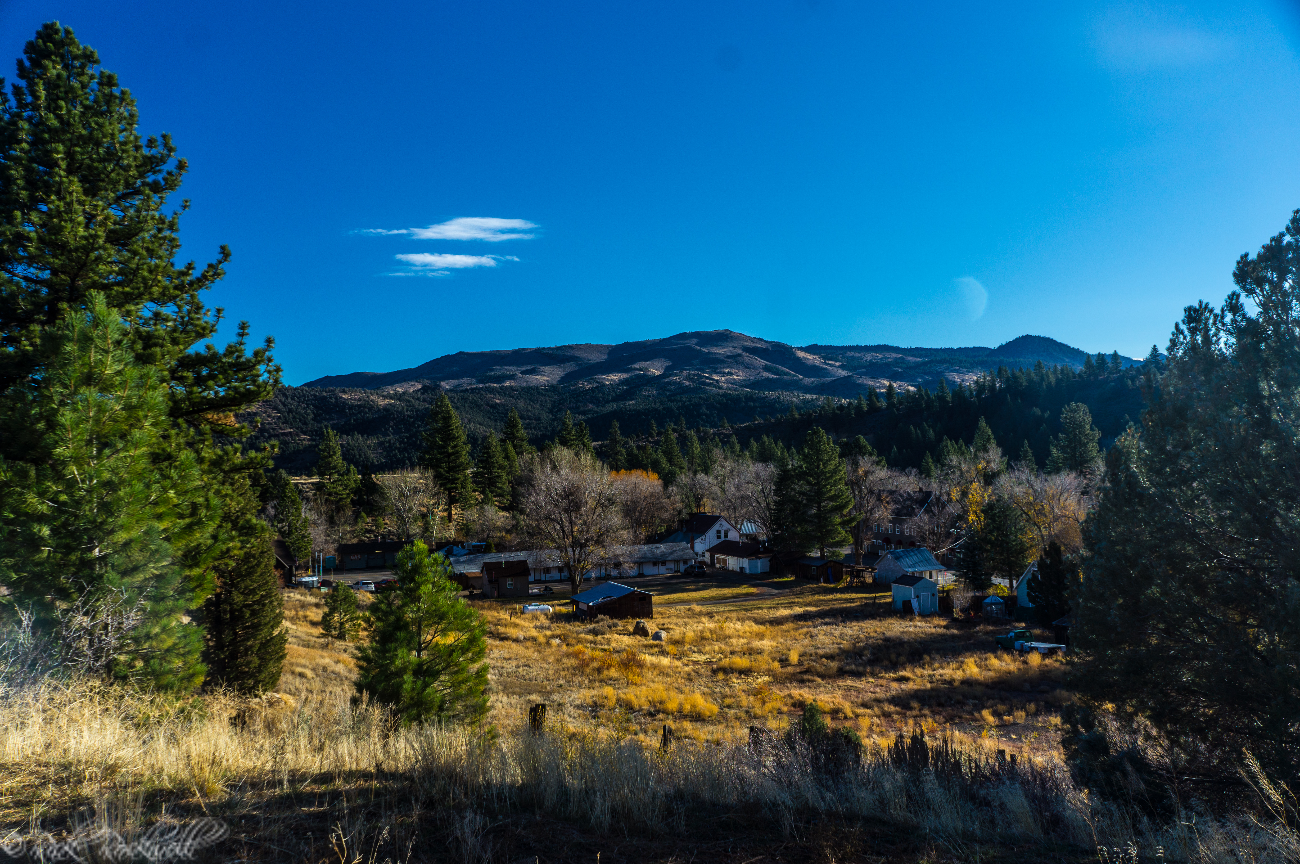
Yankee Jims Road and the Mining Camp That Still Shapes the Area
Yankee Jims Road is one of the most important pieces of context for Bunch Canyon Falls. Even if the road is currently affected by closures, its history helps explain the character of the landscape.
Yankee Jims was a Gold Rush mining town near the North Fork American River. Gold was discovered there by 1850, and named after one of California’s most dramatic urban legends – Yankee Jims Robinson; a notorious bandit who was run out of the region two years later for his wicked ways.
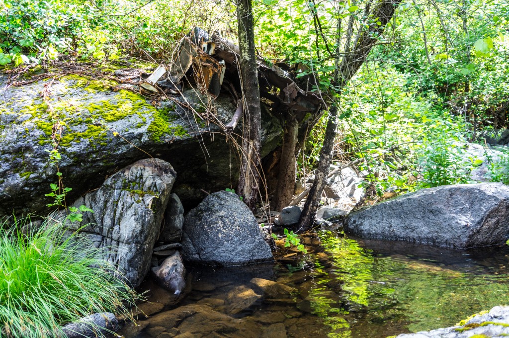
Roughly 10 feet south of the waterfall are remnants of a car that met its end.