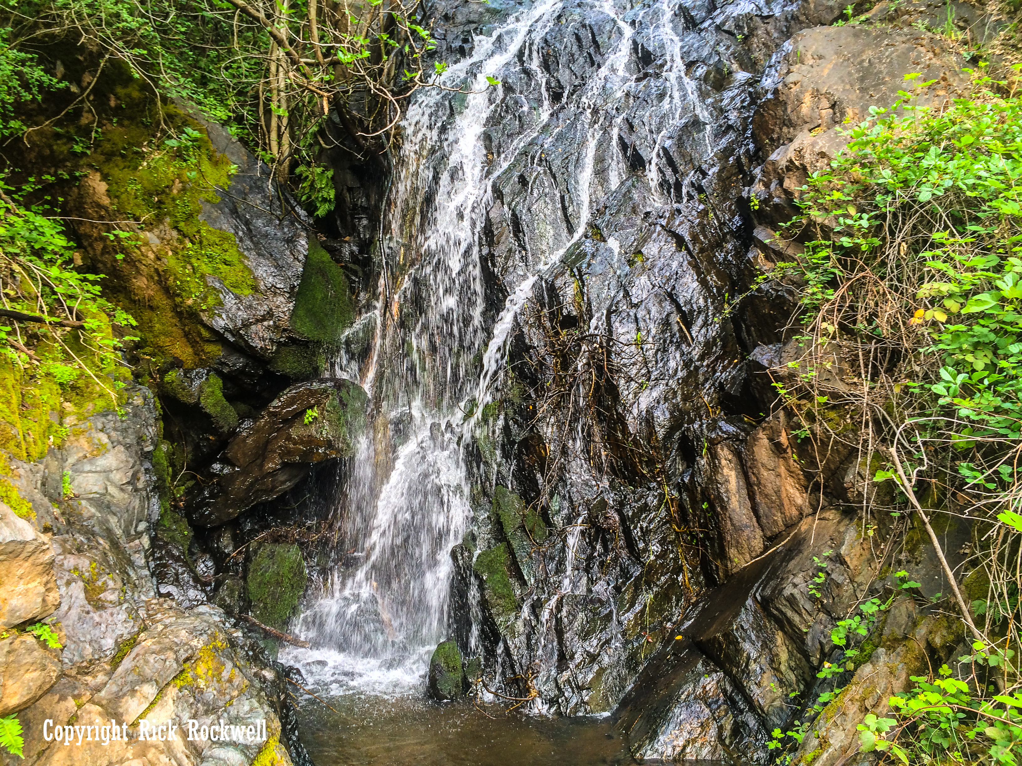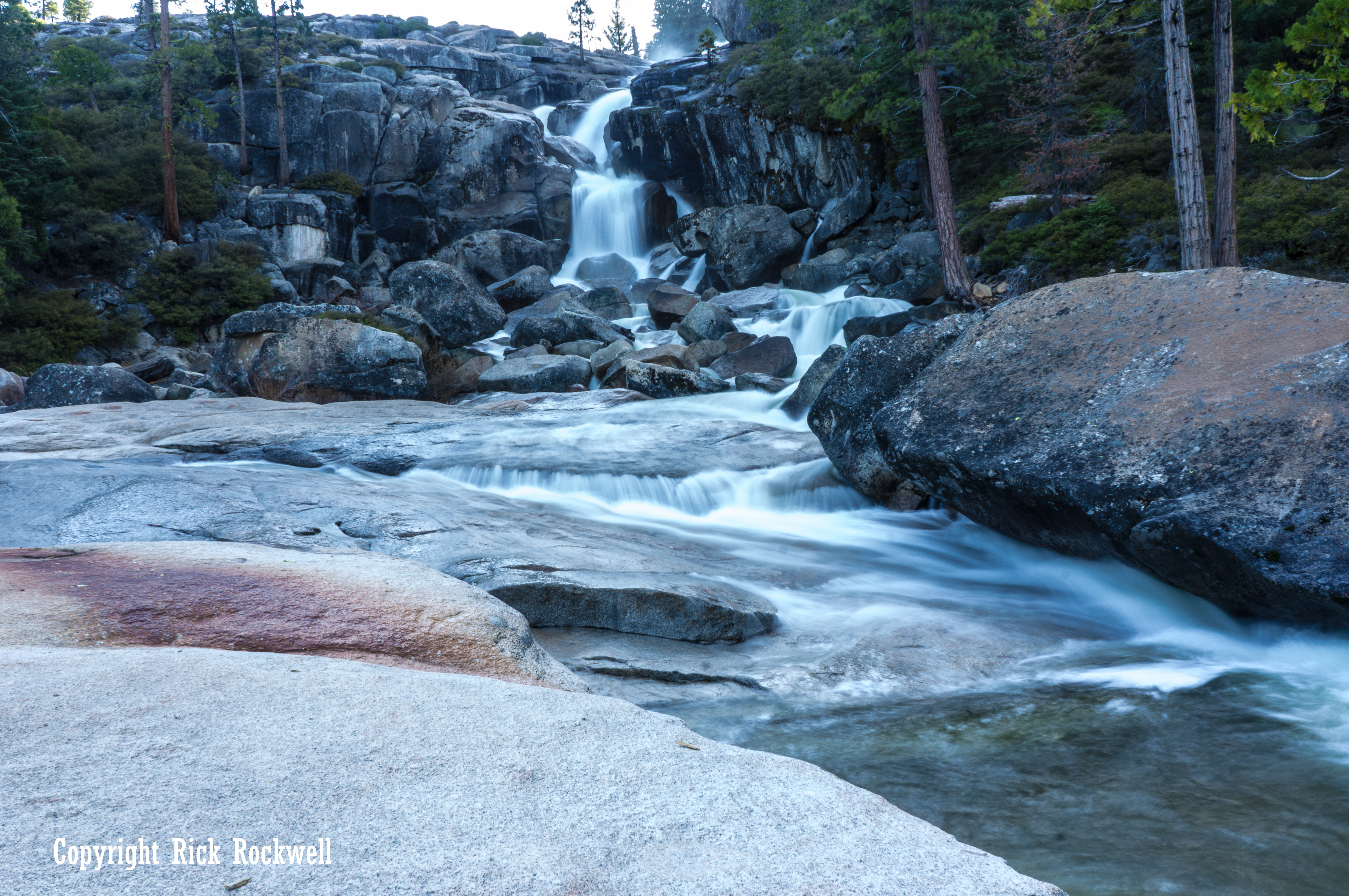
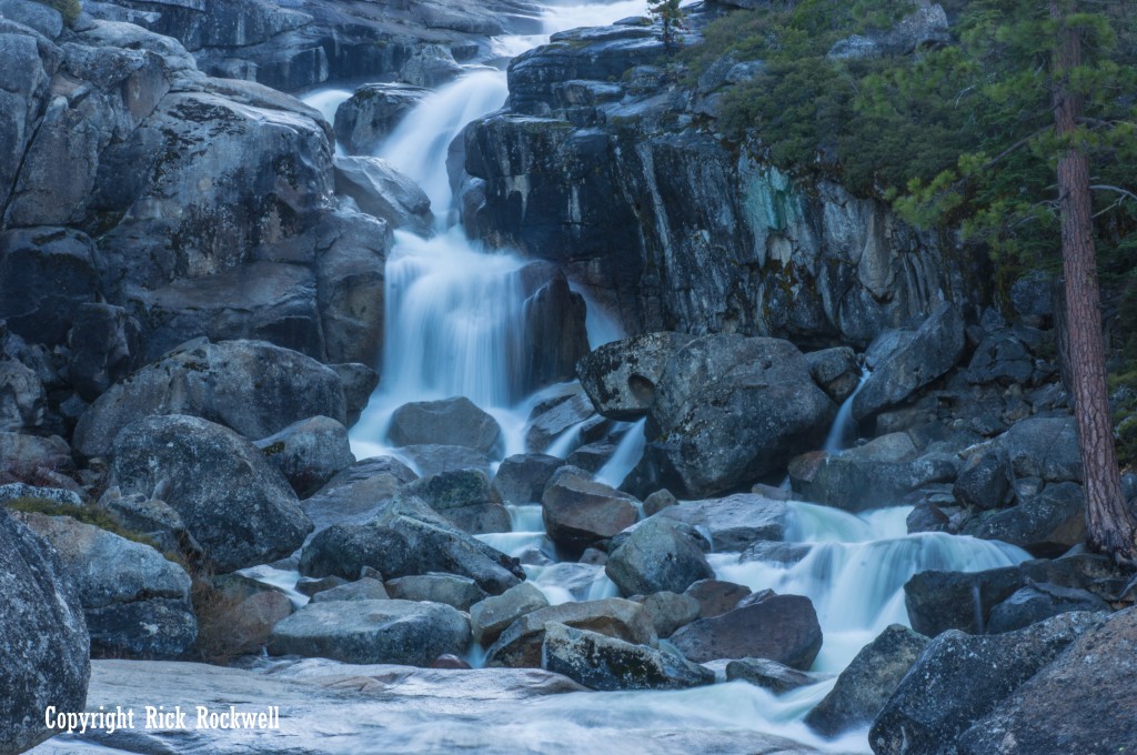
Lower portion of Bassi Falls
What to Expect on the Hike to Bassi Falls
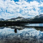
The hike to Bassi Falls changes depending on where you park.
The Forest Service describes the Millionaire Trail to Bassi Falls as 2 miles. Your total round-trip distance may vary depending on current road access, where you park, and how much of the approach road you decide to walk.
Expect:
- A shorter hike if you reach the closer trail access
- A longer hike if you park earlier due to road conditions
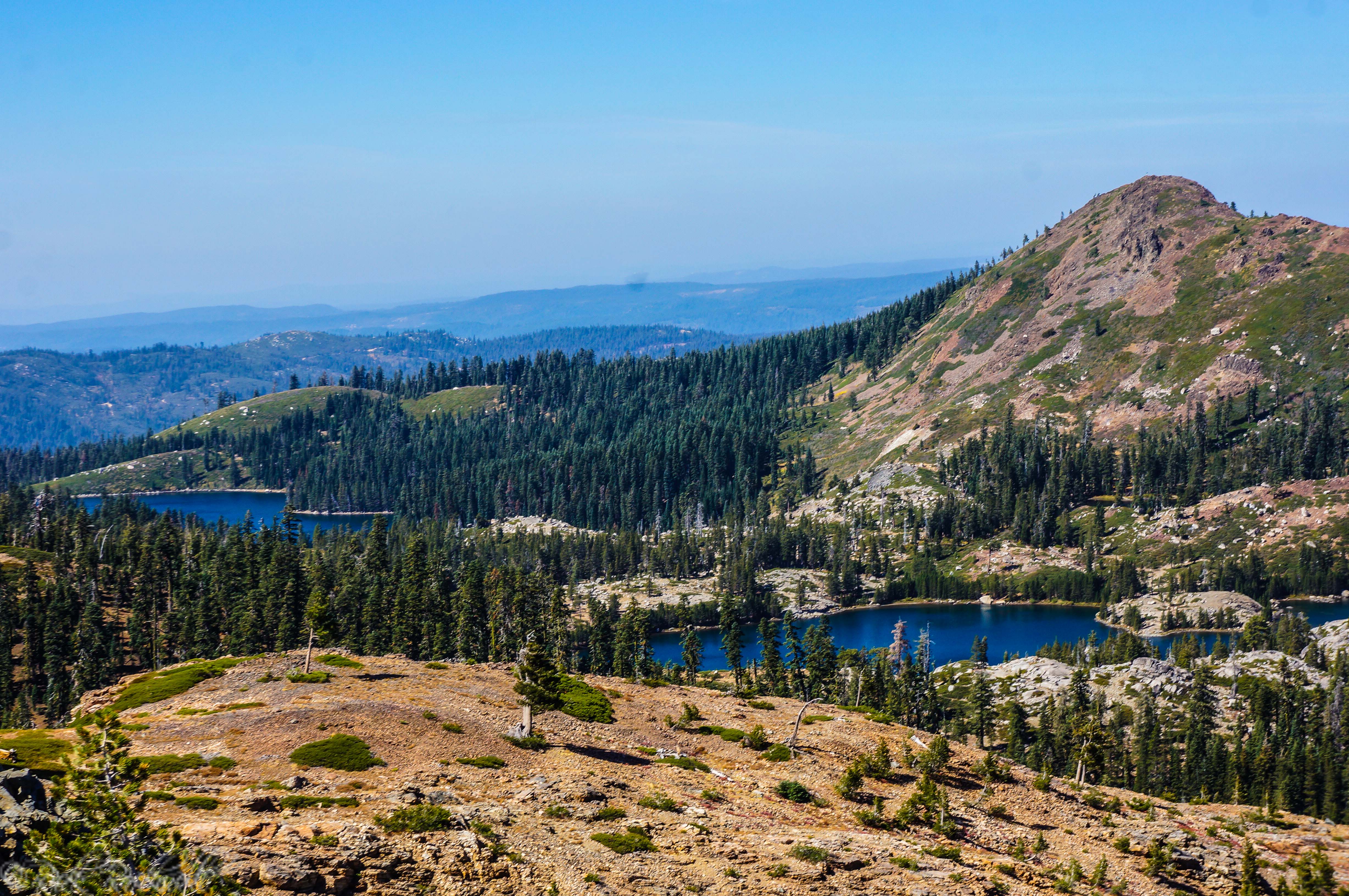
- Lightly defined sections of trail in places
- A mix of dirt path, forest, and exposed granite
- Open views as you approach the falls
- Shared trail use with hikers, equestrians, and mountain bikes
During peak flow, you may hear the waterfall before you fully reach it. Still, use your map and the established route rather than treating the sound of the water as your navigation plan.
Some sections become less obvious near the granite, and wandering off trail can increase erosion, damage vegetation, and make the area more confusing for other visitors.
Reaching the Waterfall
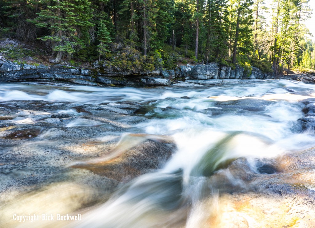
During peak season, Bassi Falls is roaring. It is not a straight vertical drop. The water tends to zig and zag down the granite, spreading across the rock in a way that gives the waterfall much of its character.
At high flow, the granite and boulders become part of the scene, with water rushing around and over the rock. The forest setting adds to the beauty, making Bassi Falls feel more remote than the relatively short hike might suggest.
There are routes that allow you to explore above the falls, but use caution. One route follows steeper terrain near the waterfall and is only recommended for experienced hikers who are comfortable with granite, exposure, and uneven footing. A safer route is usually away from the immediate waterfall edge, but even that should be treated carefully.
This is not a place to get casual around slick rock or fast water.
Hiking to the Top of Bassi Falls and Beyond
One of the benefits of visiting Bassi Falls during peak flow is that the stream above the waterfall adds to the adventure. In summer, this stream may be virtually dried up. During one of my spring visits, it was a flowing creek with some dangerous spots where the water was very aggressive.
Do not swim in the water during peak flow.
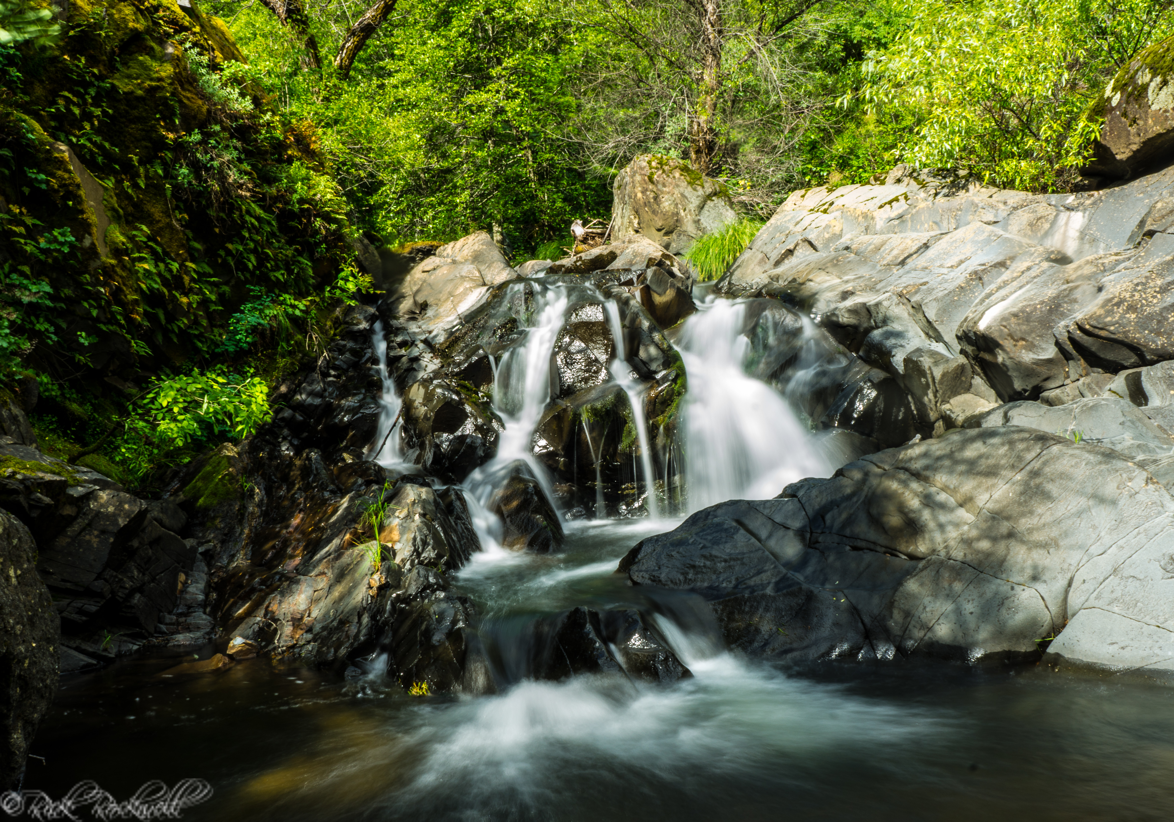
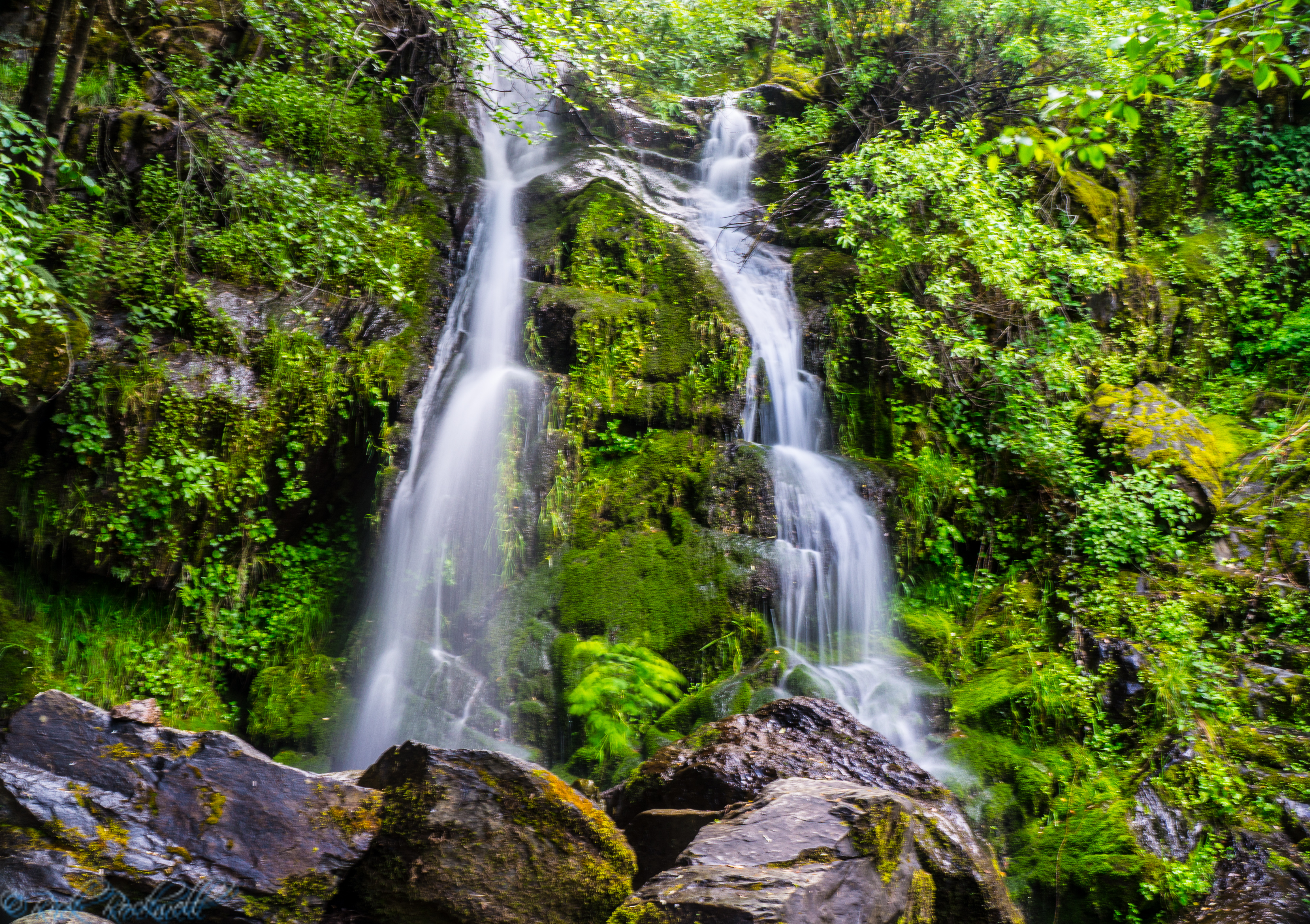
If you hike to the top of the falls and continue along the stream, you can extend your adventure and enjoy more of the landscape, including granite, rock-hopping areas, and smaller seasonal cascades. During strong flow, there may be more water features upstream.
Exploring beyond the main waterfall adds risk. The farther you go, the more you need to think about footing, weather, daylight, water crossings, and your route back.
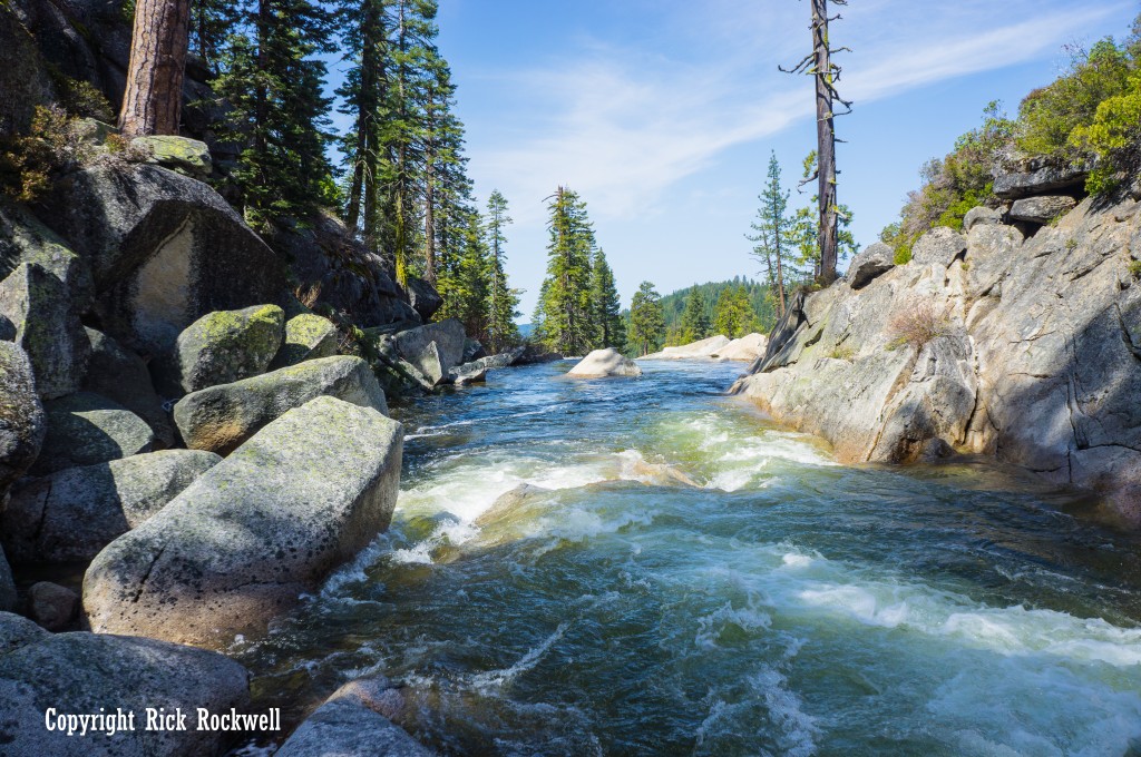
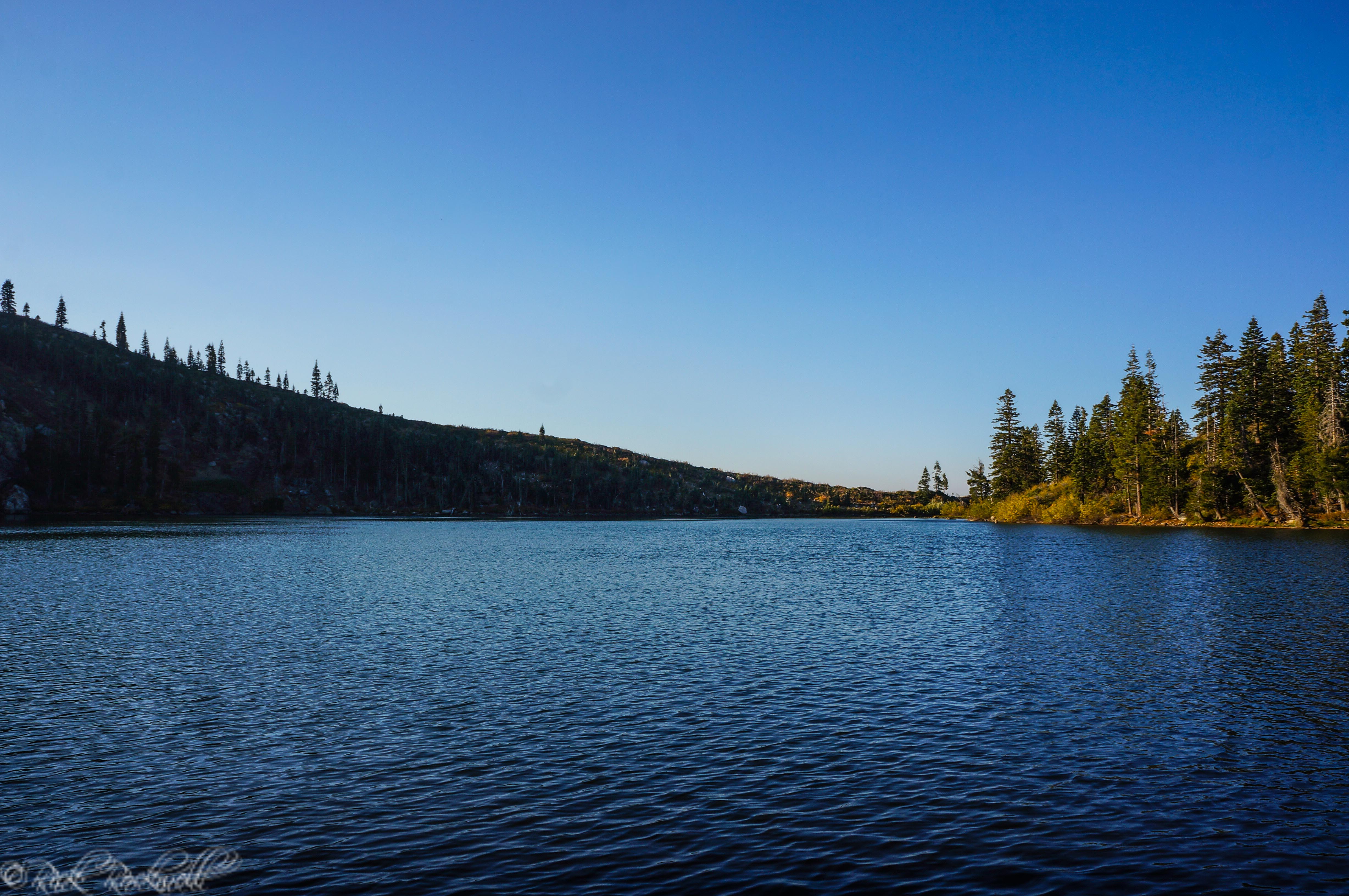
Up stream from top of Bassi Falls

Portion of the trail where it disappears