Tag: Crystal Basin
Twin Lakes Trail Near Wrights Lake: Complete Hiking Guide, Fees, Permits, and What to Expect
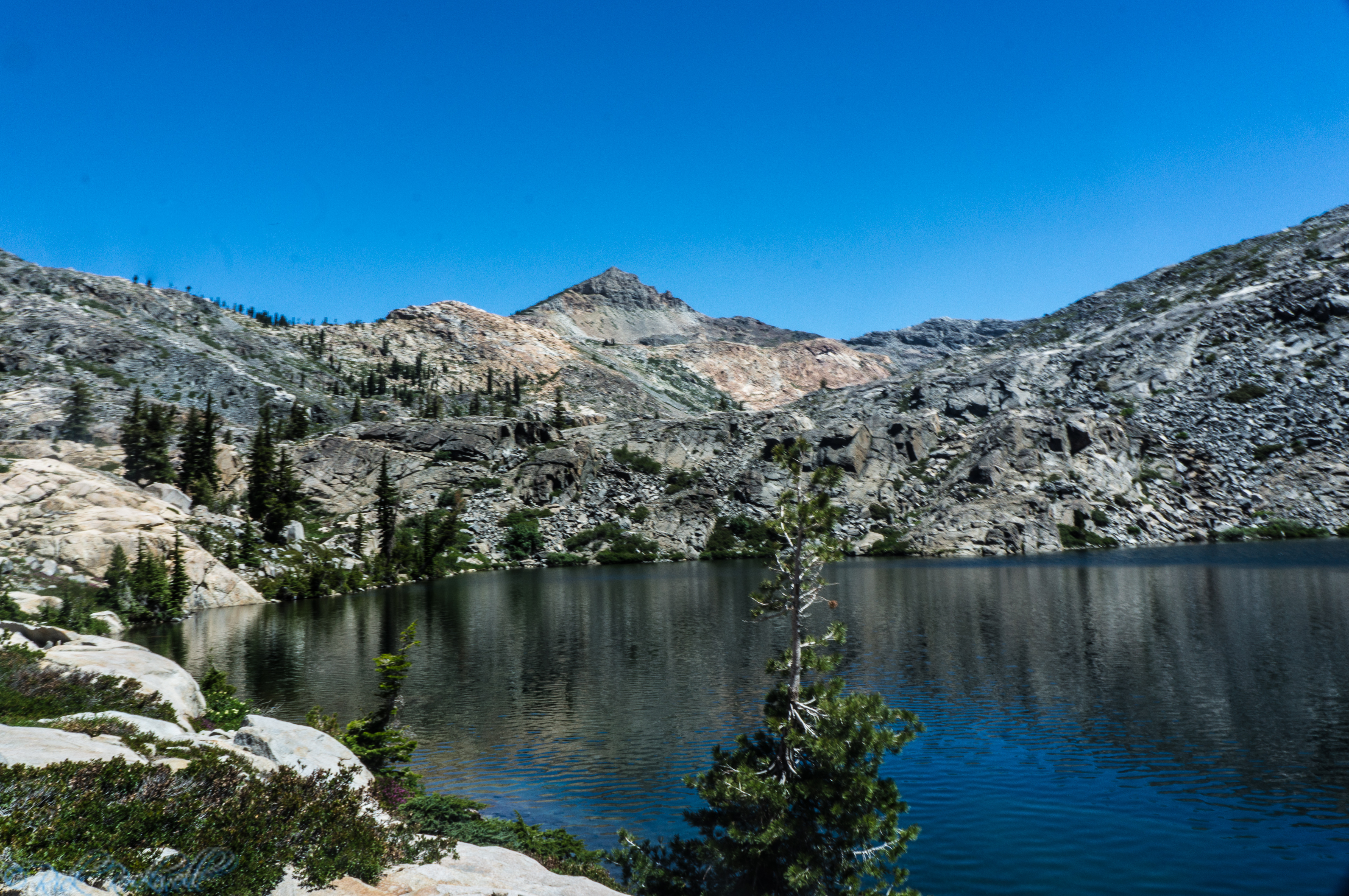
Twin Lakes Trail is one of the most popular trailheads in the entire Crystal Basin. Located near Wrights Lake, this trail gives hikers a straightforward path to reaching alpine lakes, granite landscapes, and Desolation Wilderness without starting from one of the busier Tahoe access points. Starting at the Twin Lakes Trailhead, this trail...
Ice House Reservoir: A Crystal Basin Escape with Classic Sierra Scenery
If you want a Sierra reservoir that feels easy to reach but still has a true mountain-lake setting, Ice House Reservoir is one of the better escapes in El Dorado County. Set in the Crystal Basin of Eldorado National Forest, this forested reservoir gives you a mix of camping, boating, fishing, swimming, paddling, and nearby …...
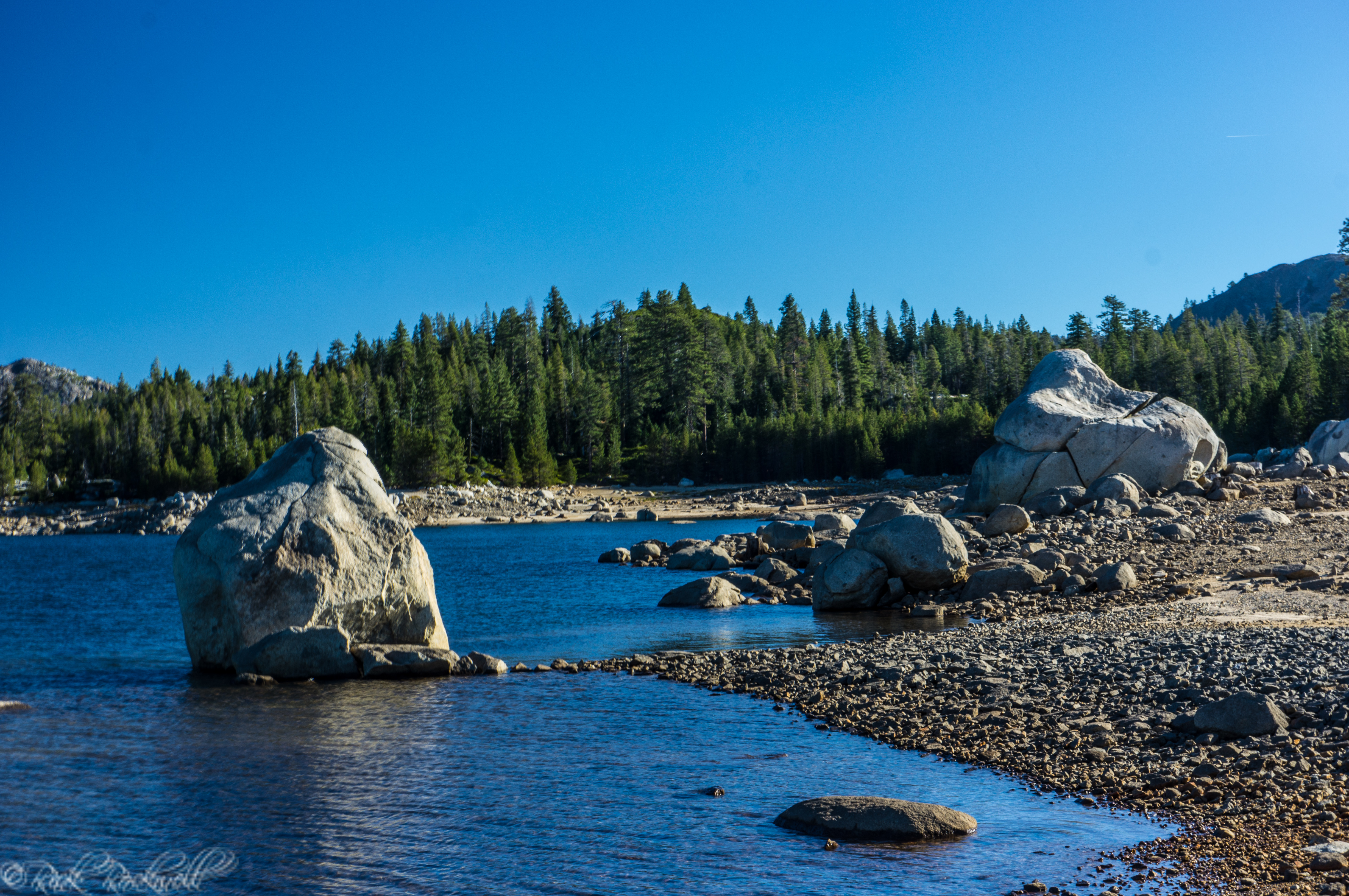
Loon Lake: Crystal Basin’s Gateway to Boating, Camping, and Wilderness Adventure
Loon Lake is one of those Sierra places that feels a little more adventurous the moment you arrive. Set high in the Crystal Basin, it mixes boating, fishing, camping, granite scenery, and access to bigger backcountry-style experiences in a way that makes it feel more rugged than the more family-friendly reservoir stops. Loon Lake is...
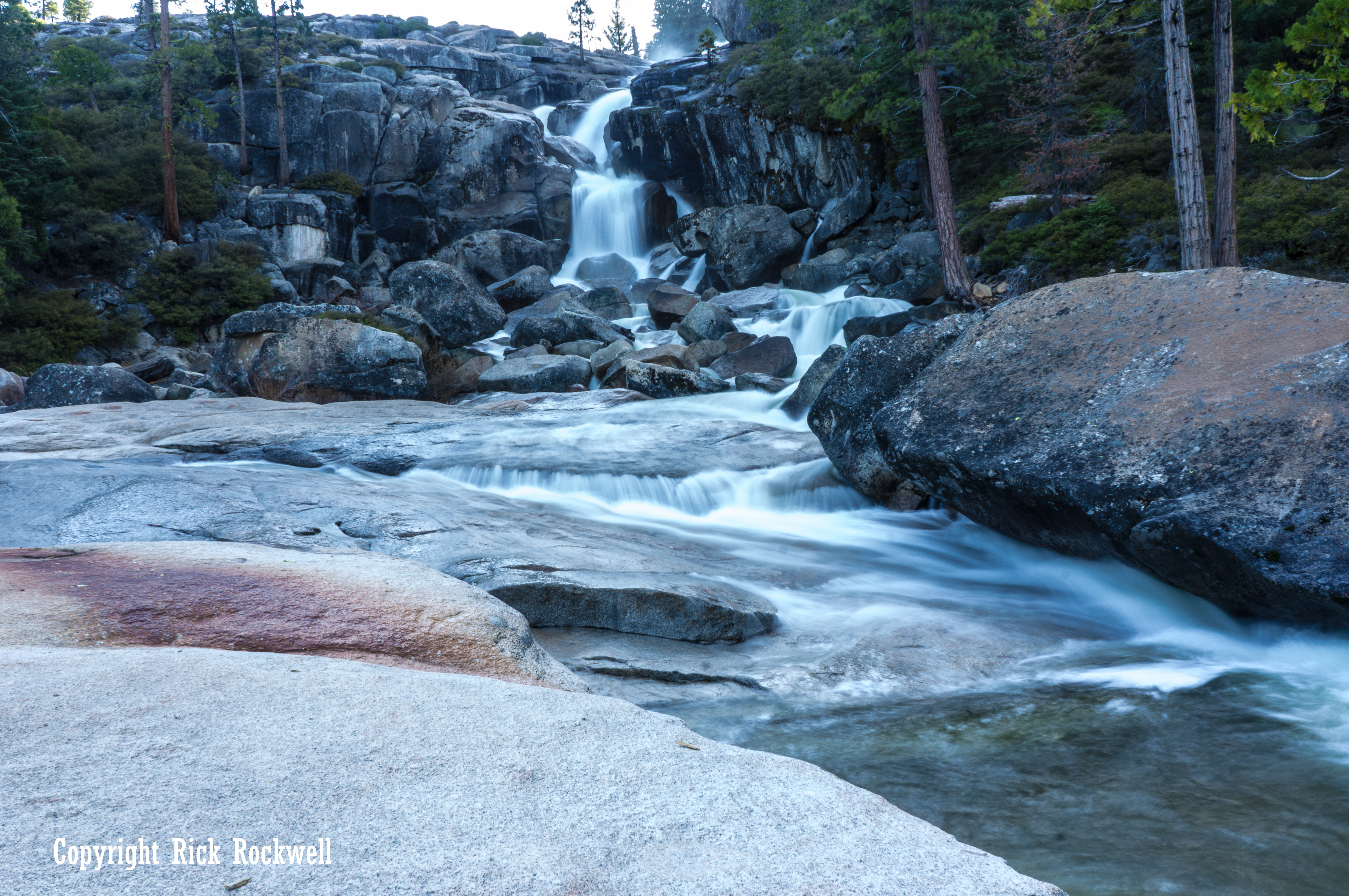
Bassi Falls: Hiking, Parking, Directions and the Best Time to Visit
Bassi Falls is one of those Sierra waterfalls where timing makes all the difference. Located in the Crystal Basin region of Eldorado National Forest, it can pour down the granite in a wide, powerful cascade during spring snowmelt, then shrink to barely a trickle later in the summer. That does not make Bassi Falls a …...
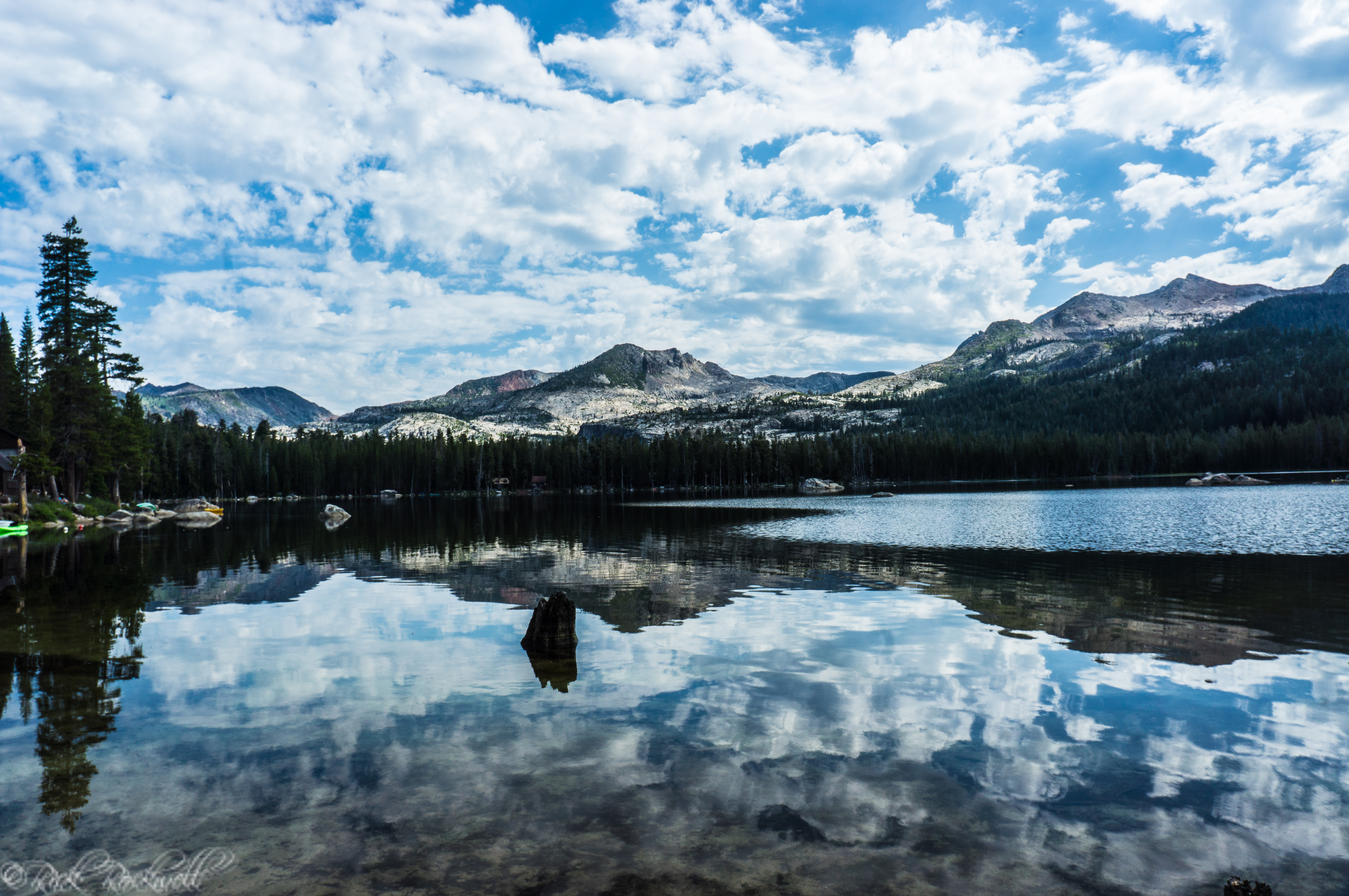
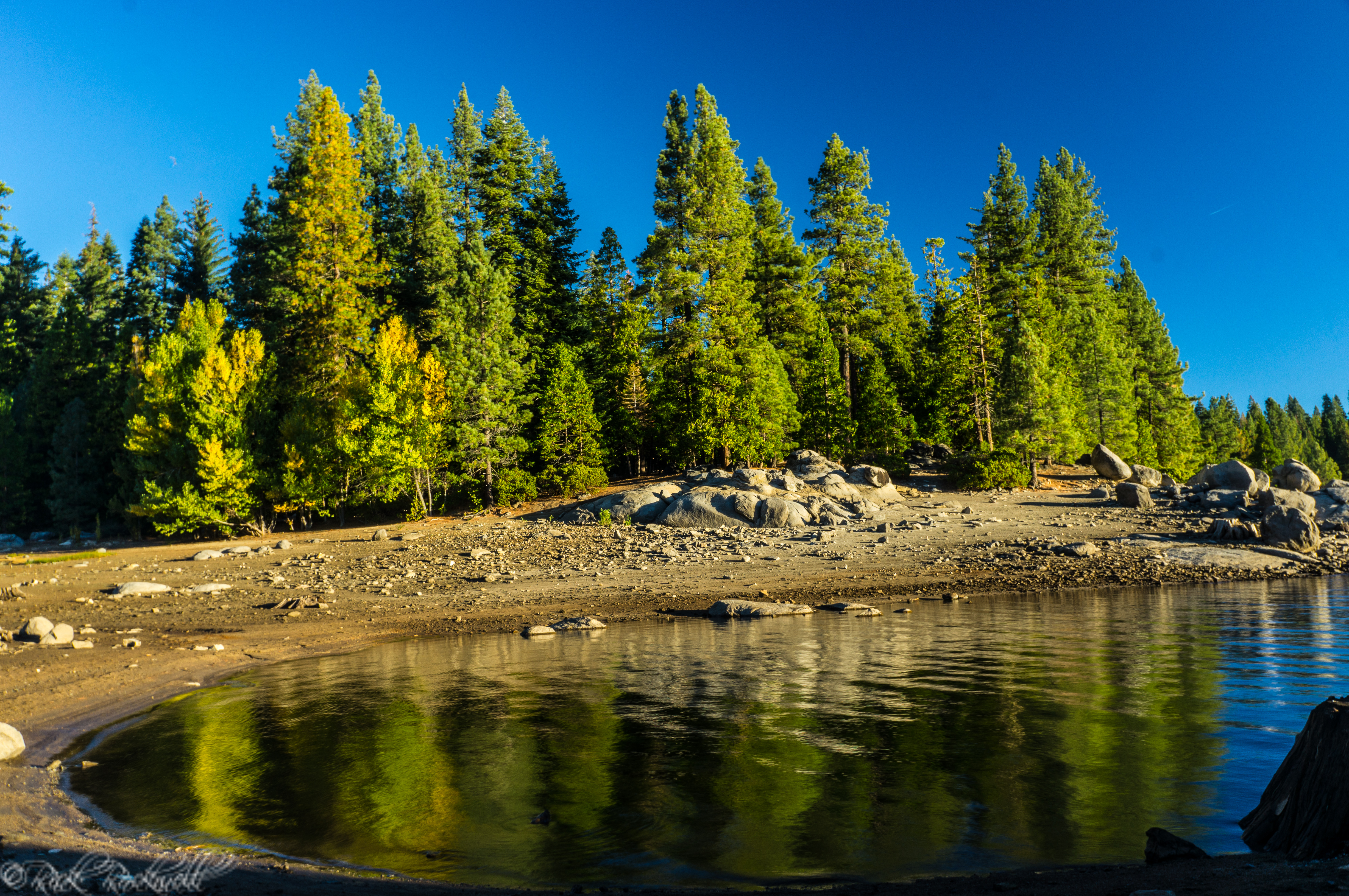
Wrights Lake, CA: Guide to Hiking, Camping, and Kayaking
Wrights Lake in El Dorado National Forest is one of the best alpine destinations in Northern California for hiking, camping, and kayaking. Located near Placerville at over 7,000 feet elevation, this scenic mountain lake offers easy access to Desolation Wilderness and a peaceful escape from the valley heat. Whether you’re planning a...

Horsetail Falls: A challenging hike to an impressive waterfall
The trailhead begins at 6000 feet in elevation and climbs up to 7200 feet in elevation at the top of the waterfall. The trail is only 1.5 miles to the base of the waterfall. However, it’s easy to lose when traveling over the granite slabs. Additionally, the hike to the top of the waterfall requires …...
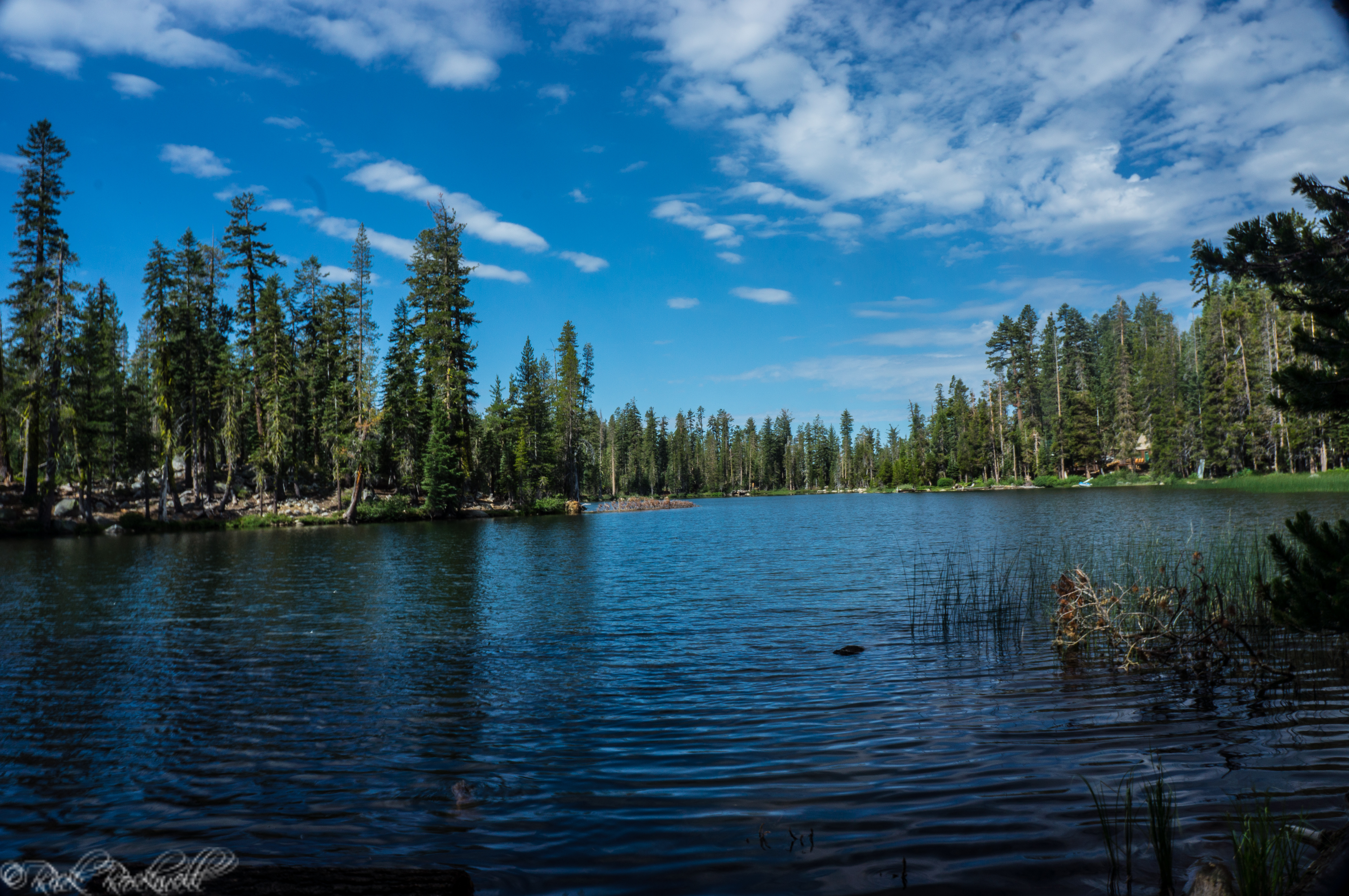
A quick look at Dark Lake
The lake is roughly at the 7000 foot elevation mark. It seems to be more popular for fishing rather than hiking or picture taking. Directions From Sacramento, head east on Highway 50 past Placerville. Roughly 4.5 miles east of the town of Kyburz is Wrights Road. Make a left onto Wrights Road and travel 8 …...
