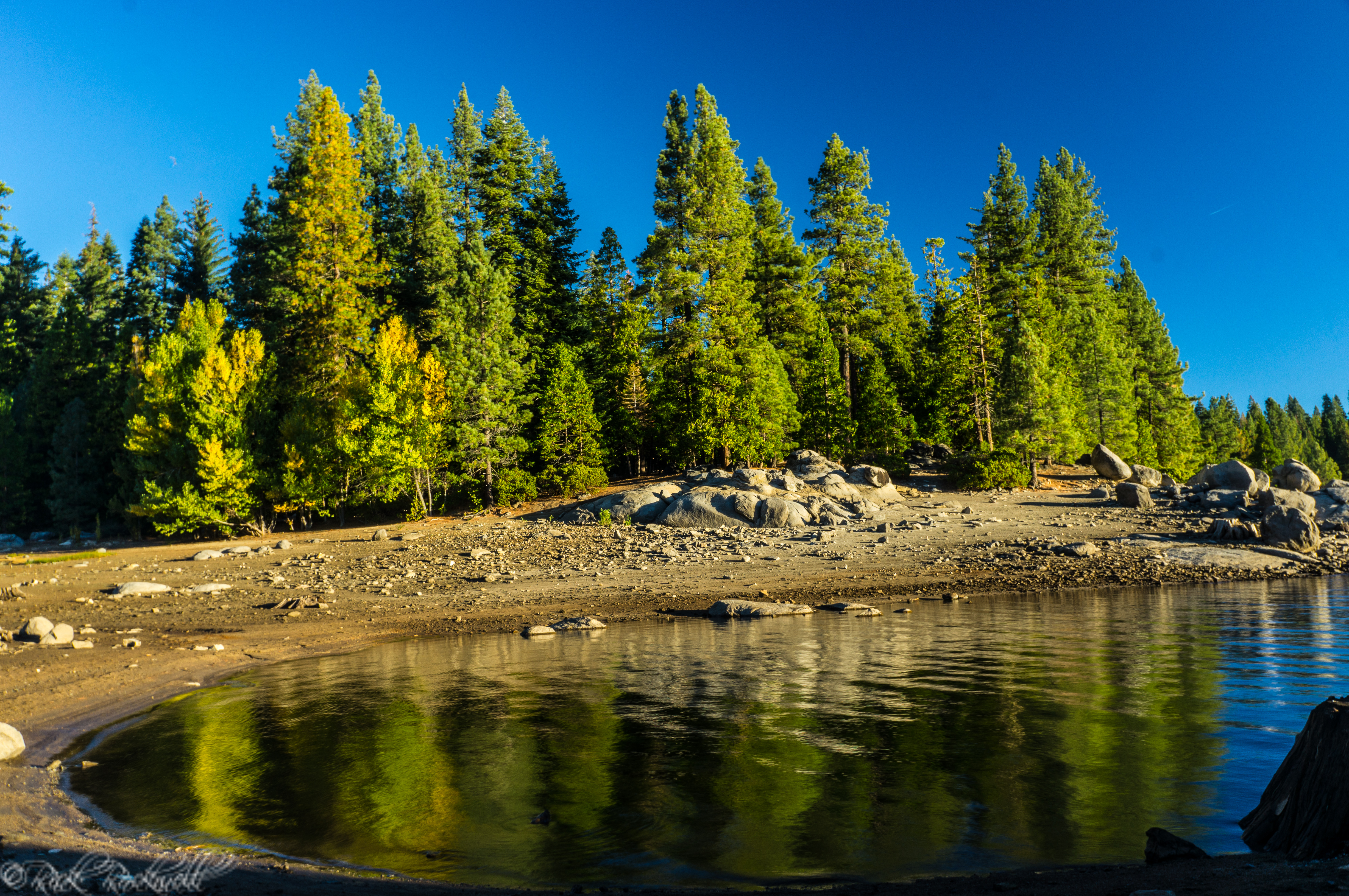
Wrights Lake
Wrights Lake Camping
Wrights Lake has two campgrounds: a main campground for general visitors and a separate equestrian campground designed for horse and packstock users.
Wrights Lake Campground is one of the easiest ways to turn a lake visit into a full Sierra getaway. The campground accommodates both tents and RVs and includes picnic tables, campfire rings with grills, accessible vault toilets, and a camp host, but it stays rustic with no hookups or resort-style amenities.
Camping at Wrights Lake is fairly straightforward on cost. The main Wrights Lake Campground is listed at $36 per night, and the Wrights Lake Equestrian Campground is also listed at $36 per night. It’s $72 per night for double. If you bring an extra vehicle, then there is a $5 nightly extra-vehicle charge,
Important Camping Limitations:
- No hookups — No electric, water, or sewer connections
- No showers — Primitive camping setup
- Limited or no potable water (verify before arrival) — Bring your own water to be safe
- Seasonal access — Typically open summer through early fall, depending on snow
Wrights Lake Cabins
Cabins are not available for rent. These are privately owned with most of the cabins being in the same families since the 1920’s. Reportedly, a longtime camper named George Smith was issued a permit to build the first cabin at Wrights Lake in the late 1920’s.
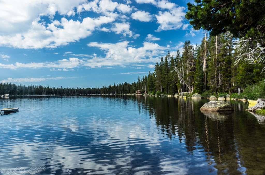
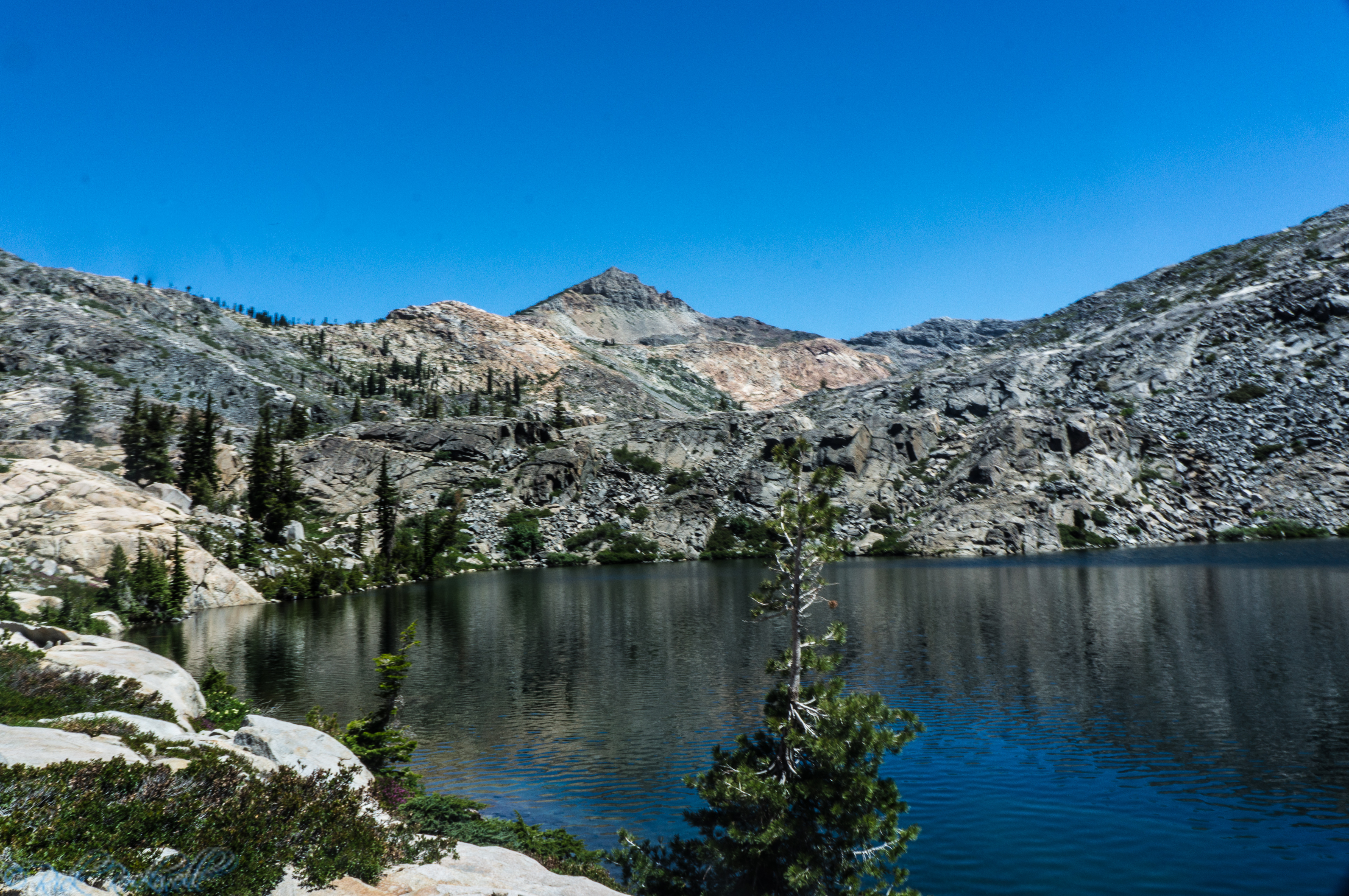
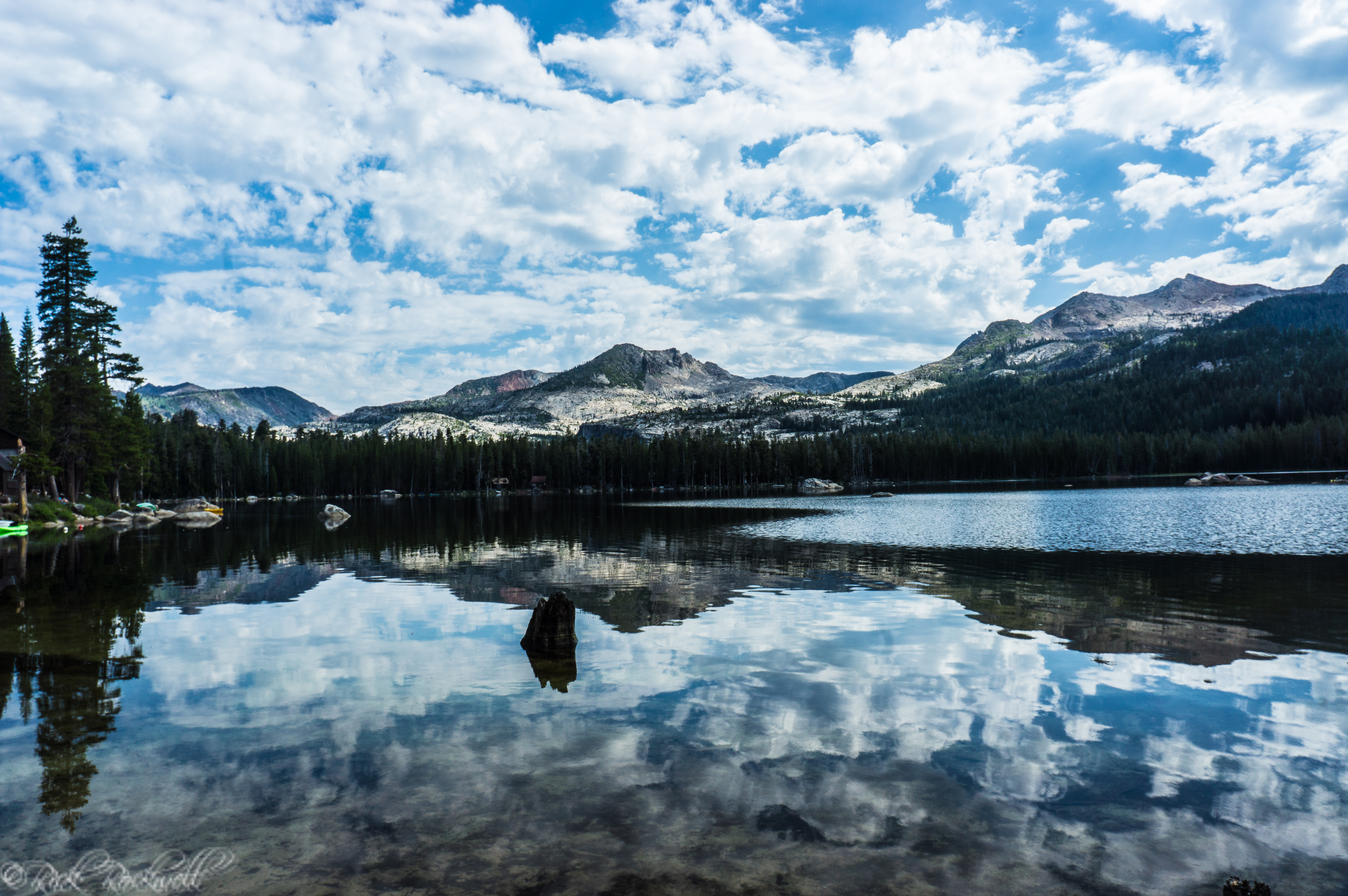
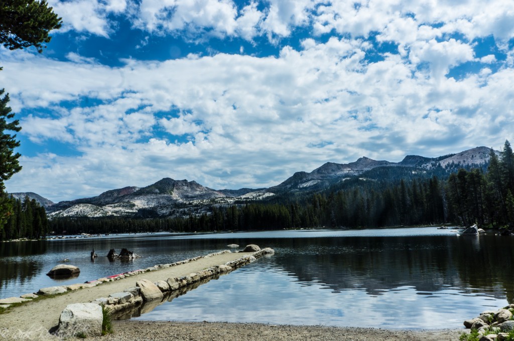
Another peaceful view of Wrights Lake.
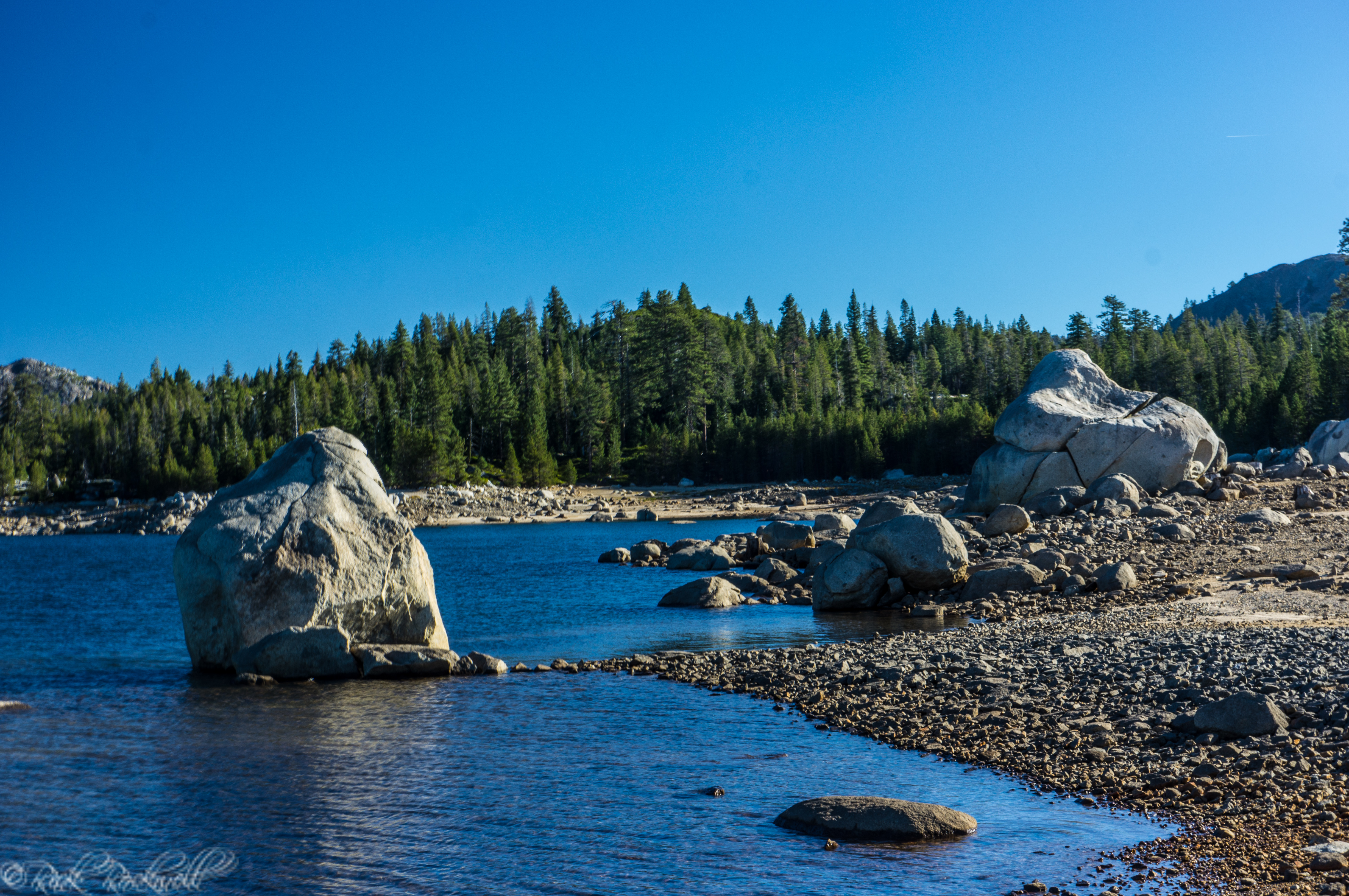
Wrights Lake Water Activities
Wrights Lake is ideal for calm-water recreation, especially since motorized boats are prohibited. This means that the calmer waters provide a wonderful canvas for kayaking, paddle boarding, canoeing, and swimming.
Fishing at Wrights Lake
Fishing is one of the quieter pleasures at Wrights Lake, where anglers mainly target trout in an alpine setting that feels more relaxed than many larger Sierra reservoirs. Current California stocking information shows Wrights Lake supports rainbow trout and brown trout, and the easy shoreline access near the campground makes it a good choice for a simple morning or evening outing.
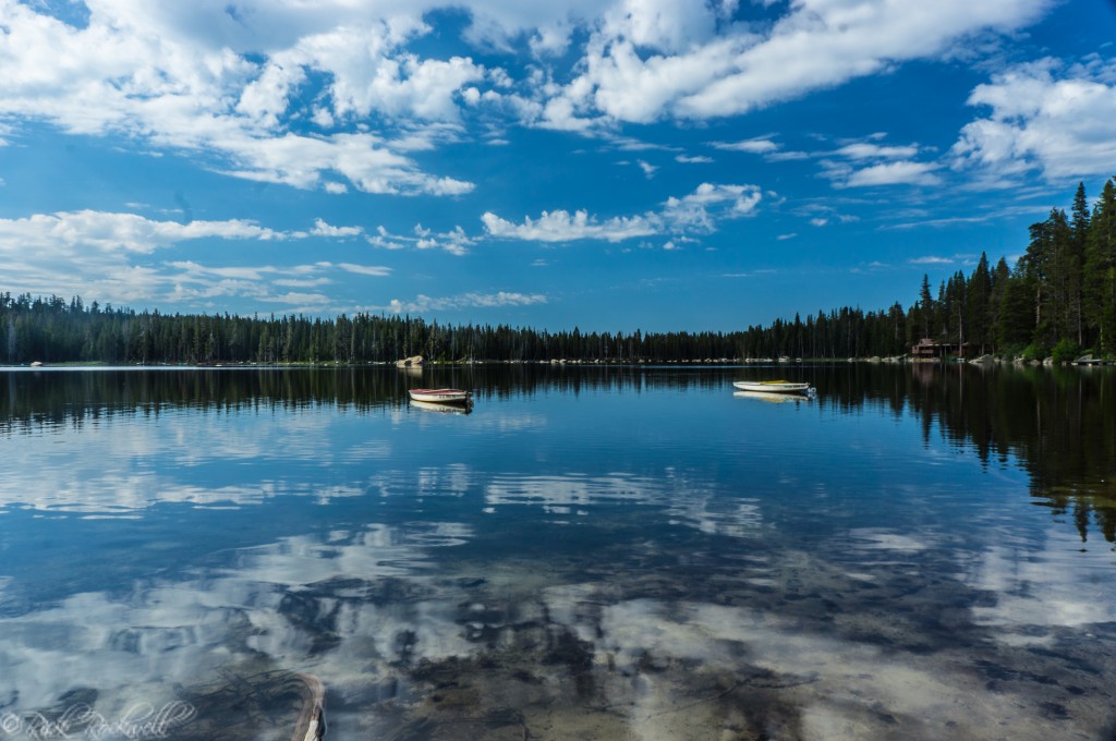
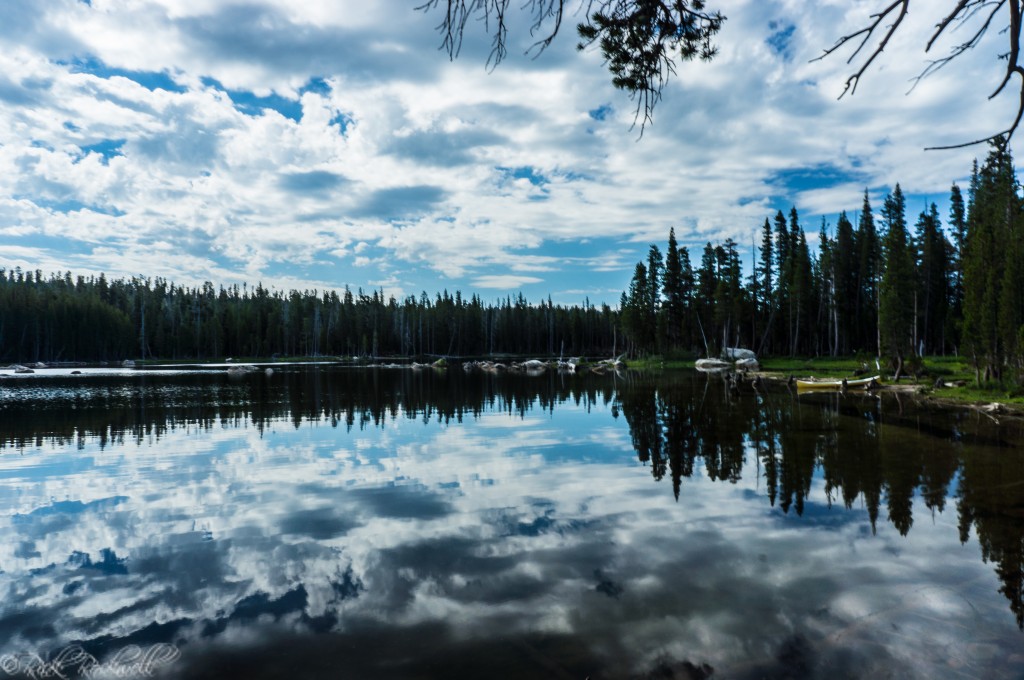
Calm morning waters make Wrights Lake ideal for kayaking and paddleboarding.
Wrights Lake Points of Interest
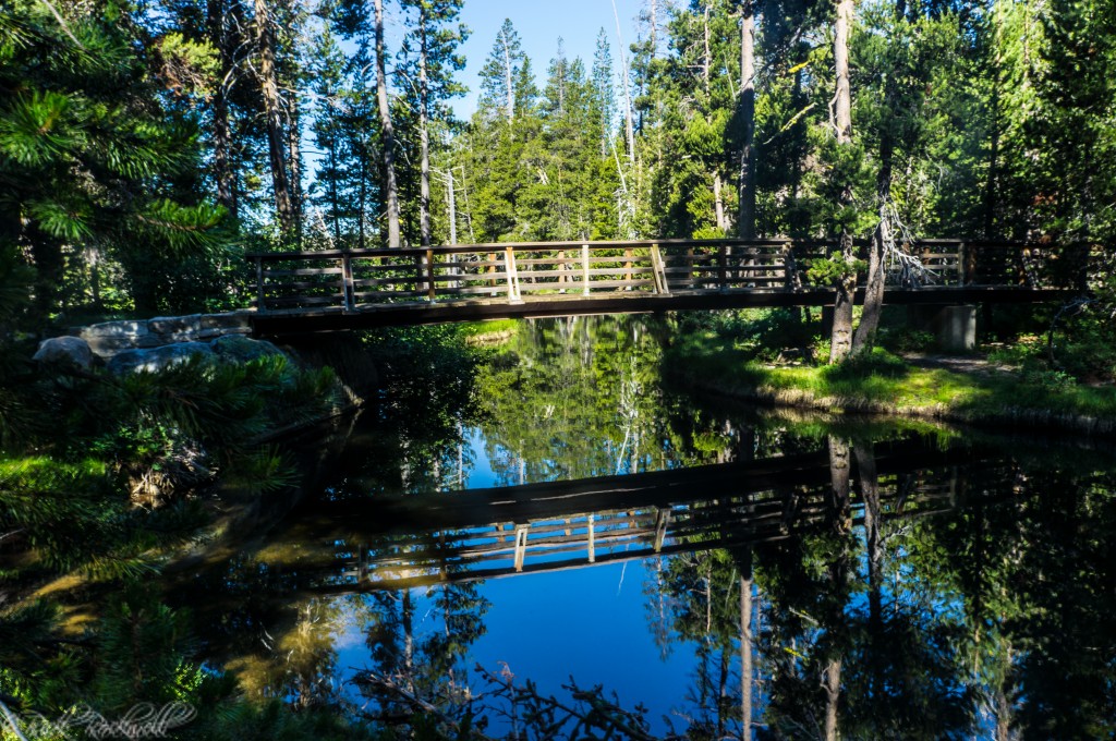
Chappell Crossing
This cute little bridge is located near the beginning of the Twin Lakes trailhead. The stream from Wrights Lake runs underneath this bridge and over to the meadow. The trees provide a backdrop to an overall picturesque location.
The name of this area is in honor of Roger Chappell also lovingly known as “Ranger Roger.” According to MTDemocrat.com, Chappell was a teacher for over 30 years in the Pollock Pines School District and was a dedicated worker for the U.S Forest Service during the summers. He taught many kids and families all about the area. Roger died in May of 2011, at the age of 73. His passion and influence in the Wrights Lake area are immeasurable and he will forever be honored with this tribute.
Chapel Crossing
Wrights Lake Meadow
Located on the north side of the lake, this wide open meadow provides stunning scenic views with the Sierra mountain peaks in the background. It’s just a few hundred yards past Chappell Crossing along the Twin Lakes trail.
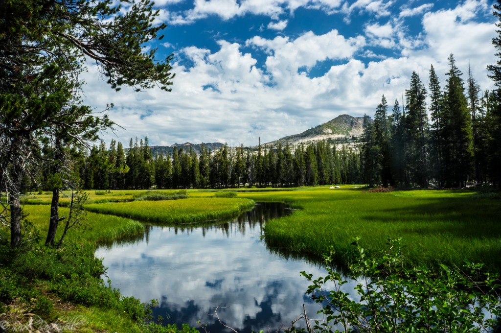
Wrights Lake Meadow
Why Visit Wrights Lake, California?
Wrights Lake is one of Northern California’s most underrated outdoor destinations. With its combination of alpine scenery, accessible trails, and peaceful camping, it’s an ideal spot for both day trips and weekend getaways.
I’ve made multiple trips to Wrights Lake over the years and its beauty never fades. If you’re looking for a place to hike, paddle, and unwind without the crowds of Tahoe, Wrights Lake is the right choice.
Canoe and Kayak Dock for Wrights Lake