Author: Rick Rockwell
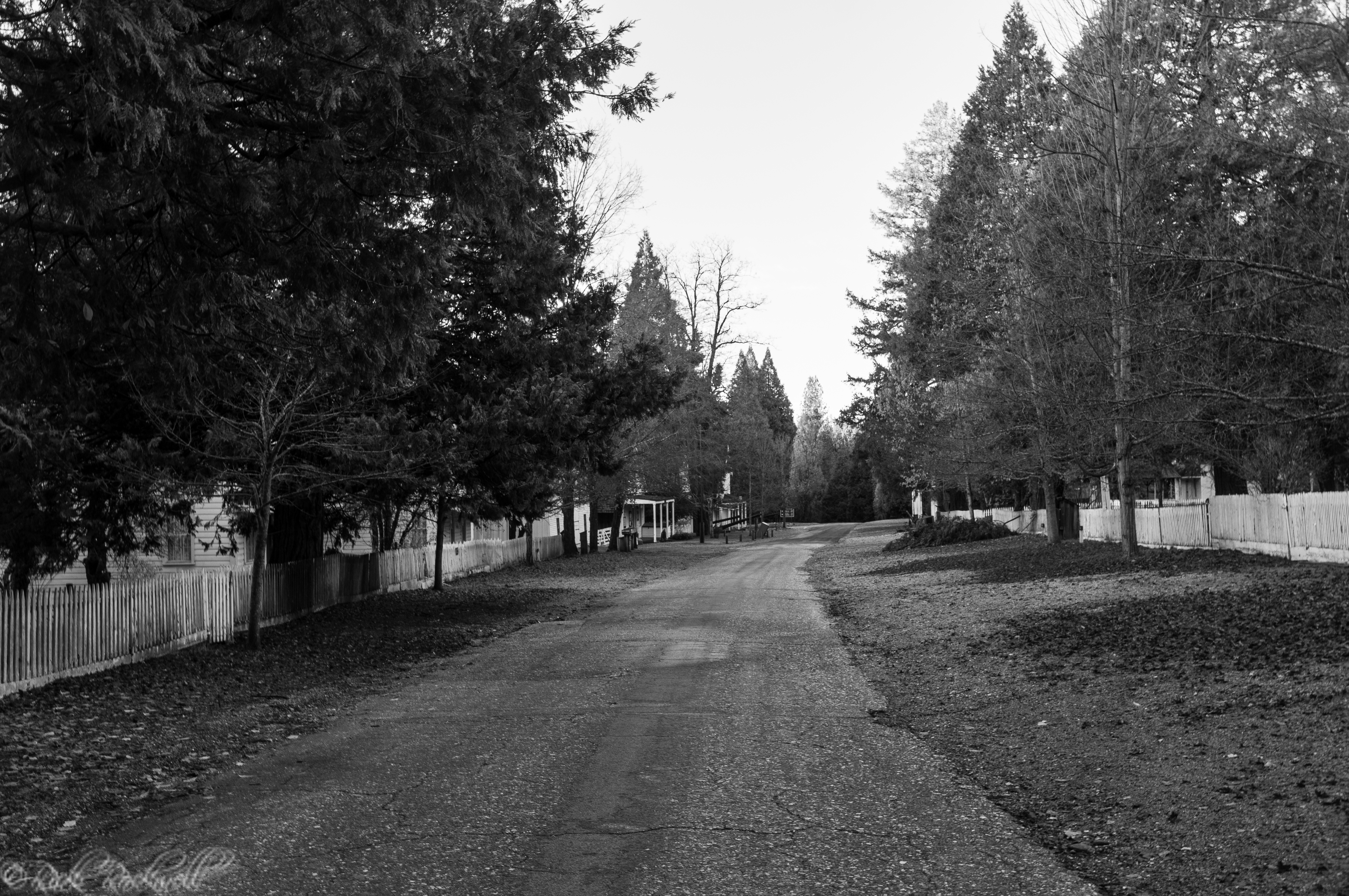
North Bloomfield: a charmingly preserved ghost town
History According to local lore, in 1851, after three miners discovered gold nuggets on the San Juan Ridge, one of the miners bragged about the findings at a local saloon and was unknowingly followed by other prospectors to the discovery site. Unfortunately for the followers, they didn’t find any gold and in disgust, named...

Malakoff Diggins State Park: a historical mining region with adventure and a ghost town
Park Hours of Operation The State Park is open every day from Sunrise to Sunset. The museum, the buildings and tours of the town are only open during the summer season between Memorial Day and the end of September. There is an $8 fee per vehicle during the peak season. Contact number: 530-265-2740 Directions …...
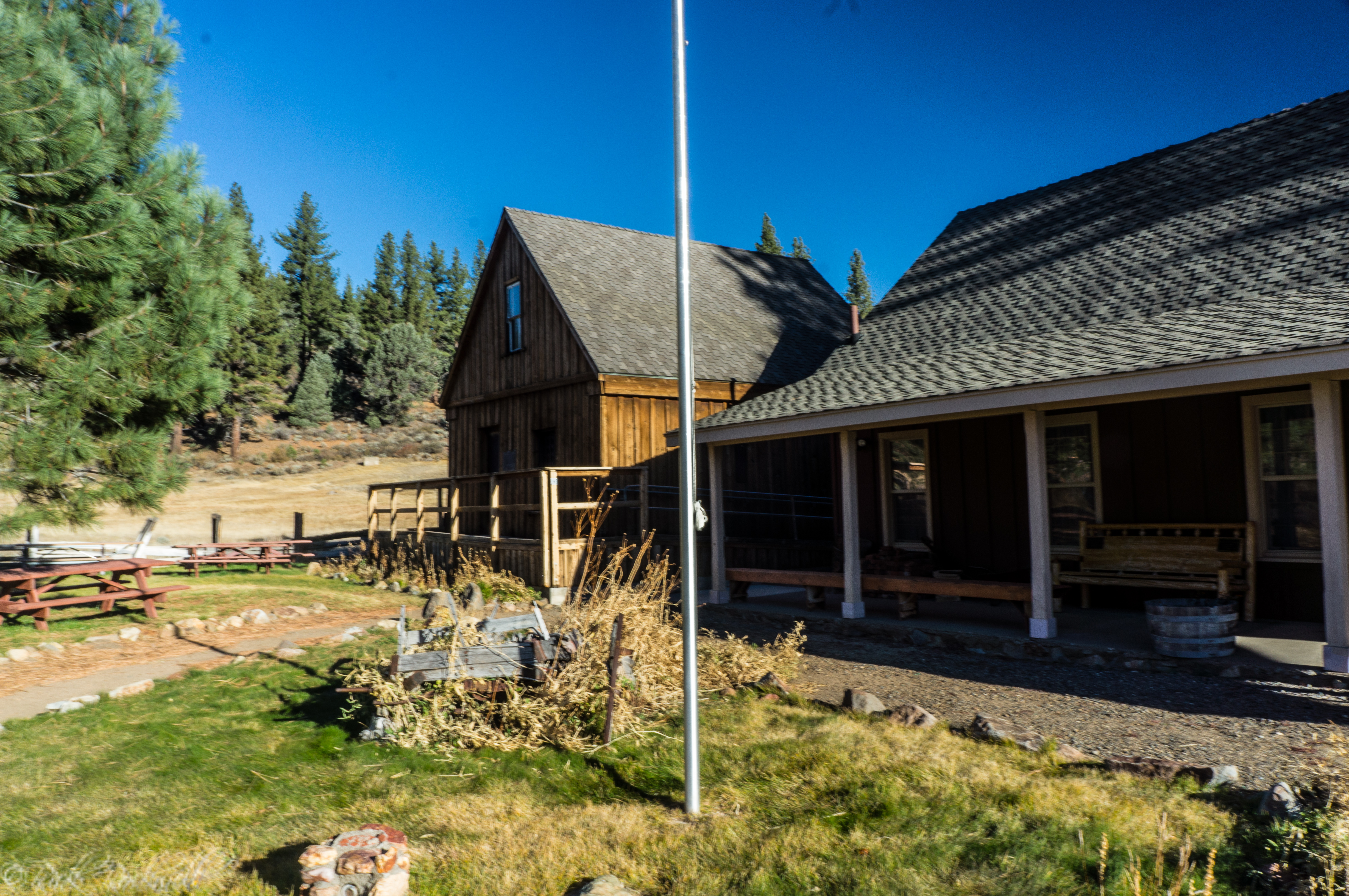
Alpine County Historical Complex: a saunter through the region’s history
Location and Hours The complex is located at 1 School Street off of Montgomery Street about a half mile from the centre of town. The complex is opened from 11am to 4pm Thursday through Monday. Additionally, it’s only opened from Memorial day through the end of October. The Museum The museum has a unique blend …...
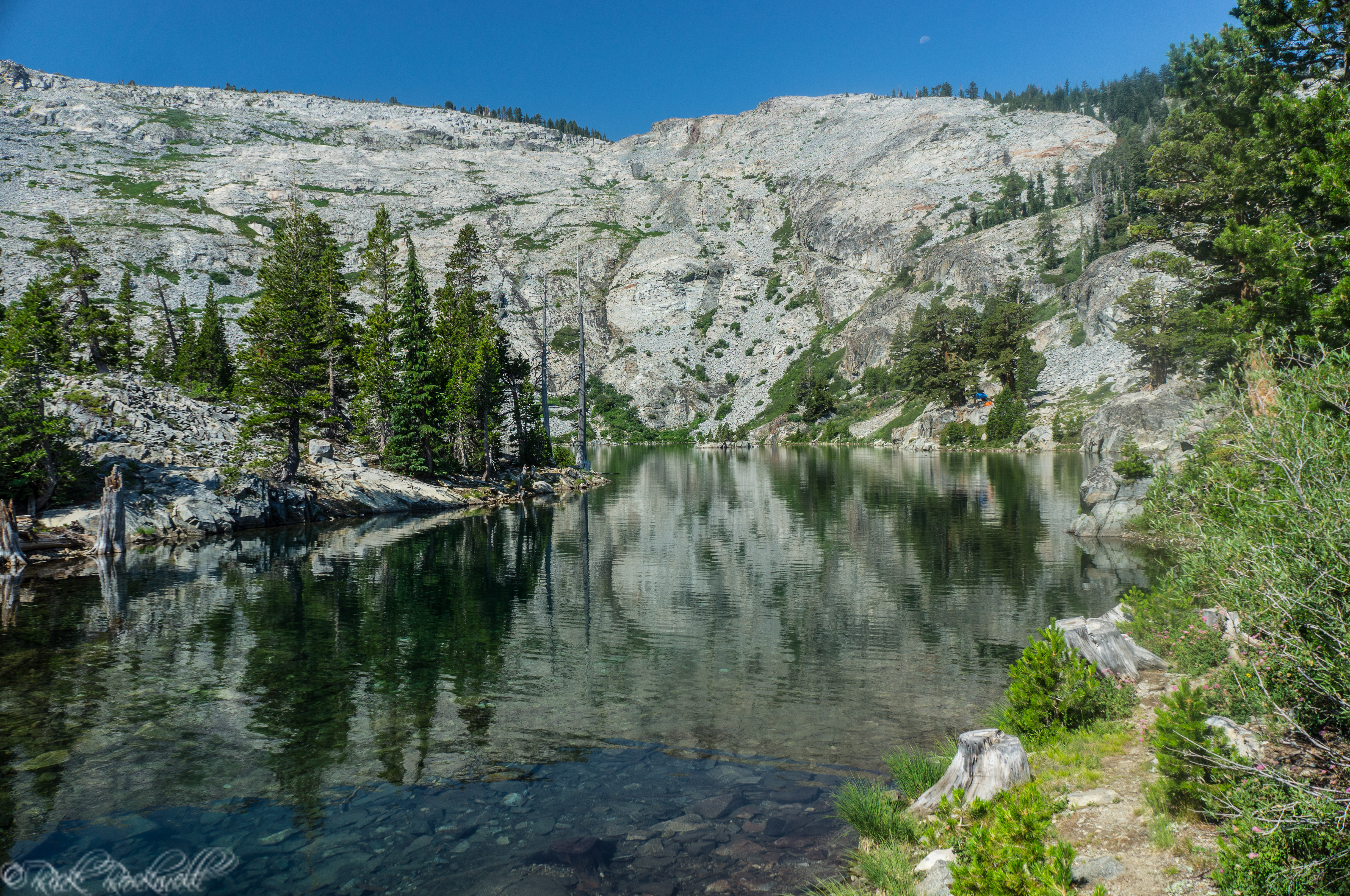
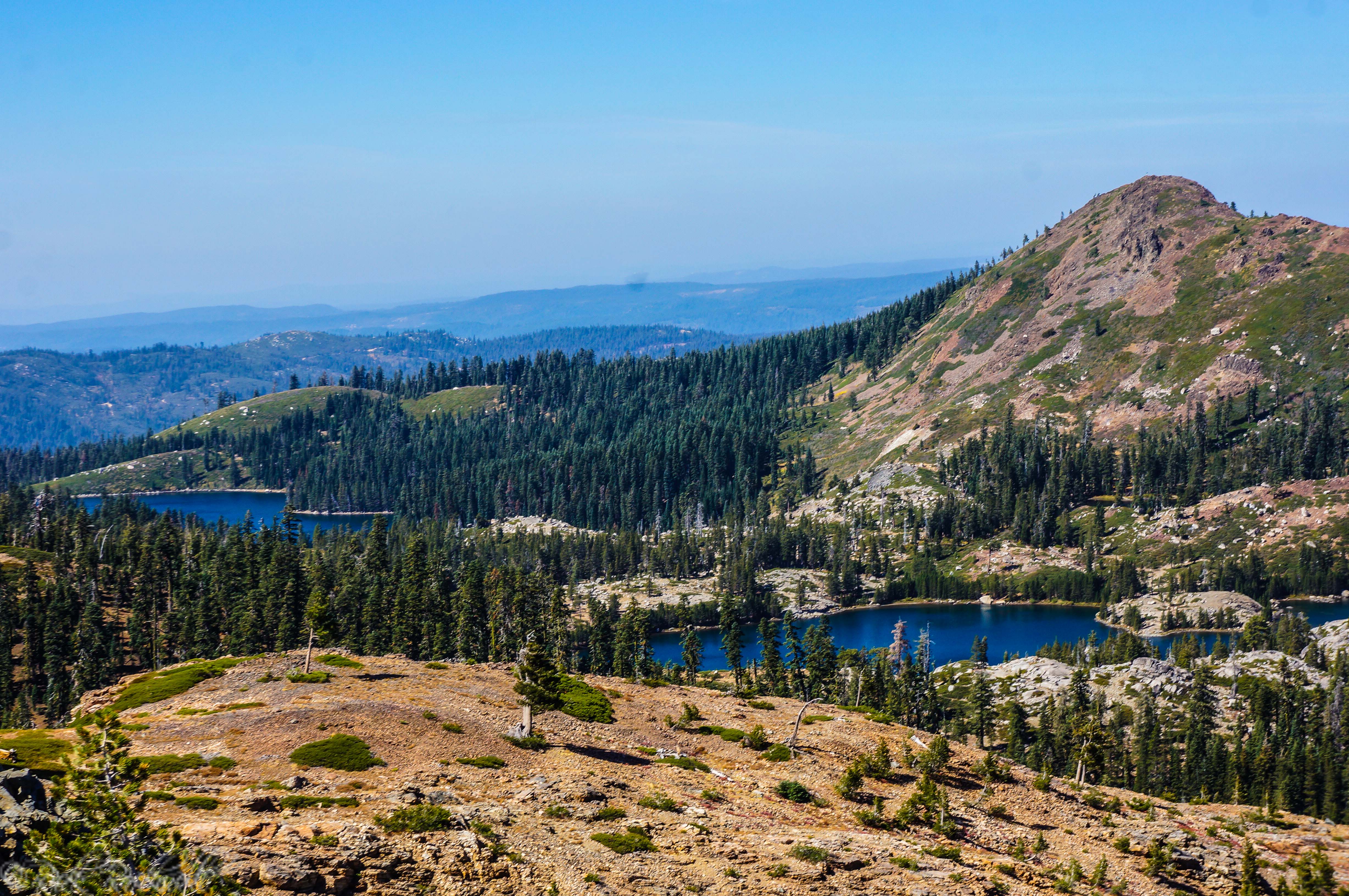
Ralston Lake: Ralston Peak’s little wading pool
Ralston Lake sits at about 7800 feet in elevation and is located roughly 1.7 miles northwest of Upper Echo Lake. Directions Take Highway 50 East from Sacramento almost 50 miles before taking a left onto Jonson Pass Road. You will stay left on this road until it dead ends at Lower Echo Lake. Trailhead The …...
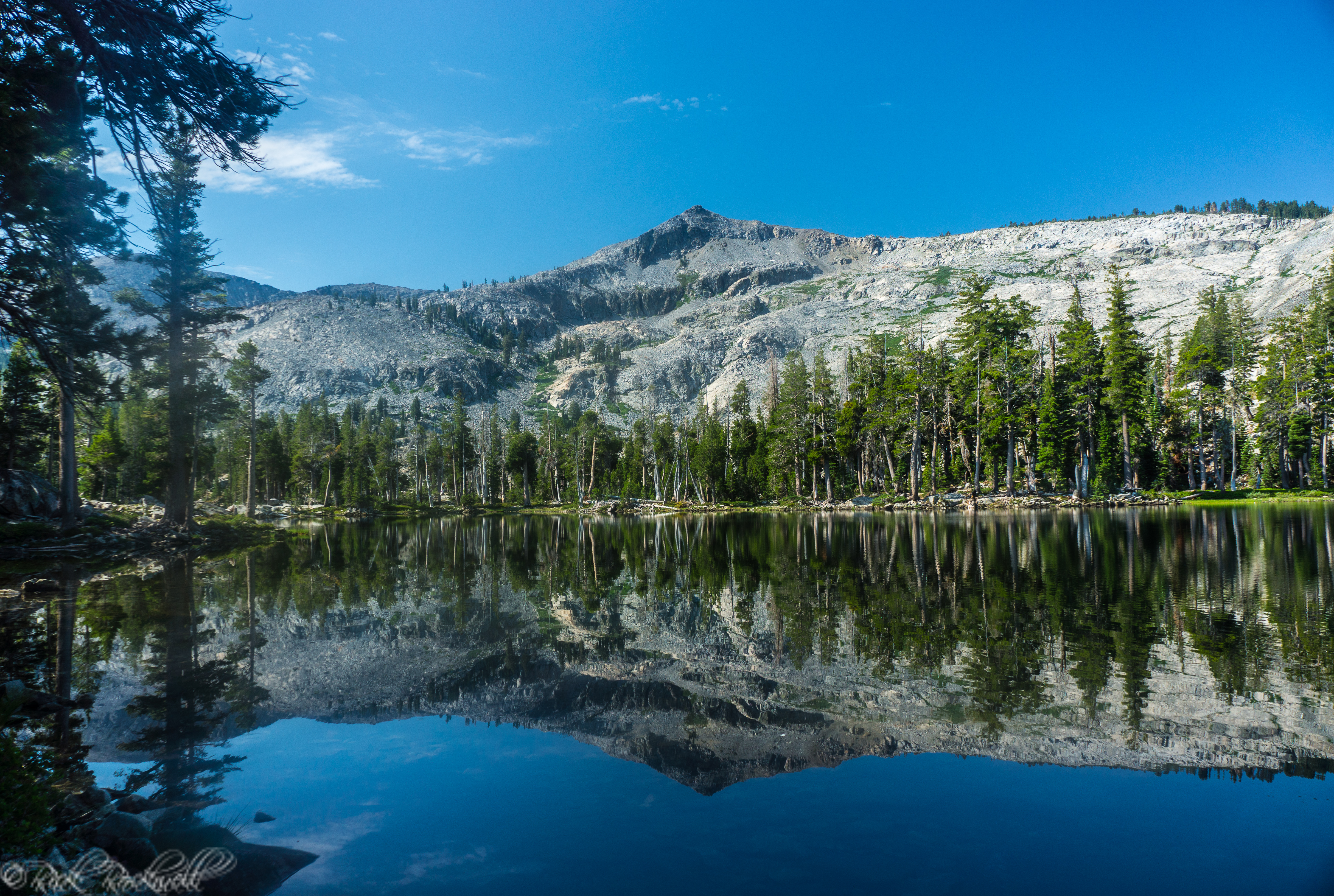
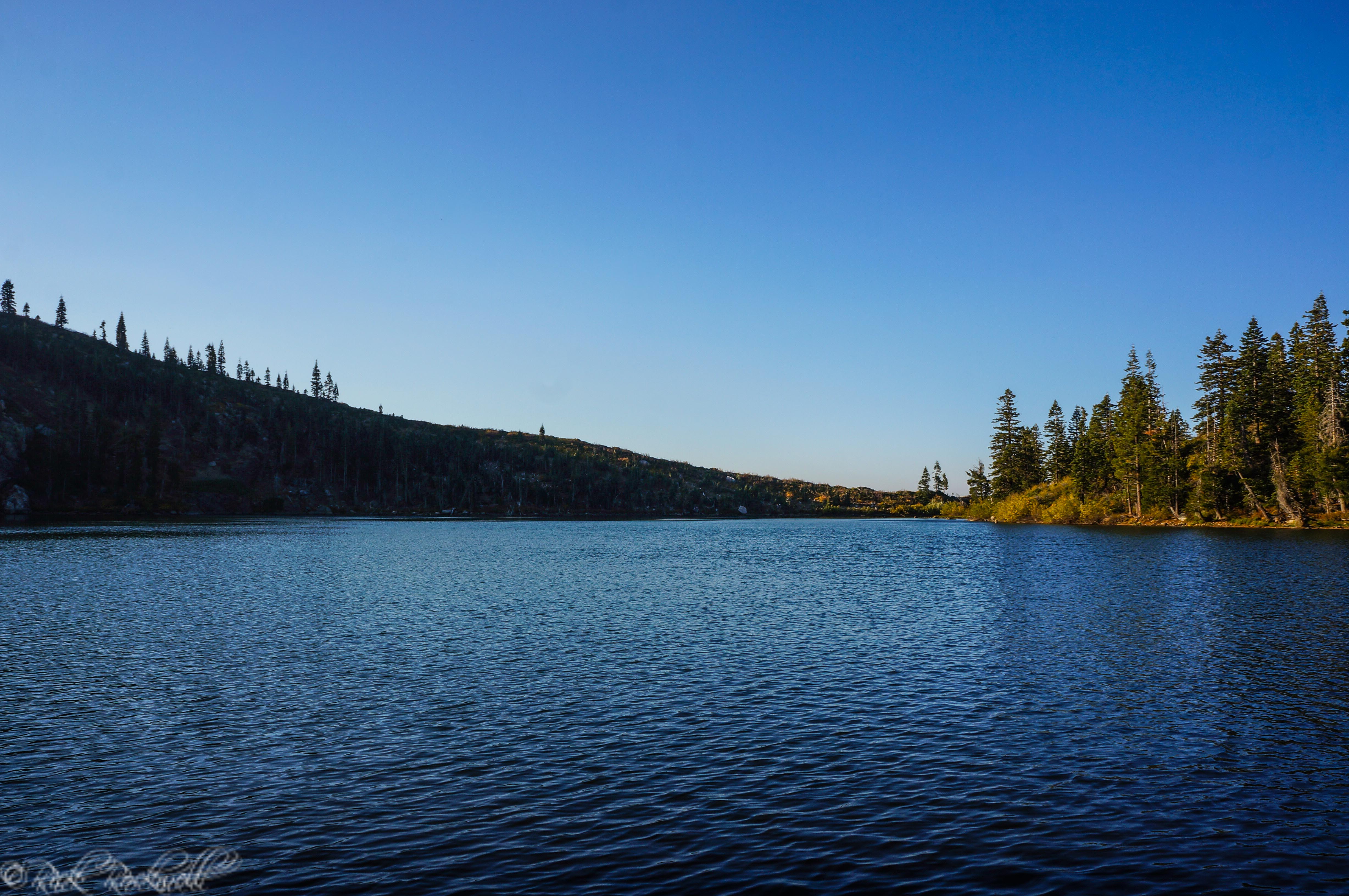
Tamarack Lake: A place of solitude and a mirror for Ralston Peak
Directions Take Highway 50 East from Sacramento almost 50 miles before taking a left onto Jonson Pass Road. You will stay left on this road until it dead ends at Lower Echo Lake. Trailhead The trailhead is located at Lower Echo Lake right near the Echo Chalet. This resort is seasonal and only open from …...
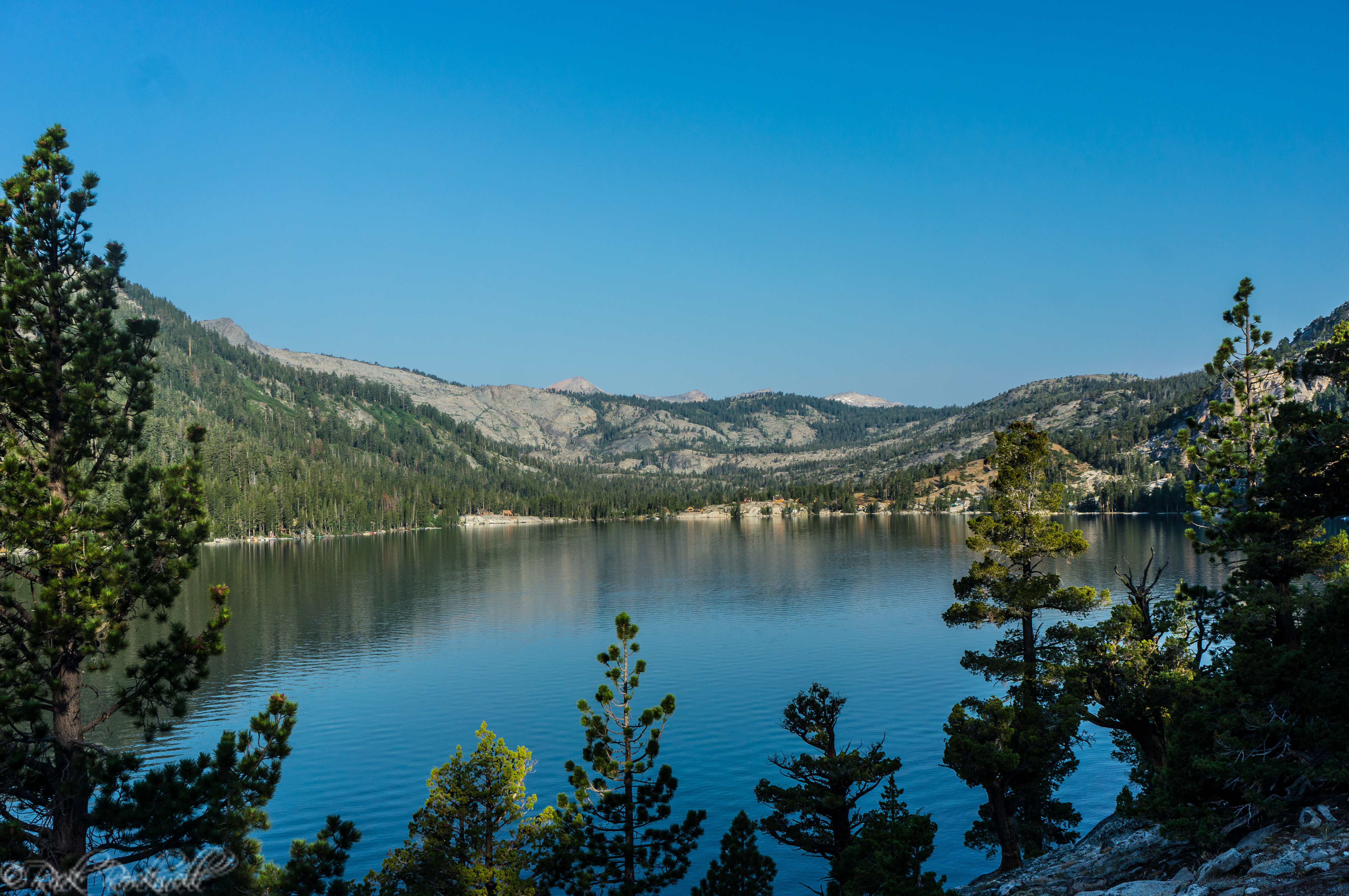
An exciting journey from Echo Lakes to Tamarack Lake and beyond
Echo Lake, also commonly referred to as Echo Lakes, is typically frozen during the winter due to its elevation of over 7,400 feet. The services located at Echo Lake are seasonal and are open from Memorial Day through Labor Day. These services include the popular Echo Chalet and the boat taxi. The trail from lower …...

Horsetail Falls: A challenging hike to an impressive waterfall
The trailhead begins at 6000 feet in elevation and climbs up to 7200 feet in elevation at the top of the waterfall. The trail is only 1.5 miles to the base of the waterfall. However, it’s easy to lose when traveling over the granite slabs. Additionally, the hike to the top of the waterfall requires …...
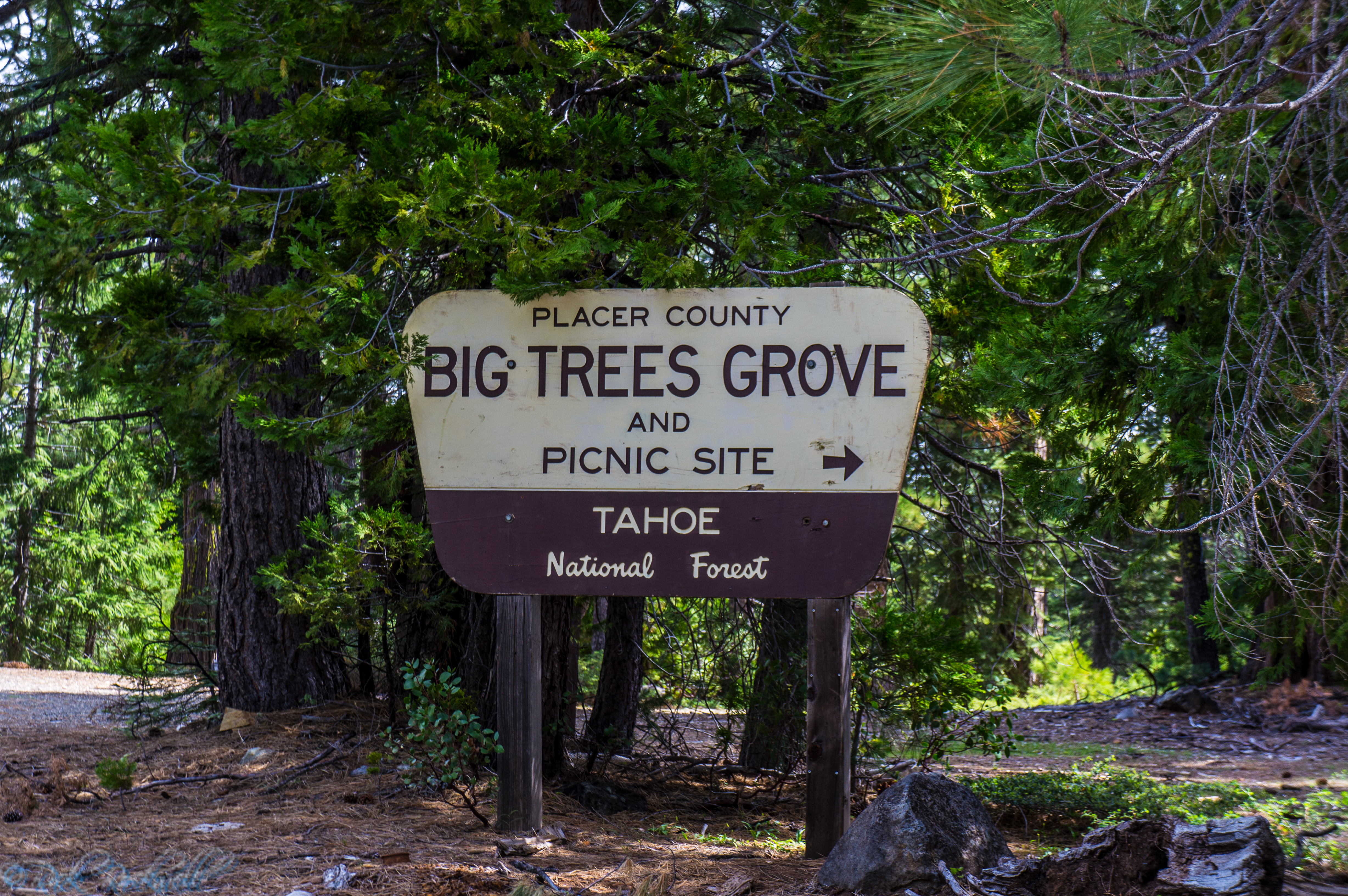
Big Trees Grove: Placer County’s giant sequoia anomaly
For many visitors, this grove represents a chance to walk amongst some of the oldest trees on the planet. These six sequoias are thought to be between 1000 and 2000 years old. In 1855, a gold prospector by the name of Joe Matlock discovered these trees. By 1892, the U.S. Forest Service began protecting these …...
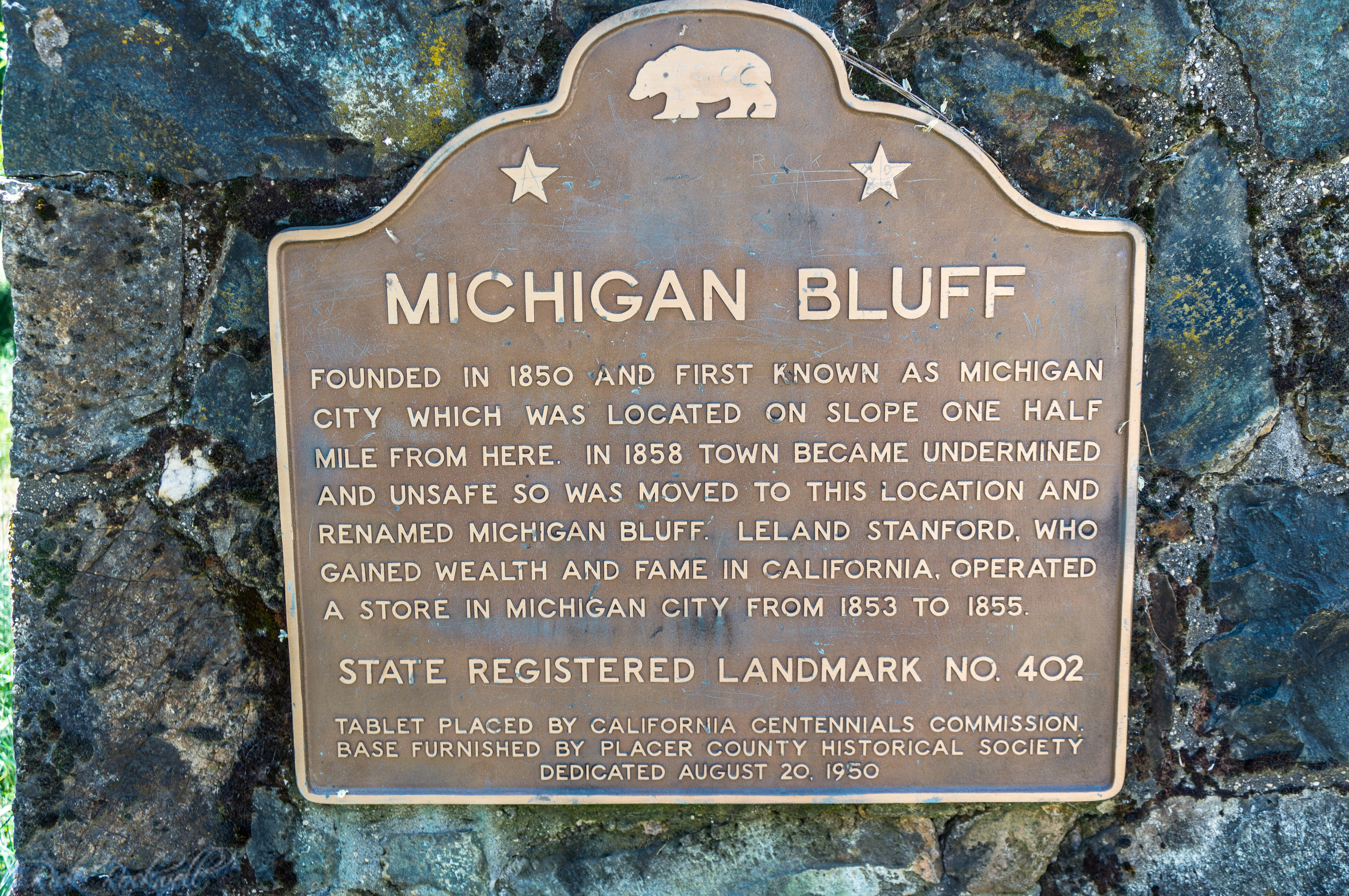
Michigan Bluff: From gold to Leland Stanford, this town was the envy of its day
This town used to be a booming place that rivaled any other town in Placer County during the gold rush era. In fact, one could make an argument for this town being the best of them all. A few homes, a cemetery, a small store and several historical markers are all that remains of this once prominent …...
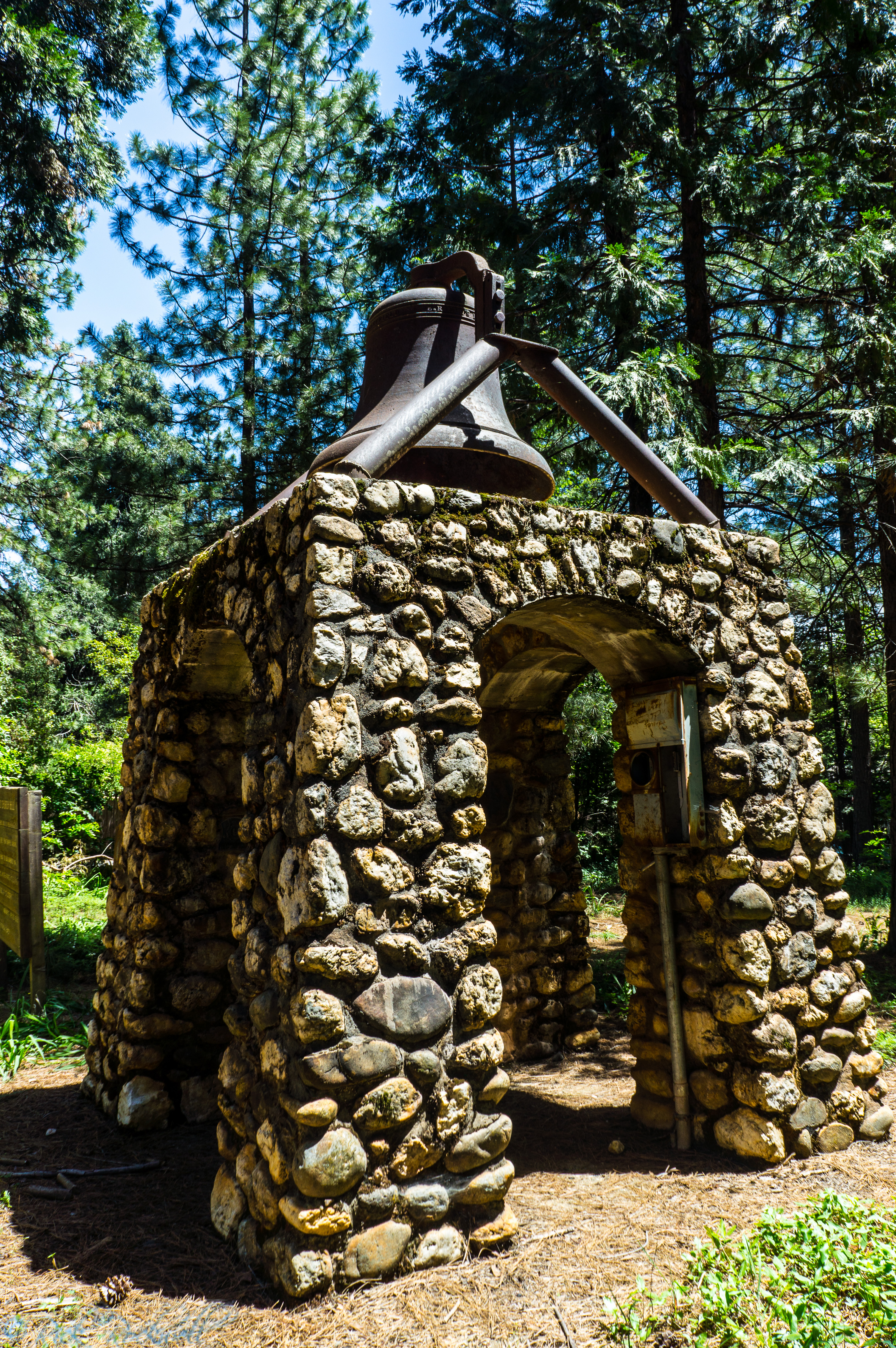
The tale of St. Joseph’s Church Bell
The parish decided to raise $3500 for a church bell to be added to St. Joseph. The bell was cast in Sheffield and then delivered to Boston. It would then be shipped around the Horn to San Francisco. By boat, the bell was taken to Sacramento where it was transported via cart with 6 horses to …...